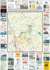
Arlington tourist map
Tourist map of Arlington, Washington. Shows all businesses.
548 miles away
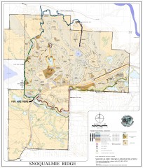
Snoqualmie Trail Map
Shows both soft surface and paved trails for biking, running/hiking/wailking, and horseback riding
548 miles away
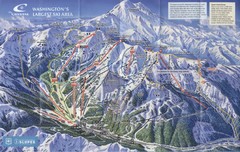
Crystal Mountain Resort Ski Trail Map
Trail map from Crystal Mountain Resort, which provides downhill skiing. It has 10 lifts servicing...
549 miles away
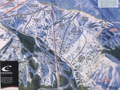
Crystal Mountain Resort Northway Inset Ski Trail...
Trail map from Crystal Mountain Resort, which provides downhill skiing. It has 10 lifts servicing...
549 miles away
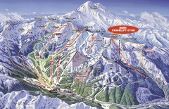
Crystal Mountain Ski Trail Map
Official ski trail map of Crystal Mountain ski area from the 2007-2008 season. 2600 acres of...
549 miles away
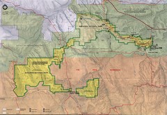
Badlands National Park Map
550 miles away
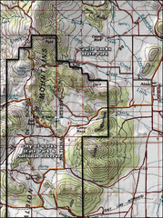
City of Rocks Topo Map
This topo map does not do justice to City of Rocks which is a wonderful reserve that is managed by...
550 miles away
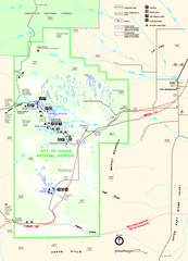
City of Rocks Park Map
This is the official Map for the reserve
550 miles away
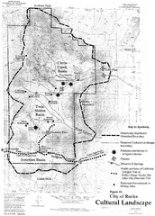
Sites of Cultural Importance, City of Rocks Area...
550 miles away
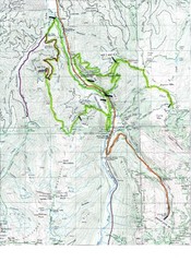
White River 50 Course Map
White River 50 Mile Trail Run
550 miles away
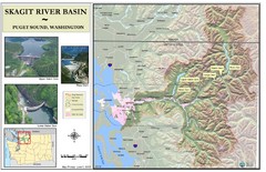
Skagit River Map
Skagit River Basin Overview Map (Pink shading is the FEMA 100 Year Flood)
550 miles away
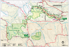
Official Badlands National Park Map
Official NPS map of Badlands National Park in South Dakota. The map shows all area's including...
550 miles away
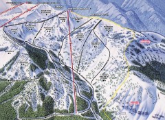
Crystal Mountain Ski Trail Map - Northway Area
Official ski trail map of the Northway area of Crystal Mountain ski area from the 2007-2008 season...
550 miles away

Skagit County Washington, 1909 Map
550 miles away

Arlington and Smokey Point tourist map
Tourist map of Arlington and Smokey Point, Washington. Shows all businesses.
551 miles away
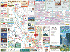
Snoqualmie Valley tourist map
Tourist map of the Snoqualmie Valley, Washington. Shows all businesses.
551 miles away
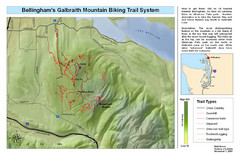
Bellingham Galbraith Mountain Biking Trail Map
Mountain biking trail map of Whatcom Falls Park near Bellingham, WA
551 miles away
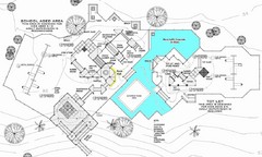
Lynden City Park Map
551 miles away
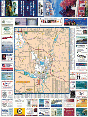
Snohomish tourst map
Tourist map of Snohomish, Washington. Shows all businesses.
552 miles away
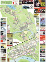
Snohomish tourist map
Snohomish, Washington tourist map. Shows all businesses.
552 miles away

Frost Fire Mountain Ski Trail Map
Trail map from Frost Fire Mountain.
552 miles away
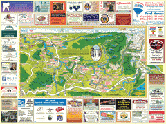
Snoqualmie tourist map
Snoqualmie, Washington tourist map. Shows all businesses.
552 miles away
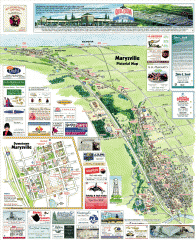
Marysville tourist map
Tourist map of Marysville, Washington. Shows all businesses.
553 miles away
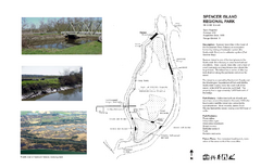
Spencer Island Park map
553 miles away
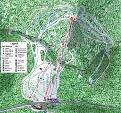
White Pass Ski Area Ski Trail Map
Trail map from White Pass Ski Area, which provides downhill, nordic, and terrain park skiing. It...
554 miles away
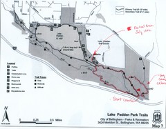
Lake Padden Park Trails Map
Course Elevation Map noted in handwriting on map. Festival location noted as well.
554 miles away
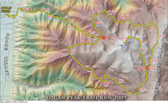
Logan Peak Trail Run Map 2009
Trail run map of the Logan Peak Trail Run 2009 course.
554 miles away
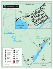
Birkenhead Lake Provincial Park Map
Park map of Birkenhead Lake Provincial Park, BC. Inset of campground
555 miles away
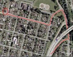
19th and Walnut in Everett, WA Map
555 miles away
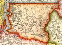
King County Washington, 1909 Map
555 miles away
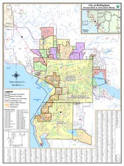
Bellingham, Washington City Map
555 miles away
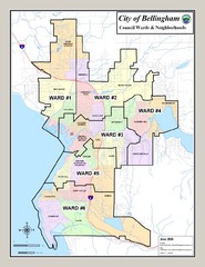
Bellingham Ward Map
Guide to wards in Bellingham, WA
555 miles away
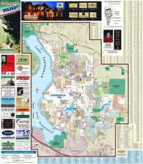
Sammamish tourist map
Tourist map of Sammamish, Washington. Shows all businesses.
555 miles away
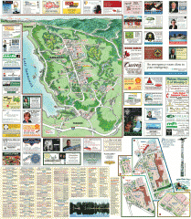
Sammamish tourist map
Sammamish, Washington tourist map. Shows all businesses.
556 miles away
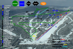
2004–07 Troll Downhill Map
Trail map from Troll. This ski area opened in 1972.
556 miles away
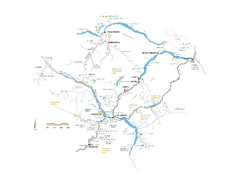
Pemberton Valley Area Parks Map
Area parks map of Pemberton Valley area in BC. Shows peaks and lakes.
556 miles away
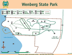
Wenberg State Park Map
Map of park with detail of trails and recreation zones
556 miles away
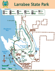
Larrabee State Park Map
Map of island with detail of trails and recreation zones
556 miles away
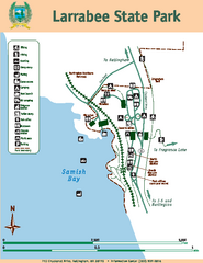
Larrabee State Park Map
Map of island with detail of trails and recreation zones
556 miles away
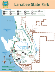
Larrabee State Park Map
Park map of Larrabee State Park, Washington.
556 miles away

