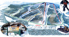
Hidden Valley Ski Trail Map
Trail map from Hidden Valley, which provides downhill skiing. This ski area has its own website.
0 miles away
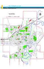
Swift Current Tourist Map
Tourist map of Swift Current, Saskatchewan. Shows all parks and walking paths.
118 miles away
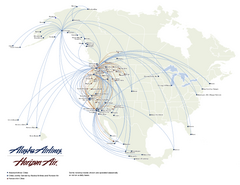
Alaska Airlines Route Map
119 miles away
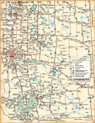
Southern Alberta Map
Shows highways, cities and towns, national/provincial parks and recreation areas, UNESCO World...
122 miles away
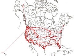
North America Layout Map
Countries, states and provinces in North America
123 miles away
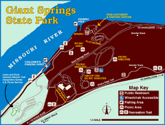
Giant Springs State Park Map
Set aside a whole afternoon to experience this scenic and historic freshwater springs site. First...
153 miles away
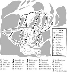
Teton Pass Ski Area Ski Trail Map
Trail map from Teton Pass Ski Area.
155 miles away
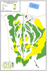
Prairie West Terminal Snow Park (Twin Towers) Ski...
Trail map from Prairie West Terminal Snow Park (Twin Towers), which provides downhill skiing. This...
160 miles away
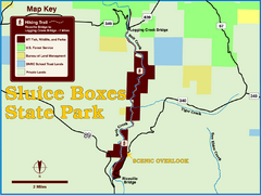
Sluice Boxes State Park Map
Remains of mines, a railroad, and historic cabins line Belt Creek as it winds through a beautiful...
161 miles away
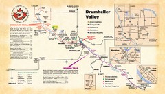
Drumheller Valley Tourist Map
Tourist map shows trails and points of interest of area around Drumheller, Alberta.
165 miles away
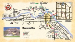
Drumheller Tourist Map
Tourist map of Drumheller, Alberta. Shows accommodations, campgrounds, restaurants, attractions...
165 miles away
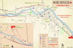
Drumheller Pedestrian Trail Map
165 miles away
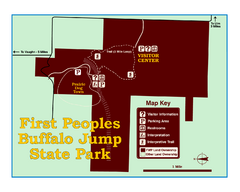
First People's Buffalo Jump State Park Map
A visitor center and interpretive trails tell the story of this prehistoric bison kill site, one of...
168 miles away

Glacier National Park by carvedmaps.com Map
Wooden carved map of Glacier National Park by carvedmaps.com Anywhere in the United States maps...
170 miles away
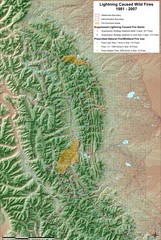
Montana Mountain Range Map
Fires on the Montana mountain range
177 miles away
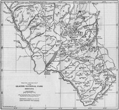
1915 Glacier National Park Map
Historical map of Glacier National Park in Montana.
177 miles away
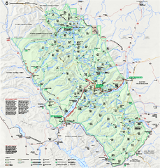
Glacier National Park official map
Glacier National Park official map.
177 miles away
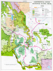
Continental Divide Scenic Trail Map
Guide to the Montana portion of the Continental Divide trail
183 miles away
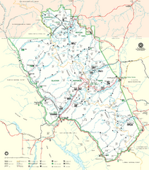
Glacier National Park Trail Map
Trails campgrounds and ranger stations.
184 miles away
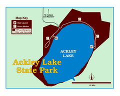
Ackley Lake State Park Map
Simple map of the State Park.
188 miles away
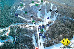
Pass Powderkeg Ski Trail Map
Trail map from Pass Powderkeg, which provides downhill skiing. This ski area has its own website.
188 miles away
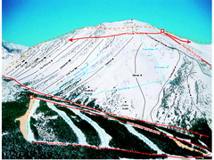
Castle Mountain Resort Ski Trail Map
Trail map from Castle Mountain Resort, which provides downhill skiing. This ski area has its own...
188 miles away
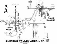
Diamond Valley Area Map
Map of Diamond Valley are, with Turner Valley & Black Diamond oil towns
191 miles away
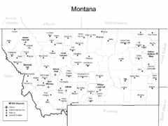
Montana Airports Map
192 miles away
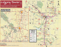
Calgary Tourist Map
Tourist map of Calgary, Canada. Shows points of interest. Scanned.
194 miles away
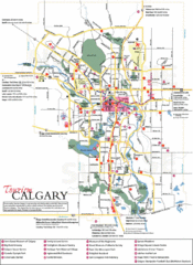
Calgary Map
194 miles away
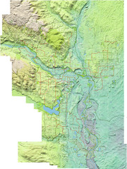
Calgary Topo Bike Map
This map shows the city of Calgary's bike routes. The topographic representation of the...
194 miles away
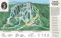
Showdown Ski Area Ski Trail Map
Trail map from Showdown Ski Area.
196 miles away
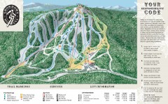
Showdown Ski Trail Map
Official ski trail map of Showdown ski area
196 miles away
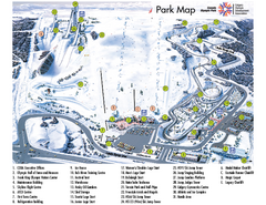
Canada Olympic Park Ski Trail Map
Trail map from Canada Olympic Park, which provides downhill skiing. This ski area has its own...
200 miles away
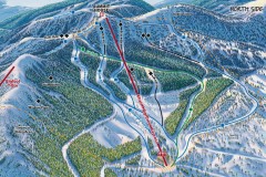
Whitefish Mountain Ski Trail Map - North Side
Official ski trail map of Whitefish Mountain ski area from the 2007-2008 season. (formerly named...
201 miles away
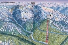
Whitefish Mountain Ski Trail Map - Hellroaring...
Official ski trail map of Whitefish Mountain ski area from the 2007-2008 season. (formerly named...
202 miles away
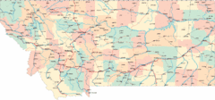
Montana Road Map
202 miles away
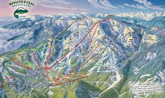
Whitefish Mountain Ski Trail Map - Front Side
Official ski trail map of Whitefish Mountain ski area from the 2007-2008 season. (formerly named...
202 miles away
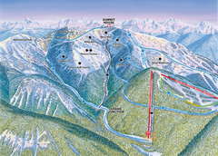
Whitefish Mountain Resort Hellroaring Ski Trail...
Trail map from Whitefish Mountain Resort.
202 miles away

Whitefish Mountain Resort Northside Ski Trail Map
Trail map from Whitefish Mountain Resort.
202 miles away
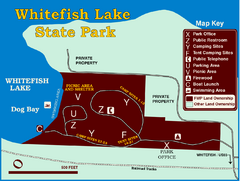
Whitefish Lake State Park Map
Although it’s right on the outskirts of Whitefish, this small park provides a mature forest...
205 miles away
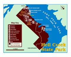
Hell Creek State Park Map
You’ll reach this campground park, 25 miles north of Jordan, through the spectacular scenery...
209 miles away
2001 Wintergreen Downhill Map Part 2
Trail map from Wintergreen.
211 miles away
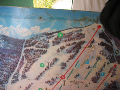
2001 Wintergreen Downhill Map Part 1
Trail map from Wintergreen.
211 miles away

