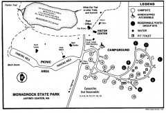
Monadnock State Park map
Campground map of Monadnock State Park in New Hampshire
67 miles away
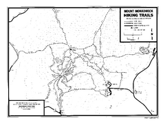
Mount Monadnock State Park Map
Official hiking map of the park. With its thousands of acres of protected highlands, 3,165-ft...
67 miles away
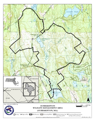
Hubbardston WMA Map
67 miles away
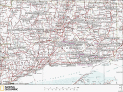
Connecticut Canoeing and Kayaking Lakes Map
A map of the lakes and ponds that are open for canoeing and kayaking in Connecticut. For detailed...
67 miles away
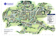
University of Connecticut - Storrs Campus Map
University of Connecticut - Storrs Campus Map. All areas shown.
67 miles away
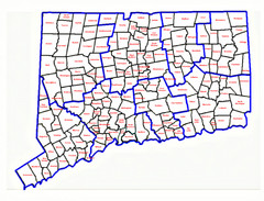
Connecticut Town Map
68 miles away
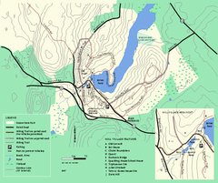
Moore State Park trail map
Trail map of Moore State Park in Massachusetts.
68 miles away
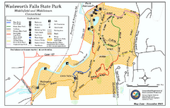
Wadsworth Falls State Park map
Trail map of Wadsworth Falls State Park in Connecticut.
69 miles away
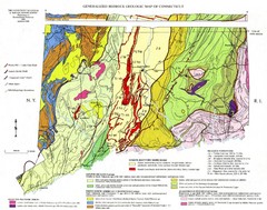
Connecticut Geologic Map
Geologic map of Connecticut bedrock. Shows shaded terranes, fault lines, and Mesozoic formations.
69 miles away
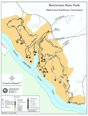
Kettletown State Park trail map
Trail map for Kettletown State Park in Connecticut.
69 miles away
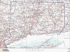
Connecticut State Parks Map
This is statewide map for Connecticut state parks. Go to the source website for detailed hiking...
69 miles away
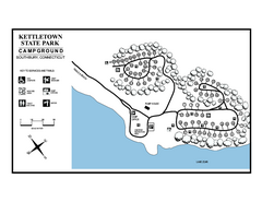
Kettletown State Park campground map
Campground map for Kettletown State Park in Connecticut.
69 miles away
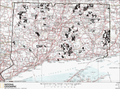
Connecticut State Forests Map
This is a map of all of the state forest boundaries in Connecticut. Follow the source web address...
69 miles away
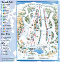
Powder Ridge Ski Area Ski Trail Map
Trail map from Powder Ridge Ski Area.
69 miles away
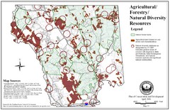
Mansfield Conservation and Development Map
Guide to Agricultural, Forestry and Natural Diversity Resources
69 miles away

Mansfield Cemetery Map
70 miles away
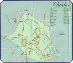
Chester Town Map
70 miles away
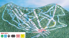
Plattekill Ski Trail Map
Official ski trail map of Plattekill ski area from the 2007-2008 season.
71 miles away
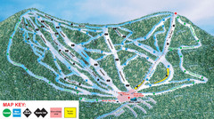
Ski Plattekill Ski Trail Map
Trail map from Ski Plattekill.
71 miles away
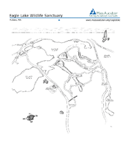
Eagle Lake Conservation Area Map
71 miles away
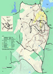
Wachusett Mountain State Reservation trail map
Trail map of Wachusett Mountain State Reservation in Massachusetts.
71 miles away
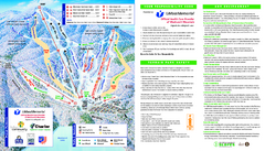
Wachusett Mountain Ski Trail Map
Trail map from Wachusett Mountain.
71 miles away
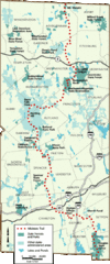
Midstate Trail Map
Map of the Midstate Trail, which runs from Ashburnham to the Rhode Island border. Shows state...
71 miles away
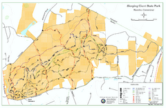
Sleeping Giant State Park map
Trail map for Sleeping Giant State Park in Connecticut.
72 miles away
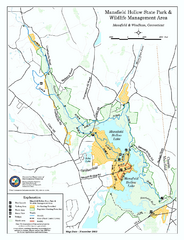
Mansfield Hollow State Park map
Map for Mansfield Hollow State Park and Wildlife Management Area in Connecticut.
72 miles away
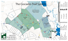
Cascades Park Map
72 miles away
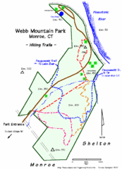
Webb Moutain Park Map
72 miles away
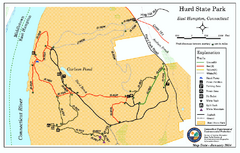
Hurd State Park trail map
Trail map for Hurd State Park in Connecticut.
73 miles away
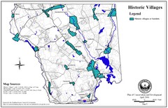
Historic Villages of Mansfield, Connecticut Map
Historical villages outlined on the map of the existing city.
73 miles away
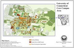
University of Connecticut Campus Map
Map shows current, funded projects and future development for UConn.
73 miles away
Mt. Watatic to Wachusett Mountain, Massachusetts...
73 miles away
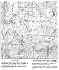
Trout Brook Conservation Area Map
73 miles away
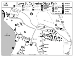
Lake St. Catherine State Park Campground Map
Campground map of St. Catherine State Park in Vermont
73 miles away
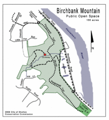
Birchbank Park Map
73 miles away
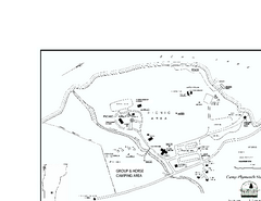
Camp Plymouth State Park map
Map of Camp Plymouth Park in Vermont.
74 miles away
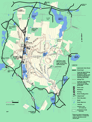
Leominster State Forest trail map
Trail map of Leominster State Forest in Massachusetts
74 miles away

Salmon River State Forest trail map
Trail map for Salmon River State Forest in Connecticut.
74 miles away
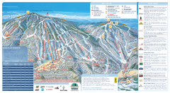
Okemo Ski Trail Map
Ski trail map of Okemo ski area. A James Niehues creation.
74 miles away

Okemo Mountain Resort Ski Trail Map
Trail map from Okemo Mountain Resort.
74 miles away
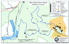
Daypond State Park map
Trail map for Day Pond State Park
74 miles away

