
Wadsworth Athenium Museum Location Map
Wadsworth Athenium visitor location map with locations of major buildings, streets, parks, and...
55 miles away
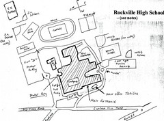
Rockville High School Map
Hand-drawn map of Rockville High School includes all buildings, Parking Lots, and sports fields.
56 miles away
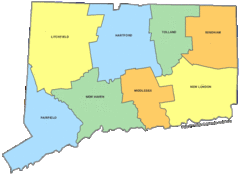
Connecticut Counties Map
57 miles away
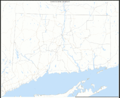
Connecticut Zip Code Map
Check out this Zip code map and every other state and county zip code map zipcodeguy.com.
57 miles away
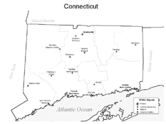
Conneticut Airports Map
57 miles away
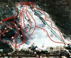
Woodbury Ski Area Ski Trail Map
Trail map from Woodbury Ski Area, which provides downhill, night, nordic, and terrain park skiing...
57 miles away
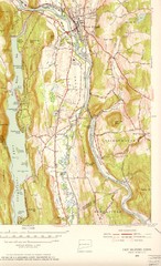
New Milford, Connecticut Map
New Milford, Connecticut topo map with roads, streets and buildings identified
58 miles away
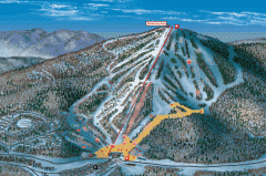
Bromley Mountain Ski Area map 2006-07
Simple ski trail map of Bromley Mountain Ski Area for the 2006-2007 season.
58 miles away
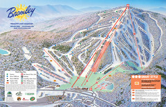
Bromley Mountain Ski Trail Map
Trail map from Bromley Mountain.
58 miles away
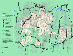
Brimfield State Forest trail map
Trail map of Brimfield State Forest in Massachusetts
60 miles away
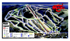
Magic Mountain Ski Trail map
Official ski trail map of Magic Mountain ski area from the 2006-2007 season.
60 miles away
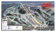
Magic Mountain Ski Trail Map
Trail map from Magic Mountain.
60 miles away
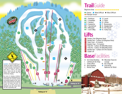
Mt. Southington Ski Area Ski Trail Map
Trail map from Mt. Southington Ski Area, which provides downhill, night, and terrain park skiing...
61 miles away
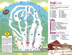
Mount Southington Ski Trail Map
Official ski trail map of Mount Southington ski area from the 2007-2008 season.
61 miles away
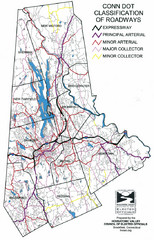
Connecticut Roadway Classification Map
61 miles away
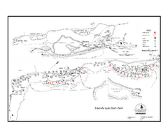
Emerald Lake State Park Campground Map
Campground map of Emerald Lake State Park in Vermont
61 miles away
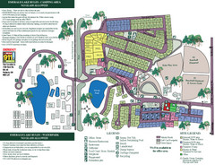
Emerald Lake State Park Map
61 miles away
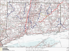
Connecticut Long Distance Trails Map
A map of long distance trails throughout Connecticut. Go to the website below for detailed trail...
61 miles away
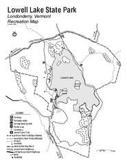
Lowell Lake State Park map
Campground map for Lowell Lake State Park in Vermont
62 miles away
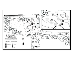
Dinosaur State Park map
Trail map of Dinosaur State Park in Connecticut.
62 miles away
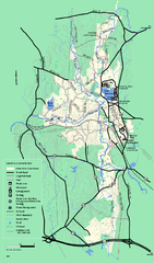
Otter River State Forest summer trail map
Summer trail map of the Otter River State Forest area in Massachusetts.
62 miles away
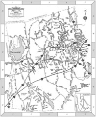
Middlebury, Connecticut Map
62 miles away
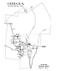
Onteora District Map
Boy Scouts Map of Onteora
62 miles away
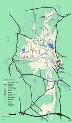
Otter River State Forest winter trail map
Winter usage trail map for Otter River State Park in Massachusetts.
62 miles away
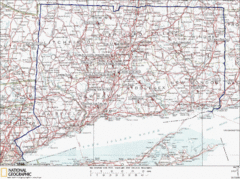
Connecticut Rock Climbing Locations Map
A map of most of the important rock climbing and bouldering areas in Connecticut. Click the link...
63 miles away
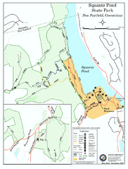
Squantz Pond State Park map
Trail and campground map for Squantz Pond State Park in Connecticut.
64 miles away
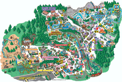
Six Flags Great Escape Theme Park Map
Official Park map of Six Flags Great Escape Theme Park in Lake George, NY.
64 miles away
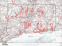
Connecticut Road Cycling Routes Map
A map of road cycling routes throughout Connecticut. Follow the link below for detailed route maps...
64 miles away
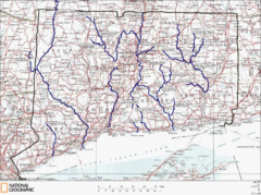
Connecticut Rivers and Coastal Paddling Map
This is a map of paddling areas for rivers and coastal kayaking. Follow the link below for...
64 miles away
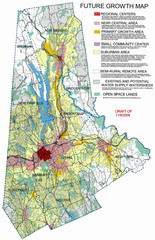
Danbury Regional Growth Map
Guide to future growth of Danbury, CT and surrounds
64 miles away
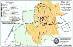
Gay City State Park trail map
Trail map of Gay City State Park in Connecticut.
64 miles away
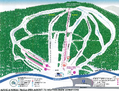
Granite Gorge Ski Trail Map
Trail map from Granite Gorge. This ski area opened in 2005.
65 miles away
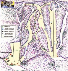
West Mountain Ski Area Ski Trail Map
Trail map from West Mountain Ski Area.
65 miles away
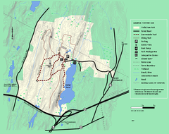
Wells State Park winter trail map
Winter use trail map of Wells State Park in Massachusetts.
65 miles away
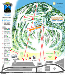
Thunder Ridge Ski Trail Map
Trail map from Thunder Ridge.
65 miles away
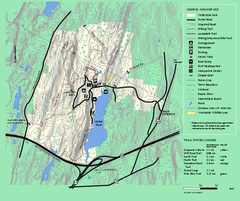
Wells State Park trail map
Trail map of Wells State Park in Massachusetts.
65 miles away
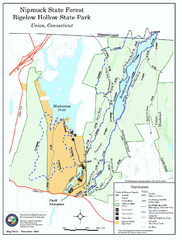
Bigelow Hollow State Park trail map
Trail map of Bigelow Hollow State Park in Connecticut.
65 miles away
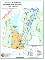
Nipmuck State Forest trail map
Trail map of Nipmuck State Forest and Bigelow Hollow State Park in Connecticut.
66 miles away
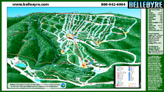
Belleayre Mountain Ski Trail Map
Trail map from Belleayre Mountain.
66 miles away
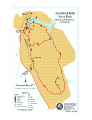
Southford Falls State Park map
Trail map for Southford Falls State Park in Connecticut.
67 miles away

