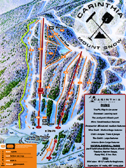
Mount Snow Carinthia Terrain Park Ski Trail Map
Trail map from Mount Snow.
42 miles away
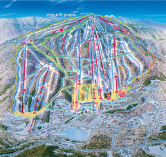
Mount Snow Ski Trail Map - main face
Trail map of main face of Mt Snow ski area near Wilmington, Vermont
42 miles away

South Mohawk Mountain State Forest (Winter Trails...
Winter trial map for the Southern Section of Mohawk Mountain State Forest in Connecticut.
42 miles away
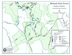
South Mohawk Mountain State Forest (Summer Trails...
Summer trails for South Mohawk State Forest in Connecticut.
42 miles away
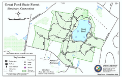
Great Pond State Park trail map
Trail map of Great Pond State Forest in Connecticut.
43 miles away
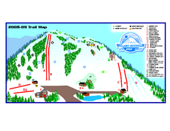
Willard Mountain Ski Area Ski Trail Map
Trail map from Willard Mountain Ski Area.
43 miles away
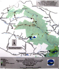
Northern Catskill Trail Map
Trail map shows hiking trails in the northern Catskills of New York. Shows trails in Windham High...
44 miles away
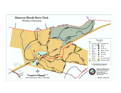
Stratton Brook State Park map
Trail map of Stratton Brook State Park in Connecticut.
45 miles away
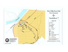
Kent Falls State Park trail map
Trail map of Kent Falls State Park in Connecticut.
45 miles away

Poets Walk Trail Map
Guide to Poet's Walk and Hudson River Overlook
45 miles away
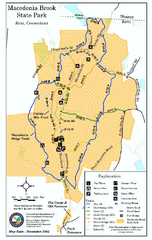
Macedonia Brook State Park trail map
Trail map of Macedonia Brook State Park in Connecticut.
46 miles away
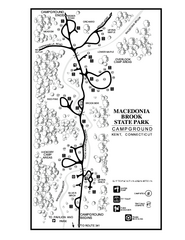
Macedonia Brook State Park campground map
Campground map for Macedonia Brook State Park in Connecticut.
46 miles away
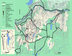
Wendell State Forest trail map
Trail map of Wendell State Forest in Massachusetts.
46 miles away
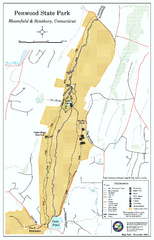
Penwood State Park map
Trail map of Penwood State Park in Connecticut.
47 miles away
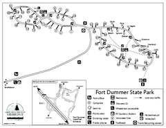
Fort Dummer State Park Campground Map
Campground map of Fort Dummer State Park in Vermont
47 miles away

Topsmead State Forest map
Trail map for Topsmead State Forest in Connecticut.
47 miles away
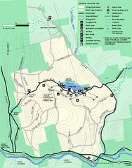
Erving Summer trail map
Summer use map of Erving State Park in Massachusetts.
47 miles away
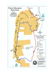
Talcott Mountain State Park map
Trail map of Talcott Mountain State Park in Connecticut.
47 miles away
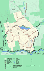
Erving State Park winter use map
Winter use map of the Erving State Park in Massachusetts
48 miles away
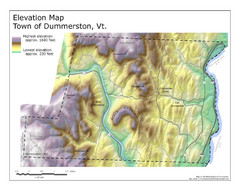
Elevation Map of Dummerston, Vermont
This Hypsometric map is a map that distinguishes elevations progression within a specific...
50 miles away
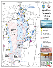
Quabbin Reservoir Fishing Map
Fishing access map of Quabbin Reservoir. Shows all ponds and submerged ponds.
50 miles away
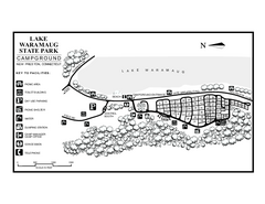
Lake Waramaug State Park campground map
Campground map of Lake Waramaug State Park.
50 miles away
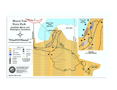
Mount Tom State Park trail map
Trail map of Mt. Tom State Park in Connecticut.
50 miles away
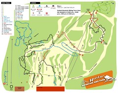
Hunter Mountain Bike Park Map
Map of bike trails in park
50 miles away
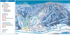
Hunter Mountain ski trail map
Official ski trail map of Hunter Mountain ski area from the 2006-2007 season.
51 miles away
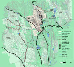
Mt. Grace State Forest trail map
Trail map of Mt. Grace State Forest near Warwick, Massachusetts.
51 miles away
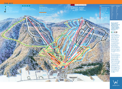
Windham Mountain Ski Trail Map
Trail map from Windham Mountain.
51 miles away
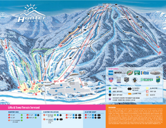
Hunter Mountain Ski Bowl Ski Trail Map
Trail map from Hunter Mountain Ski Bowl.
51 miles away
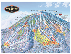
Stratton Mountain ski area trail map 2006-07
Official ski trail map of Stratton Mountain ski area from the 2006-2007 season.
51 miles away
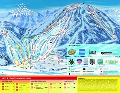
Hunter Mountain Trail Map
51 miles away
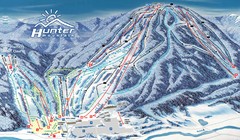
Hunter Mountain Trail Map
Ski trail map
51 miles away
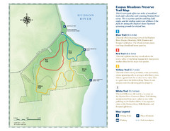
Esopus Meadows Preserve Trail Map
Trail map of Esopus Meadows Preserve park on the Hudson River.
52 miles away
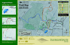
Equinox Preservation Trail map
Trail map of the Equinox Preservation Trust in Manchester, VT. The Equinox Preservation is over...
52 miles away

Palmer Motorsports Park Map
Track Map for Proposed Palmer Motorsports Park
52 miles away
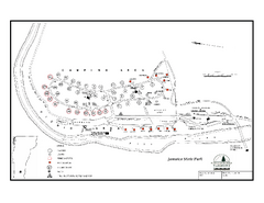
Jamaica State Park Campground Map
Campground map of Jamaica State Park in Vermont
52 miles away
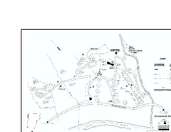
Townshend State Park Campground Map
Campground map of Townshend State Park in Vermont
53 miles away
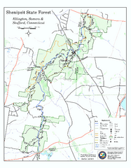
Trail map of Shenipsit State Forest
Trail map of Shenipsit State Forest in Connecticut.
53 miles away
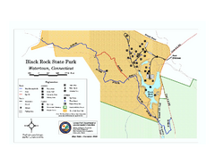
Black Rock State Park trail map
Trail map of Black Rock State Park in Connecticut.
53 miles away
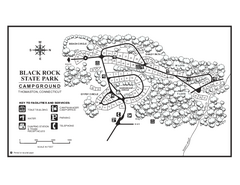
Black Rock Campground map
Map of the Campgrounds in Black Rock State Park.
54 miles away
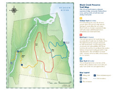
Black Creek Trail Preserve Map
Trail map of Black Creek Preserve on the Hudson River in New York. Shows Yellow Trail, Red Trail...
54 miles away

