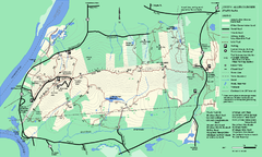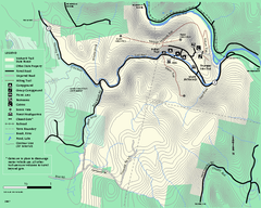
Mohawk Trail State Forest map
Map of the Mohawk Trail State Forest in Charlemont, Massachusetts.
25 miles away
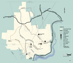
Monroe State Forest trail map
Trail map of Monroe State Forest in Massachusetts.
26 miles away
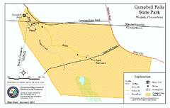
Cambell Falls State Park map
Trail map of Campbell Falls State Park Reserve in Connecticut
26 miles away
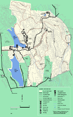
DAR State Forest summer map
Summer use map of the Daughters of the American Revolution state forest.
27 miles away
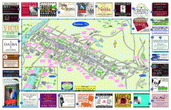
Hudson Tourist Map
Tourist map of Hudson, New York showing all tourist points of interest. Ads around border.
29 miles away
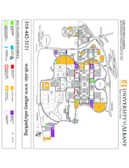
University at Albany Map
Campus Map of the University at Albany. All buildings shown.
29 miles away
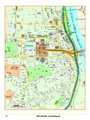
Albany downtown map
Road map of downtown Albany, NY. Shows city parks and New York State government buildings.
29 miles away
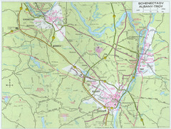
Albany, New York City Map
29 miles away
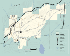
Windsor State Forest trail map
Trail map of Windsor State Forest in Massachusetts.
29 miles away
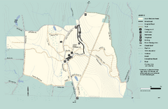
Granville State Forest trail map
Trail map of Granville State Forest in Massachusetts
30 miles away
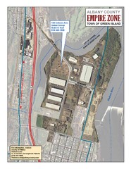
Green Island Map
Aerial town map of Green Island, New York on the Hudson River
31 miles away
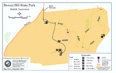
Dennis Hill State Park map
Trail map of Dennis Hill State Park in Connecticut.
33 miles away
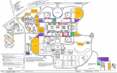
New York State University Uptown Campus Map
Map of the NYS University Campus, including all buildings, streets, and Visitors Parking...
33 miles away
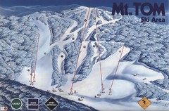
Mount Tom Ski Trail Map
Trail map from Mount Tom, which provides downhill skiing. This ski area opened in 1962.
34 miles away
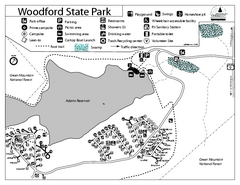
Woodford State Park Campground Map
Campground map for Woodford State Park in Vermont
35 miles away
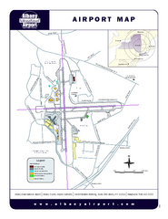
Albany International Airport Map
Official Map of the Albany International Airport in New York. Shows all terminals.
35 miles away
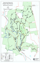
American Legion State Forest trail map
Trail map of American Legion and Peoples State Forests in Connecticut.
35 miles away
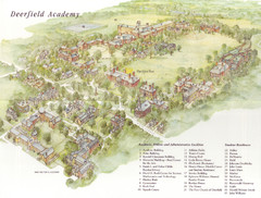
Deerfield Academy Campus Map
Shows buildings and facilities of Deerfield Academy. Scanned.
35 miles away
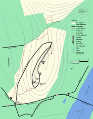
Mt. Sugarloaf State Reservation trail map
Trail map of Mount Sugarloaf State Reservation
36 miles away
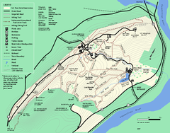
Mt. Tom State Reservation trail map
Trail map of Mt. Tom State Reservation
36 miles away
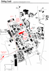
University of Massachusetts Amherst Parking Map
Map of the University of Massachusetts. Includes all buildings, streets, and parking information.
38 miles away
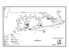
Molly Stark State Park Campground Map
Campground map for Molly State State Park in Vermont
38 miles away
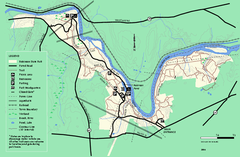
Robinson State Park trail map
Trail map of Robinson State Park in Massachusetts.
39 miles away
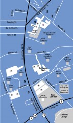
Downtown Amherst, Massachusetts Map
Tourist map of downtown Amherst, Massachusetts, showing attractions, government buildings, atms...
39 miles away
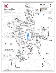
University of Massachusetts - Amherst Map
Campus Map of the University of Massachusetts - Amherst. All buildings shown.
39 miles away
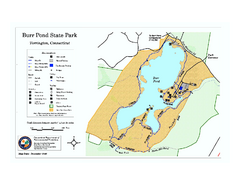
Burr Pond State Park map
Map of Burr Pond State Park in Connecticut.
39 miles away
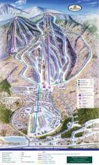
Haystack Club Ski Trail map
Official ski trail map of Haystack ski area from the 2006-2007 season.
40 miles away
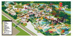
Six Flags New England Theme Park Map
Official Park Map of Six Flags New England in Massachusetts.
40 miles away
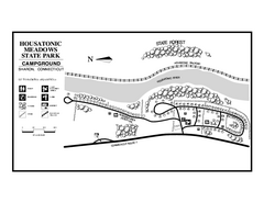
Housatonic Meadows State Park campground map
Campground map for Housatonic Meadows State Park in Connecticut.
40 miles away
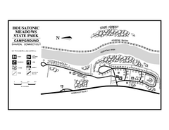
Housatonic State Forest campground map
Campground map of Housatonic State Forest in Connecticut.
40 miles away
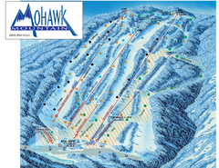
Mohawk Mountain Ski Trail Map
Ski trail map of Mohawk Mountain ski area
40 miles away
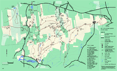
Mount Holyoke Range State Park Map
Trail map of Holyoke Range State Park.
40 miles away
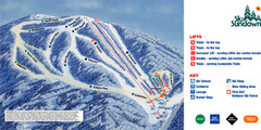
Ski Sundown Ski Trail Map
Trail map from Ski Sundown, which provides downhill and night skiing. It has 5 lifts servicing 15...
41 miles away

North Mohawk Mountain State Forest (Summer Trails...
Summer trail map of the North section of Mohawk Mountain State Forest in Connecticut.
41 miles away

North Mohawk Mountain State Forest (Winter Trails...
Winter trail map for North Mohawk Mountain State Forest in Connecticut.
41 miles away
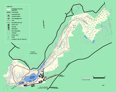
Chicopee State Park trail map
Chicopee State Park trail map
41 miles away
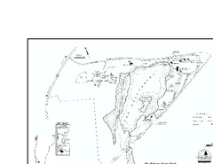
Shaftsbury State Park Map
Campground map of Shaftsbury State Park in Vermont.
42 miles away
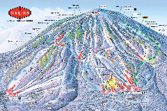
Stratton Mountain Resort Ski Trail Map
Trail map from Stratton Mountain Resort.
42 miles away
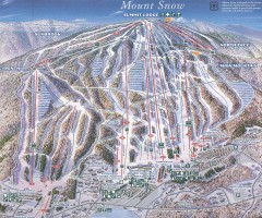
Mount Snow Trail Map 2001
Ski trail map of Mount Snow ski area, estimated 2001
42 miles away

