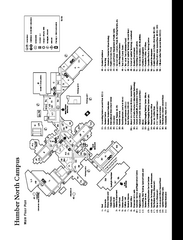
Humber College North Campus Map
Humber College North Campus Map. Shows all buildings.
176 miles away

Song Mountain Ski Trail Map
Trail map from Song Mountain.
176 miles away
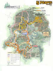
Albion Hills Running Course Map
Map shows the Enduro Course, Sport Course and Half Marathon Course for the 5 Peaks trail running...
177 miles away
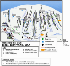
Ski Mansfield Ski Trail Map
Trail map from Ski Mansfield, which provides downhill skiing. This ski area has its own website.
177 miles away
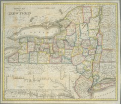
1831 Antique New York State map
The tourist's map of the state of New York : compiled from the latest authorities in the...
178 miles away

Bristol Mountain Ski Resort Ski Trail Map
Trail map from Bristol Mountain Ski Resort.
178 miles away
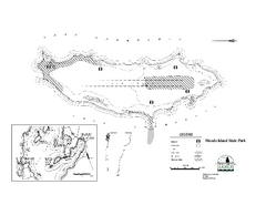
Woods Island State Park Campground Map
Campground map of Woods Island State Park in Vermont
178 miles away
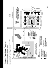
Humber College Lakeshore Campus Map
Humber College Lakeshore Campus Map. Map is of both East and West Campus. Shows all buildings.
178 miles away
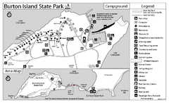
Burton Island State Park map
Campground map of Burton Island State Park in Vermont
178 miles away
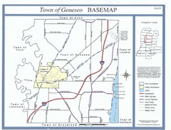
Geneseo Town Map
179 miles away
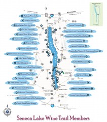
Seneca Lake Wine Trail Map
Winery tour map of Seneca Lake area in New York. Shows all vineyards that are members of the wine...
179 miles away

Digital Elevation Model (DEM) of Conesus Lake Map
Digital Elevation Model (DEM) of Conesus Lake Map created in ARC Gis
179 miles away
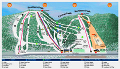
Labrador Mountain Ski Trail Map
Trail map from Labrador Mountain.
179 miles away
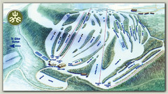
Devils Glen Ski Trail Map
Trail map from Devils Glen, which provides downhill skiing. This ski area has its own website.
179 miles away
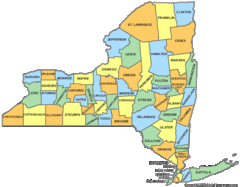
New York Counties Map
179 miles away
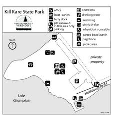
Kill Kare State Park map
Campground map of Kill Kare State park in Vermont
180 miles away
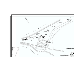
Sand Bar State Park Map
Campground map of Sand Bar State Park in Vermont
180 miles away
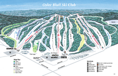
Osler Bluff Ski Club Ski Trail Map
Trail map from Osler Bluff Ski Club, which provides downhill skiing. This ski area has its own...
180 miles away
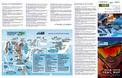
Blue Mountain Ski Trail Map
Trail map from Blue Mountain, which provides downhill skiing. This ski area has its own website.
181 miles away
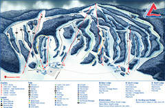
Craigleith Ski Club Ski Trail Map
Trail map from Craigleith Ski Club, which provides downhill skiing. This ski area has its own...
182 miles away
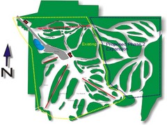
Cedar Highlands Ski Trail Map
Trail map from Cedar Highlands.
182 miles away

Terry Fox Run Trail Map
182 miles away
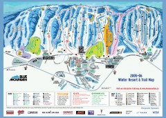
Blue Mountain Ski Trail Map
Official ski trail map of Blue Mountain ski area from the 2005-2006 season.
182 miles away
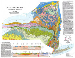
New York State Geologic Map
1:1,000,000 scale geological map of New York State
182 miles away
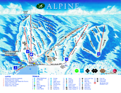
Alpine Ski Club Ski Trail Map
Trail map from Alpine Ski Club, which provides downhill skiing. This ski area has its own website.
182 miles away
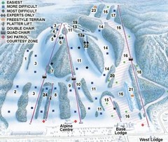
Georgian Peaks Club Ski Trail Map
Trail map from Georgian Peaks Club, which provides downhill and nordic skiing. This ski area has...
183 miles away
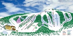
Hockley Valley Resort Ski Trail Map
Trail map from Hockley Valley Resort, which provides downhill skiing. This ski area has its own...
184 miles away
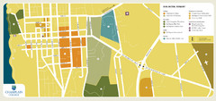
Burlington, Vermont City Tourist Map
The city of Burlington, Vermont
185 miles away
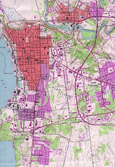
Burlington Vt 87 Map
Topographical map of the city of Burlington, Vt.
185 miles away

Hunt Hollow Ski Trail Map
Trail map from Hunt Hollow.
185 miles away
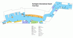
Burlington International Airport Terminal Map
Official Terminal Map of Burlington International Airport. All areas shown.
187 miles away
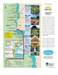
Niagara Garden Trail Map
Tourist map of attractions along the Garden Trail along the Canadian side of the St. Lawrence River...
187 miles away
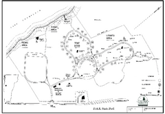
D.A.R. State Park map
Map of D.A.R. State park in Vermont
187 miles away
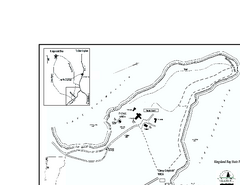
Kingsland Bay State Park Map
Campground map for Kingsland Bay State Park in Vermont
188 miles away
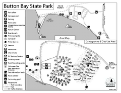
Button Bay State Park Campground Map
Campground map of Button Bay State Park in Vermont
188 miles away
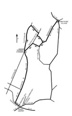
30K Race Course Map
Green Mountain Athletic Association Common to Common 30K Course Map in Essex Junction, VT
188 miles away
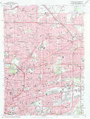
Northeast Buffalo Topo Map
1:24,000 topographic map of the northeast part of Buffalo, New York and surrounding suburbs...
188 miles away
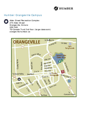
Humber College Orangeville Campus Map
Humber College Orangeville Campus Map. Shows all areas.
188 miles away
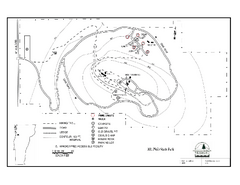
Mt. Philo State Park Campground Map
Campground map for Mt. Philo State Park in Vermont
188 miles away
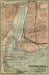
Antique map of Niagara Falls from 1894
"Niagara Falls" from Baedeker, Karl. The Dominion of Canada with Newfoundland and an...
188 miles away

