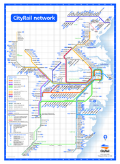
Sydney City Rail Network Map
Rail network map of Sydney, Australia.
236 miles away
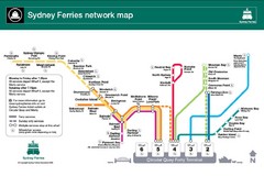
Sydney Ferries Map
Map of Sydney Ferry system with details of lines and stops
236 miles away
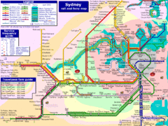
Sydney Rail and Ferry Map
Map of Sydney rail and ferry transit system
236 miles away
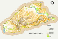
Canterbury Contour Map
The above map, which has lines marked to indicate points or areas that are the same elevation above...
236 miles away
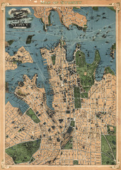
Robinson’s map of Sydney, Australia (1922)
Fun-looking and quite expertly-rendered overhead map of Australia's most populous city: Sydney...
236 miles away
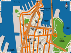
Sydney Hotel Map
236 miles away
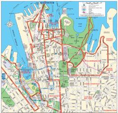
Sydney City Map
City Map of Sydney with tourist information
236 miles away
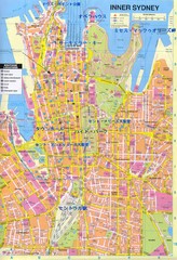
Sydney (in Japanese) Map
236 miles away
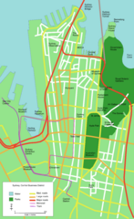
Sydney Central Business District Map
236 miles away
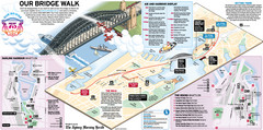
Sydney Harbour Bridge 75th Anniversary Walk Map
Map of Harbour Bridge 75th Anniversary Walk held on March 18, 2007
236 miles away
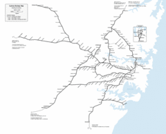
Sydney Railway Map
Sydney railway.
237 miles away
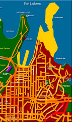
Sydney City Map
City map of Sydney: Kings Cross to Central
237 miles away
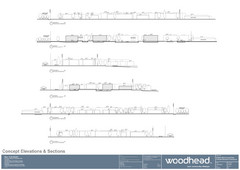
Woodhead Community Lifestyle Map
Elevation sections of the Blue Dolphin Joint Venture in North Sydney
238 miles away
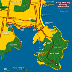
Manly Beach Map
243 miles away
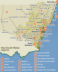
New South Wales Map
Map of New South Wales region with detail of districts
254 miles away
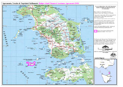
Flinders Island Map
Shows badger island financial assistance agreement 2000. Also shows Cape Barren Island
258 miles away
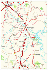
Wellington Region Road Map
Road map of region including Wellington, Dubbo, and Molong, Australia.
264 miles away
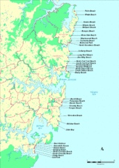
New South Wales, Australia Beach Tourist Map
266 miles away
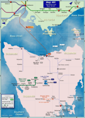
Tasmania Rail Map
Map of long-distance rail system from Melbourne to Tasmania
266 miles away
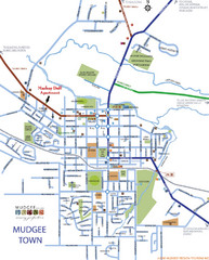
Mudgee Town Map
271 miles away
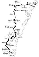
Family Histories in New South Wales Map
Treasure hunt a walker's comapnion's family hisotry around New South Wales. Experience...
280 miles away
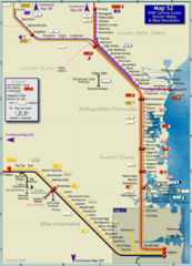
Hunter Valley Rail Map
Map of rail system throughout Hunter Valley, New South Wales Central Coast, and Blue Mountains
288 miles away
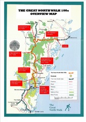
Great North Walk 100s Overview Map
Trail map for the Great North Walk 100's with distances and checkpoints marked
302 miles away

The Great North Walk Trail Map
The Great North Walk connects New South Wales’ two largest cities from the obelisk in...
303 miles away
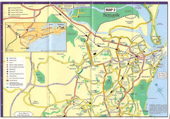
Newcastle Map
307 miles away
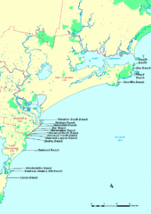
Hunter Ocean, Australia Beach Tourist Map
307 miles away
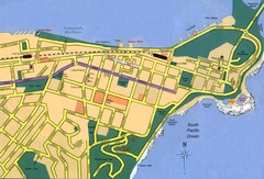
Newcastle City Map
City map of Newcastle
307 miles away
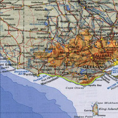
Great Ocean Road, Australia Tourist Road Map
A road map of Great Ocean Road in Southern Australia
317 miles away
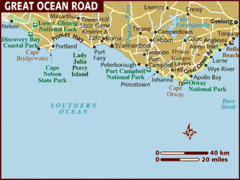
Great Ocean Road, Australia Tourist Map
A map of Great Ocean Road in Southern Australia
317 miles away
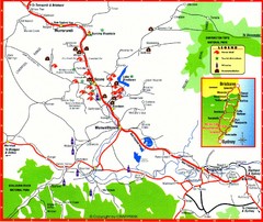
Upper Hunter Valley Tourist Map
Tourist map of Upper Hunter Valley around Muswellbrook, NSW, Australia. Shows horse studs, tourist...
319 miles away
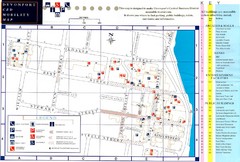
Downtown Devonport Mobility Map
Devonport City Map that is designed to assist disabled people navigate the Devonport central...
348 miles away
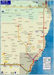
Northern New South Wales Map
Map of long-distance rail system throughout New South Wales and South East Queensland
379 miles away
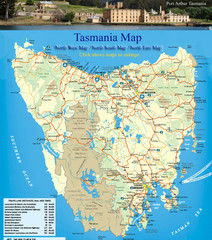
Tasmania Map
Detailed map of island of Tasmania, Australia. Shows National Parks. Scanned.
387 miles away
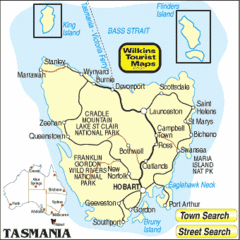
Tasmania Tourist Map
387 miles away
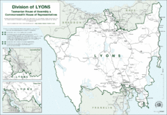
Lyons Political Divisions Map
408 miles away
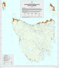
Tasmanian Soil Map
Distribution of Acid Sulphate Soils in Tasmania
414 miles away
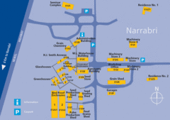
The University of Sydney, Narrabri Campus Map
427 miles away

Port Macquarie Map
430 miles away
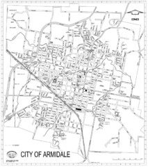
City Of Armidale Map
Large road map clearly marking streets throughout this wonderful city.
446 miles away

