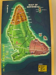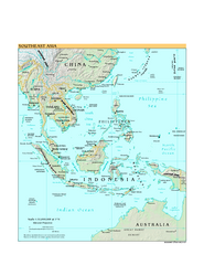
South Keeling islands Map
3602 miles away

Cocos Islands Map
3603 miles away
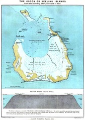
Cocos Islands Map
3603 miles away
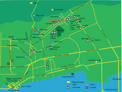
Cebu City Tourist Map
Tourist map of central Cebu City, Philippines. Shows sightseeing spots.
3603 miles away
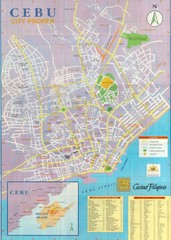
Cebu City Map
City map of Cebu with places of interest
3603 miles away
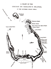
1840 Cocos (Keeling) Islands Map
1840 Guide to the Cocos (Keeling) Islands, a territory of Australia in the Indian Ocean
3604 miles away
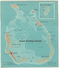
South Keeling (Cocos) Island Tourist Map
3604 miles away
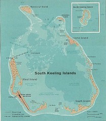
Cocos (Keeling) Islands Map
Guide to the Cocos (Keeling) Islands, a territory of Australia. They contain 2 atolls and 27 coral...
3604 miles away
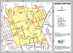
Kamputhaw Tourist Map
3604 miles away
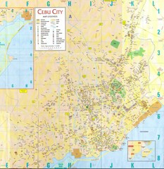
Cebu City Map
City map of Cebu City, Philippines area. Blurry but readable.
3605 miles away
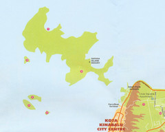
Tunku Abdul Rahman Marine Park Map
Map of the 5 islands of Tunku Abdul Rahman Marine Park in Kota Kinabalu
3605 miles away
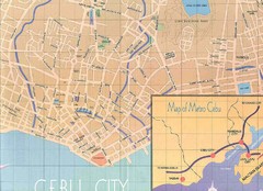
Cebu City Tourist Map
3606 miles away
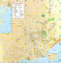
Cebu City Tourist Map
3606 miles away
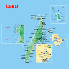
Cebu Tourist Map
3606 miles away
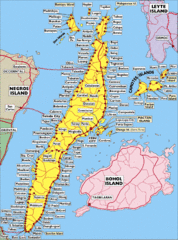
Cebu Island City Map
3606 miles away
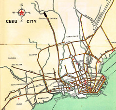
Cebu City Map
3606 miles away
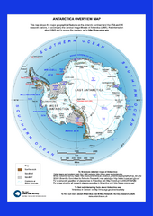
Antarctica Overview Map
Overview map of Antarctica shows geological features and US and UK research stations
3615 miles away

Ames Range Topo Map
Topo relief map of the Ames range in western Marie Byrd Land, Antarctica. Shows Mt. Andrus 9,770...
3616 miles away
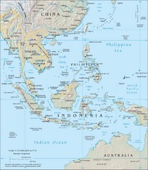
Southeast Asia Map
3617 miles away
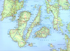
Visayas Islands Map
3628 miles away
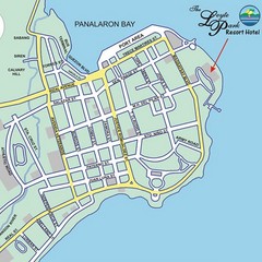
Tacloban CIty Map
This map clearly marks the road system of Tacloban.
3631 miles away
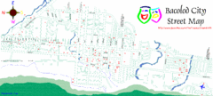
Bacolod City Map
City Map of Bacolod, Philippines
3654 miles away
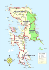
Samar Island Tourist Map
3667 miles away
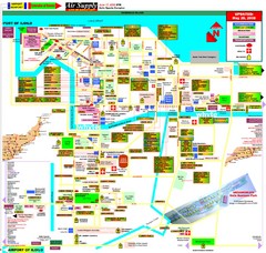
Iloilo City Map
City map of Iloilo, Phillippines. Shows businesses and points of interest.
3667 miles away
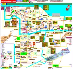
Iloilo City Map
Tourist Map of Iloilo
3668 miles away
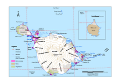
Heard Island and McDonald Islands Map
Map of Heard Island and McDonald Islands with place names, contours and the location of glaciers...
3673 miles away

Northern Mariana Islands Map
Guide to the Northern Mariana Islands, a commonwealth of the United States
3684 miles away
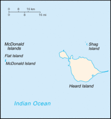
Heard Island and McDonald Islands Tourist Map
3691 miles away
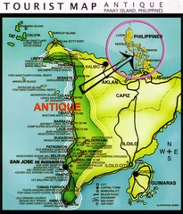
Antique Region Panay Island Map
Places of interest.
3706 miles away
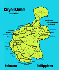
Cuyo Island Palawan Philippines Map
3722 miles away
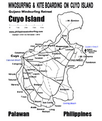
Cuyo Island Palawan Philippine Map
Cuyo is part of a group of 45 islets known as Quiniluban. It lies south of Mindoro and between...
3723 miles away
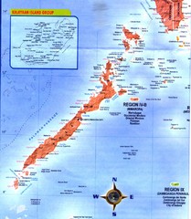
Palawan Islands Map
3724 miles away
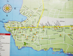
Puerto Princesa, Palawan Map
3731 miles away
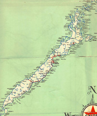
Palawan Island Road Map
3733 miles away
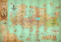
Mapa imaginario del Pais de HASARD Map
3736 miles away
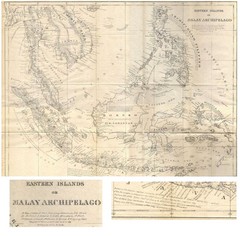
Eastern Islands Map
Antique map of the Eastern Islands or Malay Archipelago. Includes all islands, towns and detailed...
3744 miles away
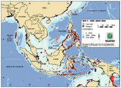
East Asian Sea Map
Map of the seas and oceans in East Asia. Includes color coded depths of the water and locations of...
3746 miles away

