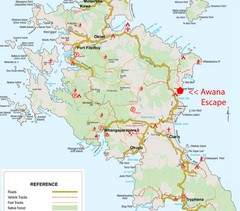
Great Barrier Island Map
1501 miles away
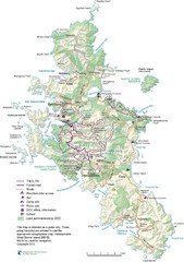
Great Barrier Island Map
1501 miles away
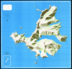
Campbell Island Map
1504 miles away
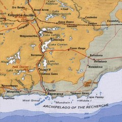
Esperance, Australia Tourist Map
A map of the Esperance region in Australia.
1506 miles away
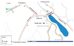
Whakamaru New Zealand Map
Map of Whakamaru, New Zealand showing a local hotel and restaurant.
1506 miles away
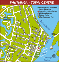
Whitianga Map
Street map of town center
1510 miles away
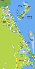
Waihi Beach Tourist Map
1519 miles away
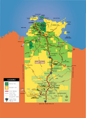
Northern Territory Map
Map of Northern Territory, Australia shows roads, national parks, and aboriginal lands.
1536 miles away
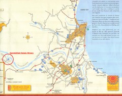
Hawkes Bay Wine Country Map
Tourist map of Hawkes Bay Wine Country near Hastings, New Zealand
1553 miles away
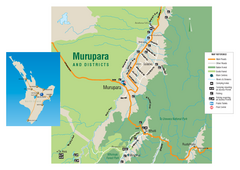
Murupara Map
Map of Murupara with detail of camping locations
1555 miles away
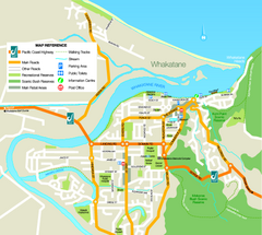
Whakatane Town Map
1572 miles away
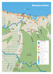
Whakatane District Map
Tourist map of Whakatane region
1573 miles away
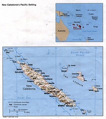
New Caledonia Islands Tourist Map
1575 miles away
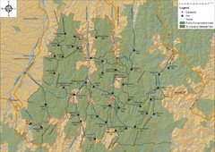
Northern Te Urewera National Park Map
Trail map of northern Te Urewera National Park. Shows trails, huts, and campsites.
1577 miles away
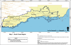
Australia South Coast Region Map
The South Coast region of Australia and proposed new boundaries by Natural Resources Management...
1635 miles away
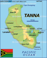
Tanna island Map
1727 miles away

Denmark, Western Australia East District Guide Map
The eastern district of Denmark, Western Australia
1740 miles away

Denmark, Western Australia Guide Map
Locations and areas in Denmark, Western Australia
1740 miles away
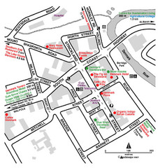
Denmark Western Australia Tourist Map
Tourist map of town of Denmark, Western Australia. Shows accommodations and restaurants.
1740 miles away

Western Australia State Barrier Fence Map
Map shows the Rabbit barrier fence built in 1901 in Burracoppin and Merredin just east of Perth.
1746 miles away

Bruce Rock Town Map
1753 miles away
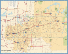
Wheatbelt Central Western Australia Map
Map of the central wheatbelt area near Merredin, Western Australia
1755 miles away
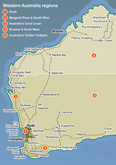
Western Australia Map
Map of Western Australia region with detail of districts
1758 miles away

Efate island Map
1780 miles away
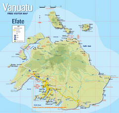
Vanuatu Tourist Map
Tourist guide to the island of Efate in Vanuatu
1782 miles away
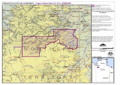
Gregory National Park and Northern Territory...
1787 miles away
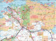
Katherine Region, Australia Map
1816 miles away
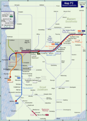
Western Australia Rail Map
Map of long-distance rail system throughout Western Australia
1817 miles away

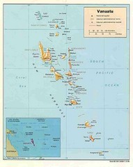
Vanuatu Map
1830 miles away
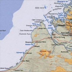
Central Western Australia Region Map
1841 miles away
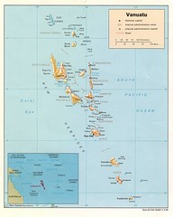
Vanuatu Islands Map
Map of Vanuatu region of islands
1844 miles away
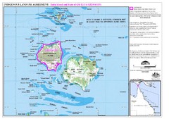
Badu Island Land Use Map
Land use agreement map on Badu Island in the Torres Strait.
1857 miles away
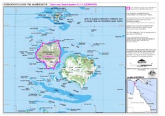
Badu Island and Moa Island Map
1858 miles away
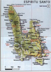
Espiritu Santo Island Map
Map of island
1858 miles away
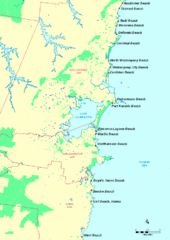
Illawarra, Australia Beach Tourist Map
1859 miles away
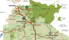
Katherine Australia Tourism Map
Partial map of the Northern Territory in Australia including Katherine, Darwin and Cape Crawford...
1864 miles away

