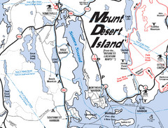
Mt. Desert Island Map
1746 miles away
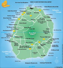
Nevis Tourist Map
Tourist map of Nevis Island, near St. Kitts. Shows inns, villages, and other points of interest.
1746 miles away
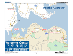
Acadia Approach Map
Maine Coast Welcome Center's local Map of the approach to Acadia, Me with recommended business...
1747 miles away
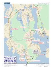
Southwest Harbor, Maine Map
Maine Coast Welcome Center's local Map of Southwest Harbor, Me with recommended business...
1747 miles away
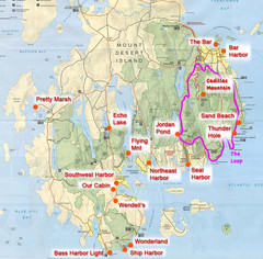
Mount Desert Island Tourist Map
Places of interest.
1747 miles away

Plymoth and enviorns Map
1747 miles away
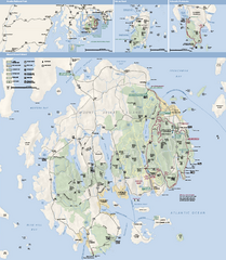
Acadia National Park Map
Official map of Acadia National Park, Maine. "Except for one mainland section, Acadia...
1747 miles away
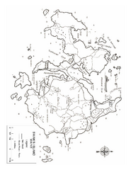
Swan's Island, ME Map
1749 miles away
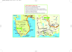
Basse-Terre Overview Map
Shows location of Hotel Le Jardin Malanga in southern Basse-Terre, Guadeloupe.
1750 miles away
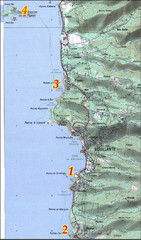
Bouillante West Coast Topo Map
Topo map of the west coast of island of Basse-Terre in the Guadeloupe Archipelago.
1752 miles away
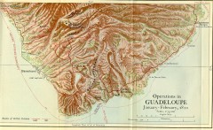
Guadeloupe British Military Operations 1810 Map
Map shows Guadeloupe British Military Operations by land and sea in 1810
1754 miles away
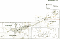
Bog River Map
1754 miles away
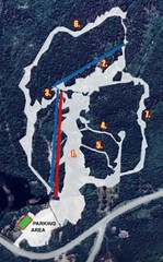
Sugarloaf Ski Hill Ski Trail Map
Trail map from Sugarloaf Ski Hill.
1758 miles away
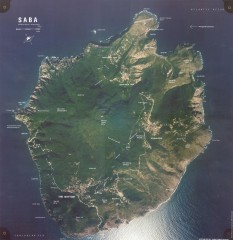
Saba aerial map
Aerial map of Saba. Shows major geological features and towns. Home of one of the world's...
1758 miles away
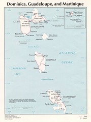
Dominica, Guadeloupe and Martinique Map
Overview map of Dominica, Guadeloupe, and Martinique islands.
1759 miles away
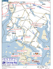
Blue Hill Peninsula, Maine, US Map
Maine Coast Welcome Center's local Map of the Blue Hill Peninsula, Me with recommended...
1760 miles away
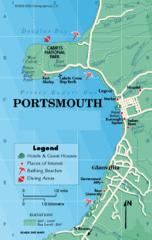
Portsmouth Dominica Map
1763 miles away
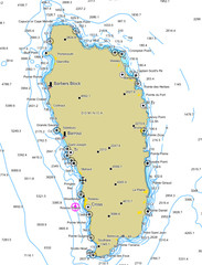
Dominica scuba sites Map
1764 miles away
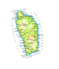
Dominica Map
1765 miles away

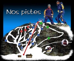
Mont Miller Ski Trail Map
Trail map from Mont Miller, which provides downhill skiing. This ski area has its own website.
1766 miles away
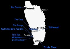
Dominica Nightlife Guide Map
1767 miles away
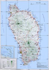
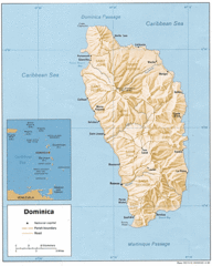
Dominica Map
Overview map of Dominica. Shows elevation.
1767 miles away

Map of Anegada
Map of Anegada island of the British Virgin Islands.
1770 miles away
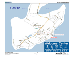
Castine, Maine, USA Map
Maine Coast Welcome Center's local Map of Castine, Me with recommended business locations.
1771 miles away
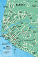
Roseau Dominica Map
1773 miles away
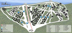
Ski Mont Miller Map
1773 miles away
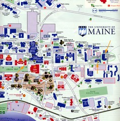
University of Maine Map
Campus map
1777 miles away
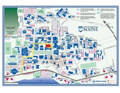
University of Maine Campus Map
1777 miles away
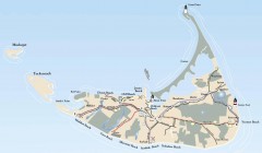
Tourist Map of Nantucket Island
Tourist map of Nantucket Island. Shows all towns and information.
1777 miles away
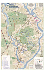
University of Maine Recreation Trails Map
Trails marked connecting two busy towns of Old Town and Orono.
1778 miles away
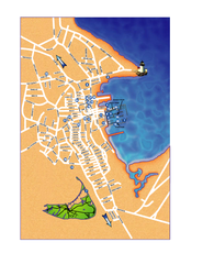
Nantucket Town Street Map
Tourist map of town of Nantucket on Nantucket Island. Shows major streets and points of interest...
1779 miles away
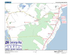
Lincolnville, Maine, USA Map
Maine Coast Welcome Center's local Map of Lincolnville, Me with recommended business locations.
1779 miles away
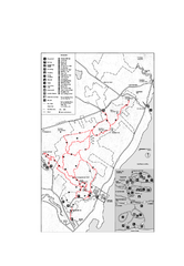
Camden Hills State Park map
Trail map for Camden Hills State Park in Vermont
1780 miles away
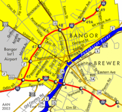
Bangor City Map
Airport, roads and interstates are on this map.
1780 miles away
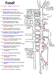
Rockland, Maine Restaurant Map
1780 miles away
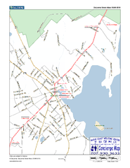
Camden, Maine, USA Map
Maine Coast Welcome Center's local Map of Camden, Me with recommended business locations.
1780 miles away
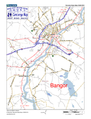
Bangor, Me, USA Map
Maine Coast Welcome Center's local Map of Bangor, Me with recommended business locations.
1780 miles away
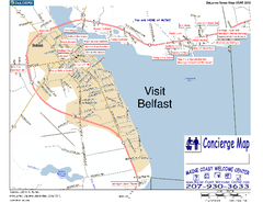
Belfast, Maine, USA Map
Maine Coast Welcome Center's local Map of Belfast, Me with recommended business locations. You...
1781 miles away

