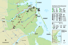
Kouchibouguac National Park Map
Official park map of Kouchibouguac National Park, New Brunswick. Shows hiking trails, services...
1669 miles away
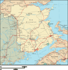
New Brunswick Map
Detailed New Brunswick Map
1692 miles away
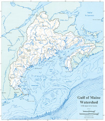
Gulf of Maine Watershed Map
Gulf of Maine watershed map without political boundaries showing major river basins. Shows entire...
1695 miles away
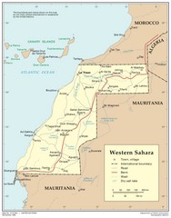
Western Sahara Map
Map of country with detail of towns and cities
1695 miles away
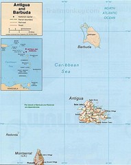
Antigua and Barbuda Map
Map of Antigua and Barbuda showing cities, roads and boundaries.
1699 miles away
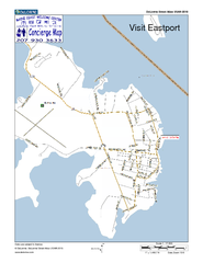
Eastport, Maine, USA Map
Maine Coast Welcome Center's local Map of Eastport, Me with recommended business locations.
1701 miles away
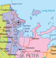
St. Peter and St. George provinces Map
1707 miles away
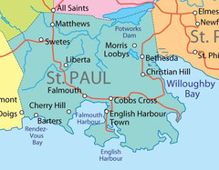
St. Paul province Map
1709 miles away
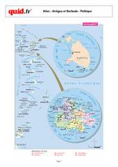
Antigua and Barbuda Regional Map
Map of island with detail of regional divides
1710 miles away
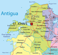
St. John province Map
1711 miles away
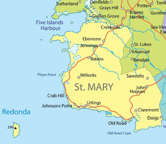
St Mary province Map
1713 miles away
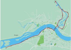
Fredericton Marathon Course Map 2007
Course map of the Fredericton, New Brunswick marathon May 2007
1716 miles away
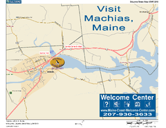
Machias, Maine, USA Map
Maine Coast Welcome Center's local Map of Machias, Me with recommended business locations.
1717 miles away
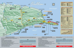
Forillon National Park Map
Official map of Forillon National Park at the tip of the Gaspe Peninsula in Quebec, Canada. Shows...
1720 miles away
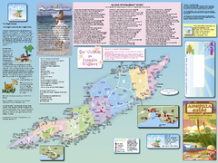
Anguilla Map
Tourist map of Anguilla Island. Shows all restaurants.
1724 miles away
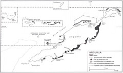
Anguilla Coral Reefs Map
Coral reef map of Anguilla Island.
1724 miles away
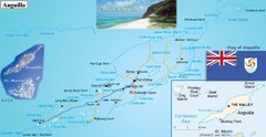
Anguilla Map
1724 miles away
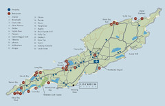
Anguilla Map
1724 miles away
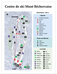
Mont Bechervaise Ski Trail Map
Trail map from Mont Bechervaise, which provides downhill skiing. This ski area has its own website.
1725 miles away
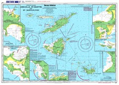
Anguilla St. Martin St. Barthelemy Nautical Map
Nautical map of Anguilla St. Martin St. Barthelemy. Shows insets of major ports.
1725 miles away

St. Barthelemy Map
1726 miles away
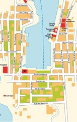
Gustavia Map
1727 miles away
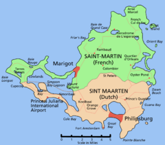
Saint Martin Map
Overview map shows entire island of Saint Martin (French) or Sint Maarten (Dutch).
1730 miles away

Leeward Islands Map
Guide to the Leeward Islands of the Caribbean, such as Saint Barthelemey, Saint Martin, Anguilla...
1731 miles away
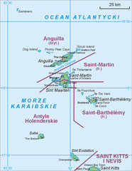
Saint Martin Map
1732 miles away
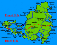
St. Maarten Beach Tourist Map
1733 miles away
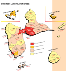
Guadeloupe Population Density Map
Population density of Guadeloupe Islands. A prefecture of France. Data as of 8/12/2003
1734 miles away
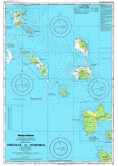
Leeward Islands Nautical Map
Nautical chart of the Leeward Islands in the Caribbean
1734 miles away
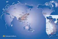
Vietnam Airlines Map
Vietnam Airlines worldwide coverage map
1736 miles away
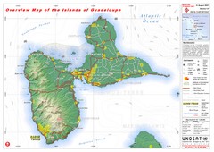
Guadeloupe Overview Map
Overview physical map of Basse-Terre and Grande-Terre Islands in the French Guadeloupe archipelago...
1737 miles away
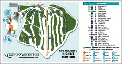
Crabbe Mountain Ski Trail Map
Official ski trail map of Crabbe Mountain ski area. 853 ft vertical, highest in New Brunswick
1739 miles away
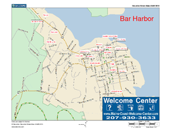
Bar Harbor, Maine, Us Map
Maine Coast Welcome Center's local Map of Bar Harbor, Me with recommended business locations.
1744 miles away
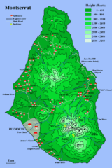
Montserrat Map
1744 miles away
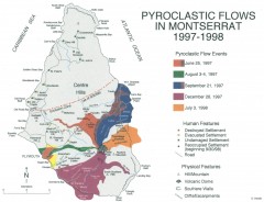
Pyroclastic flows in Montserrat 1997-1998 Map
Shows pyroclastic flows and destroyed settlements in 1997-1998.
1745 miles away
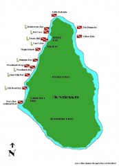
Montserrat Diving map
Diving map of Montserrat in the Caribbean. Shows all diving spots.
1745 miles away

Montserrat lava flows Map
1745 miles away

St. Kitts and Nevis Map
1745 miles away
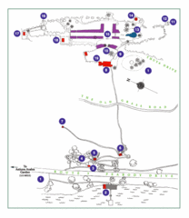
Thuya Garden Map
1. Parking 2. Asticou Terraces Landing 3. Joseph H. Curtis Memorial 4. Stone Lookout 5. Second...
1745 miles away
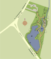
Asticou Azalea Garden Map
1. Parking Area 2. Main Gate 3. Moss Corridor 4. Service Area 5. Heath Garden 6. Sand Garden...
1745 miles away

St. Kitts and Nevis dive sites Map
1746 miles away

