
Sal Map
1503 miles away
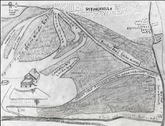
Pine Tree Ski Trail Map
Trail map from Pine Tree.
1504 miles away
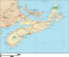
Nova Scotia Map
Detailed Nova Scotia Map
1512 miles away
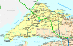
Nova Scotia Tourist Map
1523 miles away
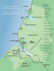
Gros Morne National Park Map
Shows campgrounds and trails in Gros Morne National Park, Newfoundland, Canada. In French and...
1526 miles away
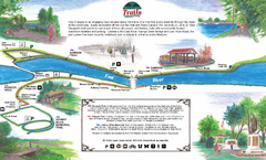
New Glasglow Town Trail Map
Walking trail map of trails in New Glasglow, Nova Scotia. Shows 3 trails: Samson Trail, Pioneer...
1531 miles away
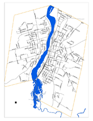
New Glasglow Street Map
Street map of town of New Glasglow, Nova Scotia
1531 miles away
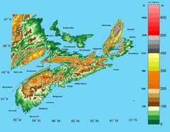
Nova Scotia Elevation Map
Nova Scotia Elevation Map with color elevation markings
1538 miles away

Fogo Map
1539 miles away
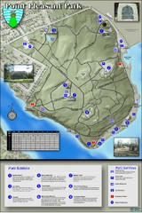
Point Pleasant Park Map
Thematic Map of Point Pleasant Park with park exhibits marked. Trails and distances marked as well.
1540 miles away

Halifax Nova Scotia Map 1894
Anitque map of Halifax, Nova Scotia from The Dominion of Canada, with Newfoundland and an Excursion...
1541 miles away
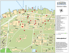
Halifax Tourist Map
Tourist map of downtown Halifax, Nova Scotia, Canada. Shows waterfront walking trail and points of...
1541 miles away
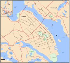
Halifax Dartmouth Map
Guide to the Halifax and Dartmouth Region
1541 miles away
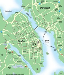
Halifax Area Map
Streets, roads and points of interest are all clearly marked on this map.
1541 miles away

Cape Verde, Africa Island Map
1547 miles away
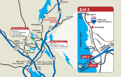
Fall River, Nova Scotia Tourist Map
Cities and locations around Fall River
1548 miles away
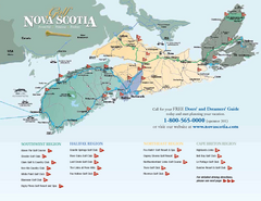
Nova Scotia Golf Map
Golf map of province of Nova Scotia, Canada. Shows 21 golf courses.
1551 miles away
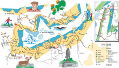
St. Anthony Tourist Map
Tourist map of town of St. Anthony, Newfoundland, Canada. Shows points of interest.
1556 miles away
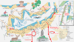
St. Anthony Canada City Map
Hiking trails drawn on the city map of St. Anthony. Map also shows motels, parks, shopping and...
1556 miles away

Santiago Map
1558 miles away
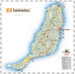
Fuerteventura Island Map
1568 miles away
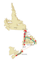
Newfoundland Map
1570 miles away
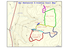
Ski Wentworth Nordic Ski Trail Map
Trail map from Ski Wentworth, which provides downhill and nordic skiing. This ski area has its own...
1571 miles away
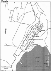
Praia City Map
City map of central Praia, Cape Verde Islands
1574 miles away

Maio Map
1575 miles away
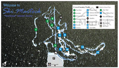
Ski Martock Nordic Ski Trail Map
Trail map from Ski Martock, which provides downhill and nordic skiing. This ski area has its own...
1576 miles away
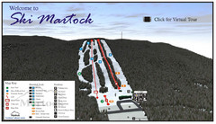
Ski Martock Ski Trail Map
Trail map from Ski Martock, which provides downhill and nordic skiing. This ski area has its own...
1576 miles away
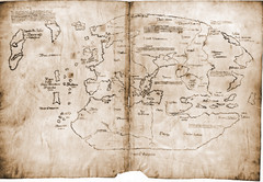
15th Century Vinland Map
Based on 13th century original, the controversial Vinland Map is possibly the first depiction of...
1580 miles away

Puerto Del Carmen - Street map
1581 miles away
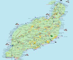
Lanzarote Tourist Map
Tourist map of Lanzarote, Canary Islands, Spain.
1582 miles away
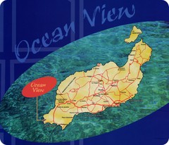
Lanzarote Map
Island road map of Lanzarote
1583 miles away
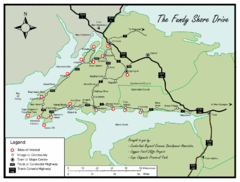
Bay of Fundy Tourist Map
Shows sites of interest along Fundy Shore driving route in Nova Scotia
1583 miles away
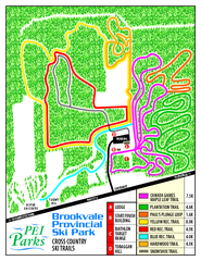
Brookvale Provincial Park Nordic Ski Trail Map
Trail map from Brookvale Provincial Park, which provides downhill and nordic skiing. This ski area...
1587 miles away
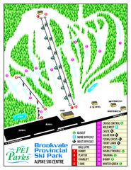
Brookvale Provincial Park Ski Trail Map
Trail map from Brookvale Provincial Park, which provides downhill and nordic skiing. This ski area...
1587 miles away
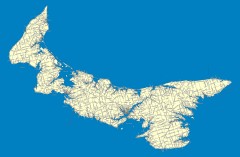
Prince Edward Island Road map
Road map of Prince Edward Island
1591 miles away
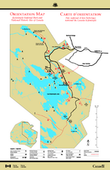
Kejimkujik National Park Map
Official Parks Canada map of Kejimkujik National Park, Nova Scotia. Shows lakes, trails, campsites...
1607 miles away
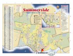
Summerside Tourist Map
Tourist map of Summerside, Prince Edward Island. Shows street index, mural tour, attractions, and...
1607 miles away
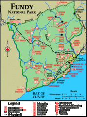
Fundy National Park Map
Official Parks Canada park map of Fundy National Park, New Brunswick. Shows trails, camping spots...
1635 miles away
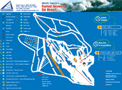
Poley Mountain Ski Trail Map
Trail map from Poley Mountain, which provides downhill skiing. This ski area has its own website.
1651 miles away
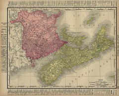
Nova Scotia Map 1896
Nova Scotia and New Brunswick map, 1896
1653 miles away

