North Mohawk Mountain State Forest (Summer Trails...
Summer trail map of the North section of Mohawk Mountain State Forest in Connecticut.
1948 miles away
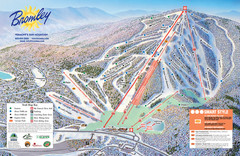
Bromley Mountain Ski Trail Map
Trail map from Bromley Mountain.
1948 miles away
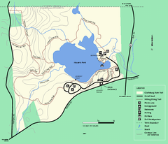
Clarksburg State Park trail map
Trail map of Clarksburg State Park in Massachusetts.
1948 miles away
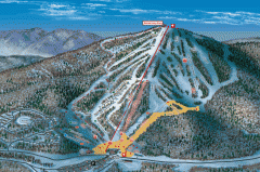
Bromley Mountain Ski Area map 2006-07
Simple ski trail map of Bromley Mountain Ski Area for the 2006-2007 season.
1948 miles away
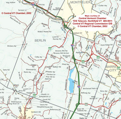
Berlin, Vermont Guide Map
1949 miles away
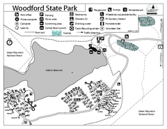
Woodford State Park Campground Map
Campground map for Woodford State Park in Vermont
1949 miles away

Killington Ski Trail Map
Guide to Killington area ski trails
1949 miles away
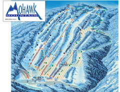
Mohawk Mountain Ski Trail Map
Ski trail map of Mohawk Mountain ski area
1949 miles away
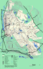
October Mountain State Forest trail map
Trail map of October Mountain State Forest in Massachusetts.
1949 miles away
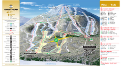
Owl’s Head Ski Trail Map
Trail map from Owl’s Head, which provides downhill skiing. This ski area has its own website.
1949 miles away
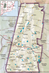
Berkshires Map
Overview map of the Berkshires region of Western Massachusetts
1950 miles away
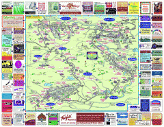
North County Berkshires map
Tourist map of North County - Pittsfield, N. Adams, Adams, Lanesboro, Cheshire, Williamstown...
1950 miles away
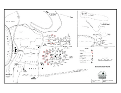
Elmore State Park map
Campground map of Elmore State Park in Vermont
1950 miles away
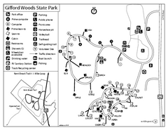
Gifford Woods State Park Campground Map
Campground map of Gifford Woods State Park in Vermont
1950 miles away
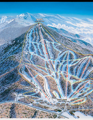
Pico Mountain Ski Trail Map
Trail map from Pico Mountain.
1950 miles away
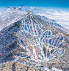
Pico Mountain Ski Trail Map
Ski trail map of Pico ski area, estimated 2002 map
1951 miles away
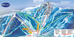
Mont Orford Ski Trail Map
Trail map from Mont Orford, which provides downhill and nordic skiing. This ski area has its own...
1951 miles away
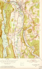
New Milford, Connecticut Map
New Milford, Connecticut topo map with roads, streets and buildings identified
1951 miles away
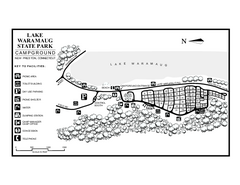
Lake Waramaug State Park campground map
Campground map of Lake Waramaug State Park.
1951 miles away
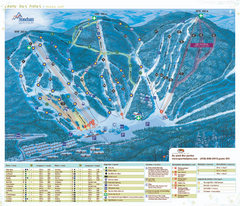
Stoneham Ski Resort Ski Trail Map
Trail map from Stoneham Ski Resort, which provides downhill skiing. This ski area has its own...
1951 miles away
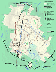
Beartown State Park Summer Map
Summer Map of Beartown State Park in Massachusetts.
1951 miles away
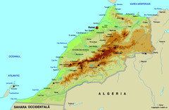
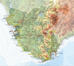
Morocco physical Map
1951 miles away
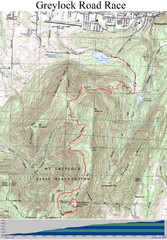
Mt. Greylock Road Race Course Map
Course map of the annual Mount Greylock Road Race. 8 Miles (uphill). Start/Finish: Mt. Williams...
1952 miles away
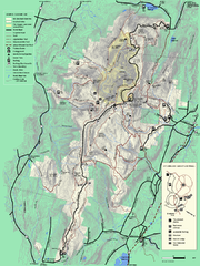
Mt. Greylock State Reservation summer trail map
Summer trail map of the Mt. Greylock State Park area in Massachusetts.
1952 miles away
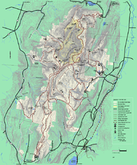
Mt. Greylock State Reservation winter trail map
Winter use trail map of Mt. Greylock State Park in Massachusetts.
1952 miles away
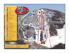
Mont Gleason Ski Trail Map
Trail map from Mont Gleason, which provides downhill skiing. This ski area has its own website.
1952 miles away
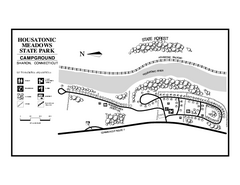
Housatonic State Forest campground map
Campground map of Housatonic State Forest in Connecticut.
1952 miles away
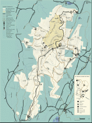
Mt. Greylock State Reservation map
Official summer map of the Mount Greylock State Reservation. At 3,491 feet, Mount Greylock is the...
1952 miles away
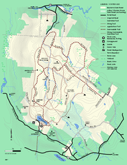
Beartown State Park Winter Map
Winter use map of Beartown State Park in Massachusetts
1952 miles away
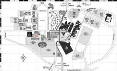
Nassau Community College Map
Campus Map
1952 miles away
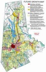
Danbury Regional Growth Map
Guide to future growth of Danbury, CT and surrounds
1952 miles away
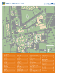
Hofstra University Campus Map
1952 miles away
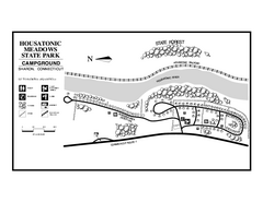
Housatonic Meadows State Park campground map
Campground map for Housatonic Meadows State Park in Connecticut.
1952 miles away

St. Georges Map
1953 miles away
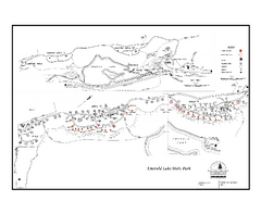
Emerald Lake State Park Campground Map
Campground map of Emerald Lake State Park in Vermont
1953 miles away
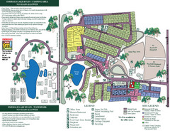
Emerald Lake State Park Map
1953 miles away
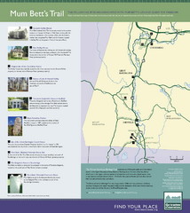
Mum Bett's Trail Map
Historic African American trail guide
1953 miles away
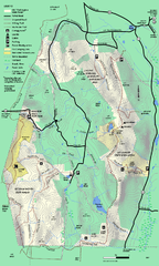
Mt. Washington State Forest trail map
Trail map of Mt. Washington State Forest
1953 miles away
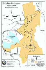
Seth Low Pierrepont State Park Reserve map
Trail map of Seth Low Pierreport State Park in Connecticut.
1953 miles away

