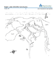
Eagle Lake Conservation Area Map
1884 miles away
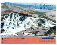
Temple Mountain Last year open—Credited to...
Trail map from Temple Mountain. This ski area opened in 1937.
1884 miles away
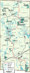
Midstate Trail Map
Map of the Midstate Trail, which runs from Ashburnham to the Rhode Island border. Shows state...
1884 miles away
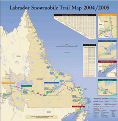
Labrador Snowmobiling Trail Map
Trail map of Labrador, Canada with inset maps of specific trail areas.
1885 miles away
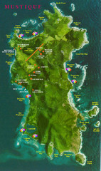
Mustique Island Map
Tourist map of private island of Mustique. Shows tourist points of interest
1885 miles away
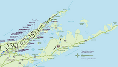
Long Island Wineries Map
Map of LIWC member wineries offering wine tastings to the public.
1886 miles away
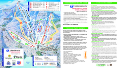
Wachusett Mountain Ski Trail Map
Trail map from Wachusett Mountain.
1886 miles away
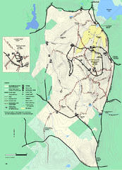
Wachusett Mountain State Reservation trail map
Trail map of Wachusett Mountain State Reservation in Massachusetts.
1886 miles away
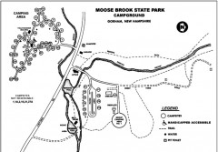
Moose Brook State Park map
Campground map of Moose Brook State Park in New Hampshire.
1886 miles away
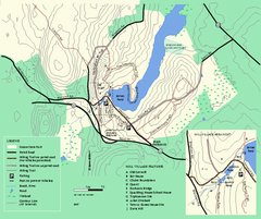
Moore State Park trail map
Trail map of Moore State Park in Massachusetts.
1886 miles away
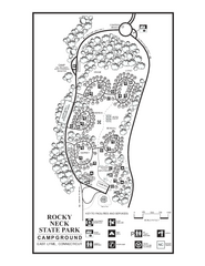
Rocky Neck State Park campground map
Campground map of Rocky Neck State Park in Connecticut.
1888 miles away
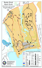
Rocky Neck State Park trail map
Trail map of Rocky Neck State Park in Connecticut.
1888 miles away
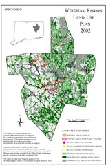
2002 Windham Region Land Use Map
Regional Land Use Guide Map for Planning Purposes
1889 miles away
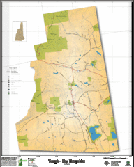
Temple NH Topo Map
Topographical map of Temple, NH area. Shows all roads and points of interest.
1889 miles away
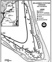
Mollidgewock State Park map
Campground map of Mollidgewock State Park in New Hampshire.
1889 miles away
Mt. Watatic to Wachusett Mountain, Massachusetts...
1889 miles away
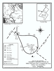
Milan Hill State Park Campground map
Campground map for Milan Hill State Park in New Hampshire.
1889 miles away
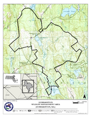
Hubbardston WMA Map
1890 miles away
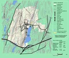
Wells State Park trail map
Trail map of Wells State Park in Massachusetts.
1890 miles away
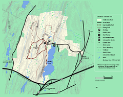
Wells State Park winter trail map
Winter use trail map of Wells State Park in Massachusetts.
1890 miles away
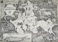
Shelter Island Map
Old Shelter Island map circa 1930s
1890 miles away
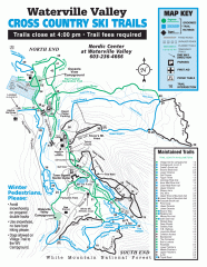
Waterville Valley Nordic Trail Map
Official nordic trail map. Over 70 kilometers (40 + miles) of groomed trails.
1891 miles away
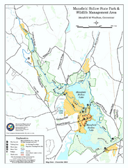
Mansfield Hollow State Park map
Map for Mansfield Hollow State Park and Wildlife Management Area in Connecticut.
1891 miles away
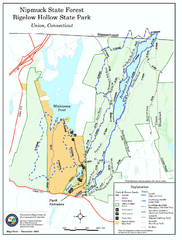
Nipmuck State Forest trail map
Trail map of Nipmuck State Forest and Bigelow Hollow State Park in Connecticut.
1891 miles away
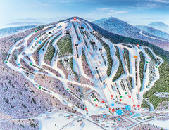
Pats Peak Ski Map
ski trail map of pats peak ski area
1891 miles away
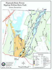
Bigelow Hollow State Park trail map
Trail map of Bigelow Hollow State Park in Connecticut.
1892 miles away
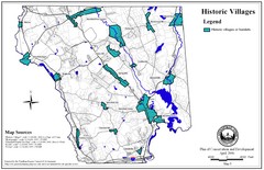
Historic Villages of Mansfield, Connecticut Map
Historical villages outlined on the map of the existing city.
1892 miles away
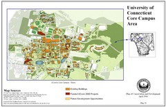
University of Connecticut Campus Map
Map shows current, funded projects and future development for UConn.
1892 miles away
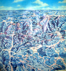
White Mountains New Hampshire Map
Old bird's eye view map of the White Mountain region of New Hampshire by Frank Thomas. Date of...
1892 miles away
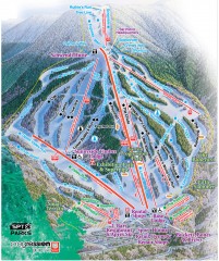
Waterville Valley Ski Trail Map
Official ski trail map of Waterville Valley ski area
1893 miles away
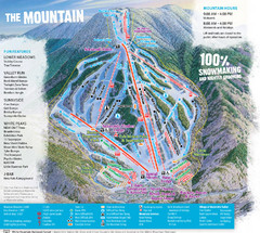
Waterville Valley Ski Trail Map
Trail map from Waterville Valley.
1893 miles away

Mansfield Cemetery Map
1893 miles away
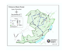
Nehantic State Forest map
Trail map of Nehantic State Forest in Connecticut.
1893 miles away
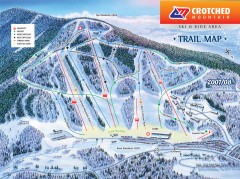
Crotched Mountain Ski Trail Map
Official ski trail map of Crotched Mountain ski area from the 2007-2008 season.
1893 miles away
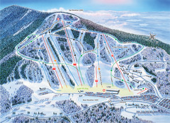
Crotched Mountain Ski Trail Map
Trail map from Crotched Mountain.
1893 miles away
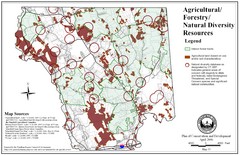
Mansfield Conservation and Development Map
Guide to Agricultural, Forestry and Natural Diversity Resources
1893 miles away
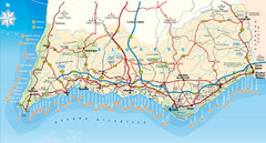
Algarve, Portugal Tourist Map
1895 miles away
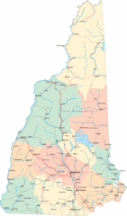
New Hampshire Road Map
Road map of New Hampshire
1895 miles away
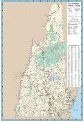
New Hampshire Boating and Fishing Public Access...
Shows public access boating and fishing sites and depth maps for state of New Hampshire
1895 miles away


