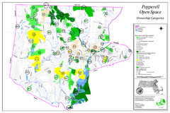
Pepperell Conservation Land and Open Spaces Map
Map showing conservation land and open spaces in Pepperell, MA.
1873 miles away
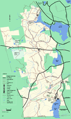
Douglas State Forest trail map
Trail map of the Douglas State Forest in Massachusetts
1874 miles away
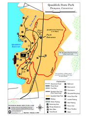
Quaddick State Park Trail Map
1875 miles away
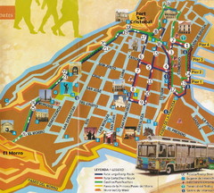
Old Town San Juan and El Morro Map
1875 miles away
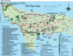
Old San Juan Tourist Map
City tourist map
1875 miles away
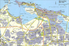
San Juan City Map
City Map of San Juan with information
1875 miles away
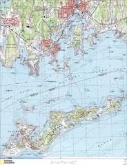
Fishers Island Map
In Long Island Sound
1875 miles away
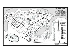
Hopeville Pond campground map
Campground map of Hopeville Pond State Park in Connecticut.
1876 miles away
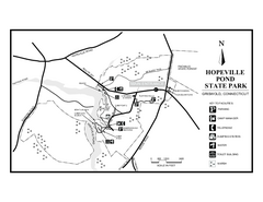
Hopeville Pond State Park trail map
Trail map for Hopevill Pond State Park in Connecticut
1876 miles away
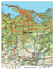
San Juan Road Map
Road map of San Juan, Puerto Rico area. Shows shaded elevation.
1877 miles away
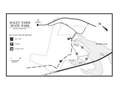
Haley Farm State Park map
Trail map of Haley Farm State Park in Connecticut.
1877 miles away
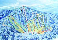
Gunstock Ski Trail Map
Ski trail map of Gunstock Mountain ski area
1877 miles away
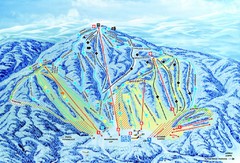
Gunstock Ski Area Ski Trail Map
Trail map from Gunstock Ski Area.
1877 miles away

Mine Brook Wildlife Management Area Map
1877 miles away
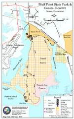
Bluff Point State Park map
Trail map for Bluff Point State Park and Coastal Reserve.
1878 miles away

Eastern Long Island Placemat map
Photo of a placemat map from Gosman's Dock Restaurant in Montauk, NY. Shows eastern Long...
1878 miles away
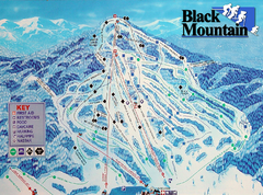
Black Mountain Ski Trail Map
Trail map from Black Mountain.
1879 miles away
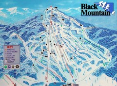
Black Mountain Ski Trail Map
Ski trail map of Black Mountain ski area
1879 miles away
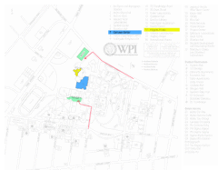
Worcester Polytechnic Institute Campus Map
Map of Worcester Polytechnic Institute. Includes all buildings, parking, streets, and location of...
1879 miles away
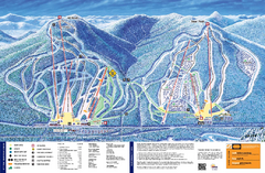
Attitash Ski Trail Map
Trail map from Attitash, which provides downhill skiing.
1880 miles away
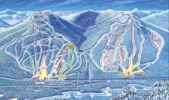
Attitash Bear Peak Ski Trail Map
Official ski trail map of Attitash and Bear Peak ski area from the 2006-2007 season.
1880 miles away
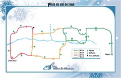
Mont Saint-Mathieu Ski Trail Map
Trail map from Mont Saint-Mathieu, which provides downhill and nordic skiing. This ski area has its...
1880 miles away
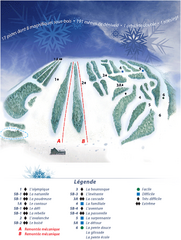
Mont Saint-Mathieu Ski Trail Map
Trail map from Mont Saint-Mathieu, which provides downhill and nordic skiing. This ski area has its...
1880 miles away
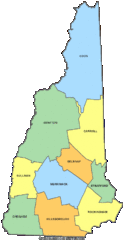
New Hampshire Counties Map
1881 miles away
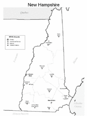
New Hampshire Airports Map
1881 miles away
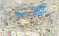
St. Paul's School Campus Map
Campus map of St. Paul's School
1881 miles away
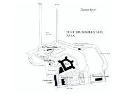
Fort Trumbull State Park map
Map of Fort Trumbull State Park in Connecticut.
1881 miles away
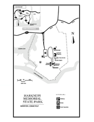
Harkness Memorial State Park map
Trail map of Harkness Memorial State Park in Connecticut.
1882 miles away
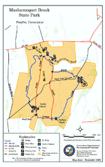
Mashamoquet Brook State Park trail map
Trail map of Mashamoquet Brook State Park in Connecticut.
1882 miles away
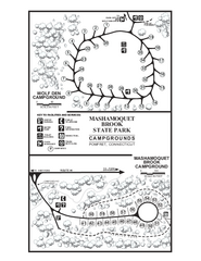
Mashamoquet Brook State Park campground map
Campground map of Mashamoquet Brook State Park in Connecticut.
1882 miles away
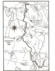
Monoosnoc Trail Map
1882 miles away
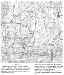
Trout Brook Conservation Area Map
1882 miles away

Mont Ti-Basse Ski Trail Map
Trail map from Mont Ti-Basse.
1882 miles away
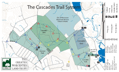
Cascades Park Map
1882 miles away
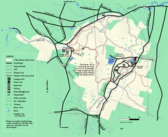
Willard Brook State Forest trail map
Trail map of Willard Brook State Forest in Massachusetts.
1882 miles away
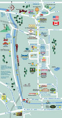
Mt. Washington Valley Restaurant Guide Map
Restaurants in Mt. Washington Valley, New Hampshire
1883 miles away
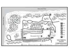
Salt Rock State Park campground map
Campground Map of Salt Rock State Campground in Connecticut.
1883 miles away
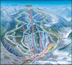
Wildcat Ski trail Map
Official ski trail map of Wildcat ski area
1883 miles away
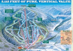
Wildcat Mountain Ski Trail Map
Trail map from Wildcat Mountain.
1883 miles away
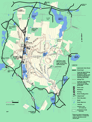
Leominster State Forest trail map
Trail map of Leominster State Forest in Massachusetts
1884 miles away

