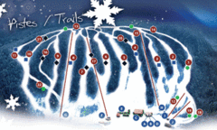
Mont Farlagne Ski Trail Map
Trail map from Mont Farlagne, which provides downhill skiing. This ski area has its own website.
1832 miles away
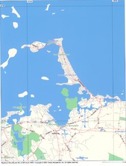
Hull Town Map
1832 miles away
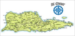
St. Croix Island Map
Overview map of island of St. Croix, US Virgin Islands. Shows districts, roads, and towns.
1832 miles away
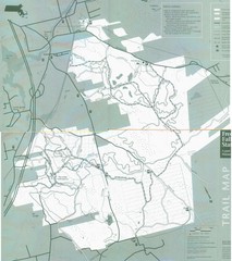
Freetown State Forest Map
Freetown State Forest Map showing mountain biking trails
1833 miles away
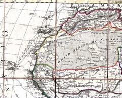
North and West Africa, 1829 Map
North and West Africa from “Carte Generale de L’Afrique” by Eustache Herisson...
1833 miles away
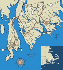
Southeastern New England Wine Trail Map
Map of the Southeastern New England Wine Trail, showing all vineyards and wineries that are members...
1833 miles away
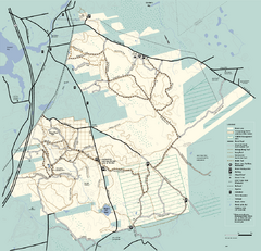
Freetown-Fall River State Forest trail map
Trail map of Freetown-Fall River State Forest in Massachusetts
1834 miles away
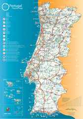
Tourist map of Portugal
Large high quality tourist map of Portugal
1834 miles away
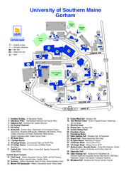
University of Southern Maine - Gorham Map
1835 miles away
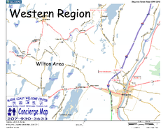
Western Maine, USA Map
Maine Coast Welcome Center's local Map of Western Maine with recommended business locations.
1835 miles away
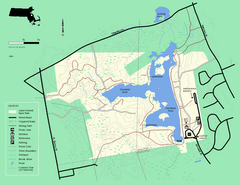
Ames Nowell State Park Map
Simple map of this beautiful state park. Visit and hike, bike, and shop!
1835 miles away
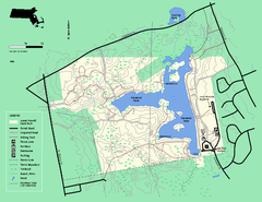
Ames Nowell State Park Map
Trail map of Ames Nowell State Park in Massachusetts
1835 miles away
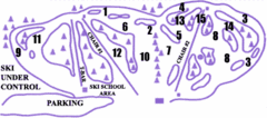
Lost Valley Ski Area Ski Trail Map
Trail map from Lost Valley Ski Area.
1836 miles away
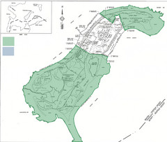
Thompson Island Easement Map
Map of Thompson Island easement. Includes roads, buildings, trails and attractions as well as the...
1836 miles away
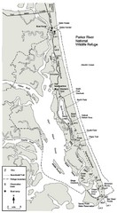
Parker River Map
Map of Parker River National Wildlife Refuge for birdlife
1837 miles away
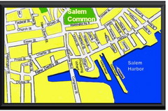
Salem, Massachusetts Guide Map
1837 miles away
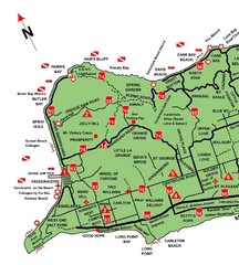
West St. Croix Map
1838 miles away
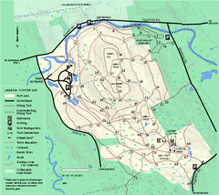
Bradley Palmer State Park winter map
Winter trail map of Bradley Palmer State Park.
1839 miles away
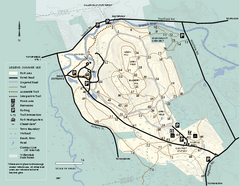
Bradley Palmer State Park summer map
Summer use map of Bradley Palmer State Park in Massachusetts
1839 miles away
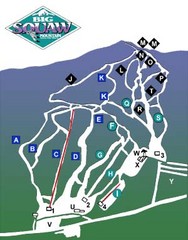
Big Squaw Ski Trail Map
Trail map from Big Squaw, which provides downhill skiing. It has 2 lifts; the longest run is 2253...
1839 miles away
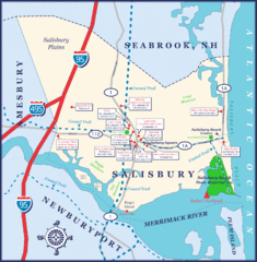
Salisbury Town Map
1839 miles away
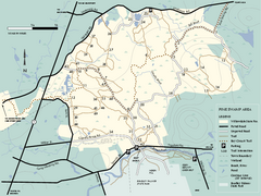
Willowdale State Forest map of Pine Swamp
Trail map of the Pine Swamp area of Willowdale State Park in Massachusetts.
1839 miles away
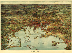
Walker's Map of Boston Harbor and Environs...
Walker's map of Boston Harbor and immediate environs from 1905.
1840 miles away
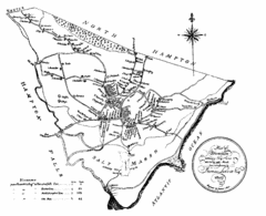
Hampton NH Map 1806
1806 map of Hampton, NH. Shows roads and settlements.
1840 miles away
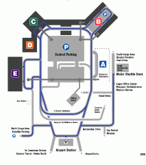
Boston/General Edward Lawrence Logan...
Terminal map of Boston/General Edward Lawrence Logan International Airport. Shows all areas.
1840 miles away
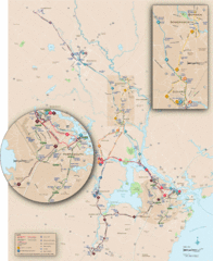
New Hampshire Transit Map
Guide to COAST and Wildcat Transit lines in New Hampshire
1841 miles away
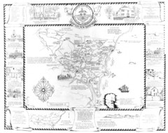
Hampton, New Hampshire Historical Map
Historical map of Hampton, New Hampshire. Illustrated map includes roads and historical buildings.
1841 miles away
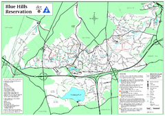
Blue Hills Reservation Trail Map
Trail map of the Blue Hills Reservation in Massachusetts
1841 miles away
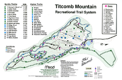
Titcomb Mountain Ski Trail Map
Trail map from Titcomb Mountain.
1841 miles away
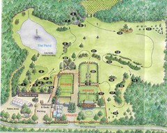
Newbury Perrenial Gardens Guide Map
1841 miles away
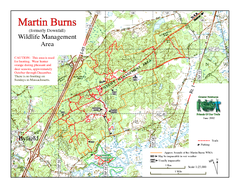
Downfall/Martin Burns WMA Map
1841 miles away
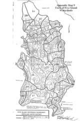
Frye Island Watershed Boundary Map
1842 miles away
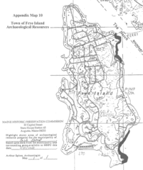
Frye Island Archaeological Map
1842 miles away
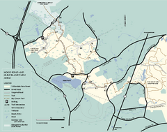
Willowdale State Forest map of Hood Pond
Trail map of the Hood Pond area of the Willowdale State Park in Massachusetts.
1842 miles away
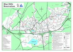
Blue Hills State Park Map
Clearly marked state park map of this beautiful state park.
1842 miles away
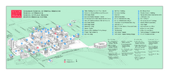
Boston University Medical Campus and Boston...
Boston University Medical Campus and Boston Medical Center area map. All buildings shown.
1842 miles away
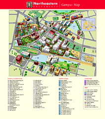
Northeastern University Map
Northeastern University Campus Map. All areas shown.
1842 miles away
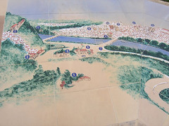
Coimbra Map
This is a map of Coimbra, Portugal done on painted tile
1842 miles away
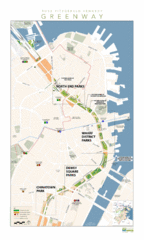
Rose Fitzgerald Kennedy Greenway Map
Boston's extensive heritage of parklands and common ground includes the Emerald Necklace...
1842 miles away

