West Indies Guide Map
A map of the West Indies Islands
1816 miles away
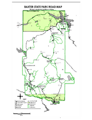
Baxter State Park overview map
Overview map of Baxter State Park. There are 46 mountain peaks and ridges, 18 of which exceed an...
1817 miles away
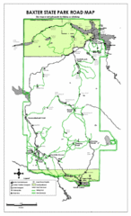
Baxter State Park Road Map
1817 miles away
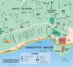
Charlotte Amalie U.S. Virgin Islands Map
1817 miles away
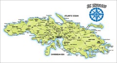
St. Thomas Island Map
Overview road map of island of St. Thomas in the U.S. Virgin Islands. Shows major roads, districts...
1818 miles away
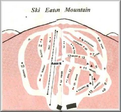
Eaton Mountain Ski Area Ski Trail Map
Trail map from Eaton Mountain Ski Area.
1818 miles away
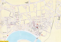
Portimao, Portugal Tourist Map
1818 miles away
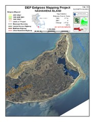
Nashawena Island Eelgrass Map
1819 miles away
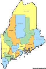
Maine Counties Map
1821 miles away
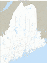
Maine Zip Code Map
Check out this Zip code map and every other state and county zip code map zipcodeguy.com.
1821 miles away
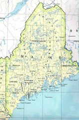
Maine Tourist Map
1821 miles away
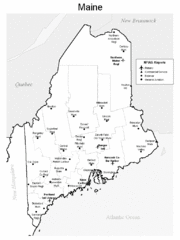
Maine Airports Map
1821 miles away
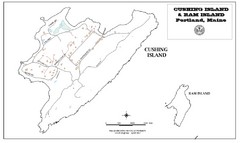
Cushing Island Map
Also shows Ram Island
1822 miles away
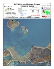
Penekese Island Eelgrass Map
1822 miles away
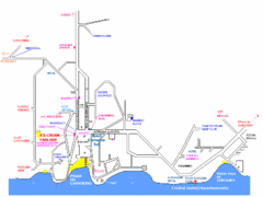
Carvoeiro Tourist Map
1823 miles away
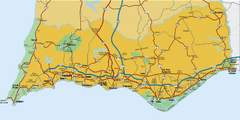
Praia da Luz, Portugal Map
1823 miles away
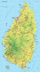
St. Lucia Island Map
High quality road and physical map of island of St. Lucia. Elevations are color-coded.
1823 miles away
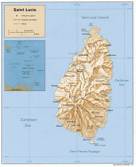
Map of Saint Lucia
Map of Saint Lucia in the Carribbean.
1823 miles away
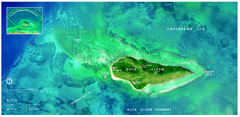
Buck Island Reef National Monument Map
Official NPS park map of Buck Island Reef National Monument off island of St. Croix in the US...
1824 miles away
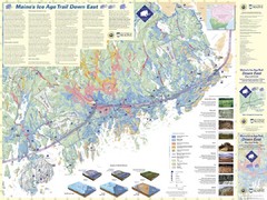
Maine's Ice Age Trail Map
1824 miles away
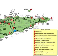
East St. Croix Map
1824 miles away
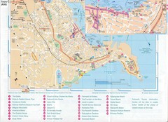
Falmouth Map
Map of Falmouth town and bay. Includes roads, parks, accommodations and attractions.
1825 miles away
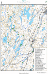
Kennebec Land Trust Map
Map of properties of the Kennebec Land Trust in Maine.
1825 miles away
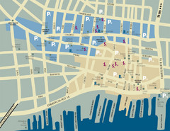
Portland, Maine Tourist Map
1825 miles away
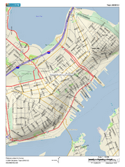
Portland, Maine City Map
1826 miles away
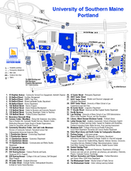
University of Southern Maine - Portland Map
1826 miles away
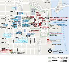
New Bedford Whaling National Historical Park...
Official NPS map of New Bedford Whaling National Historical Park in Massachusetts. Map shows all...
1827 miles away
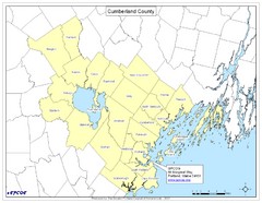
Cumberland County Map
Map showing all city divisions of Cumberland County, Maryland with specific location of the CPCOG.
1828 miles away
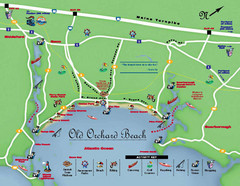
Old Orchard Beach Tourist Map
1828 miles away
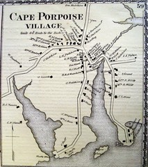
Cape Porpoise Village Map
1829 miles away
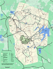
Wompatuck State Park trail map
Trail map of Wompatick State Park in Massachusetts.
1829 miles away
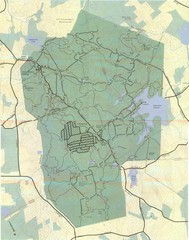
Wompatuck Park Trail Map
Map of Wompatuck Park including trails and roads and park features
1830 miles away
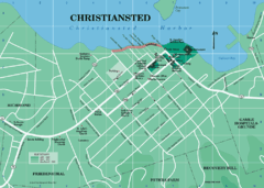
Christiansted Map
1830 miles away
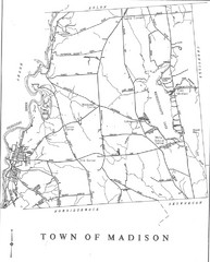
Madison Town Map
1831 miles away
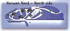
Val D’Irene North Side Ski Trail Map
Trail map from Val D’Irene, which provides downhill and nordic skiing. This ski area has its own...
1831 miles away
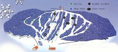
Val D’Irene South Side Ski Trail Map
Trail map from Val D’Irene, which provides downhill and nordic skiing. This ski area has its own...
1831 miles away
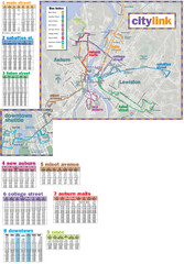
Citylink Route Map
Map of citylink bus routes throughout Auburn and Lewiston, Maine
1831 miles away
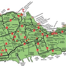
Central St. Croix Map
1832 miles away
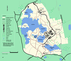
Massasoit State Park trail map
Trail map of Massasoit State Park in Massachusetts
1832 miles away

