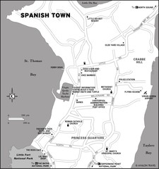
Spanish Town BVI Map
3572 miles away
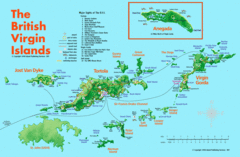
British Virgin Islands Tourist Map
Tourist map of British Virgin Islands with list of major attractions
3573 miles away
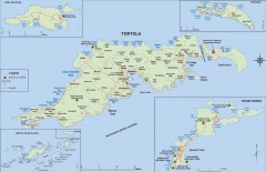
Map of Tortola Island
Tourist map of Tortola, the main island of the British Virgin Islands. Shows national parks and...
3573 miles away
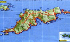
Tortola Island Map
3573 miles away
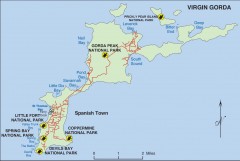
Map of Virgin Gorda
Map of Virgin Gorda in the British Virgin Islands. Shows national parks.
3573 miles away
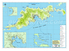
Tortola British Islands Tourist Map
Places of interest.
3573 miles away
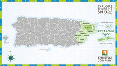
East Central Puerto Rico Map
3575 miles away
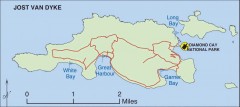
Jost Van Dyke map
Map of Jost Van Dyke island of the British Virgin Islands in the Caribbean.
3575 miles away
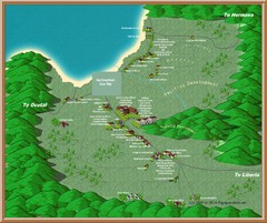
Coco Beach Tourist Map
3575 miles away
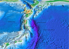
Atlantic Trench Bathymetric Map
3576 miles away
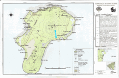
Corn Island Topo Map
3579 miles away
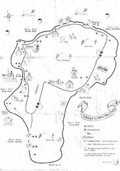
Big Corn Island Tourist Map
3579 miles away
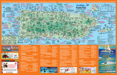
Puerto Rico Tourist Map
Map of island with detail of local tourist attractions
3582 miles away

Puerto Rico Tourist Map
Tourist map for Puerto Rico showing major roads, cities and the airport.
3582 miles away
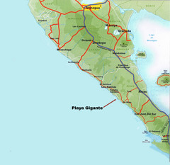
Cental America Coast Map
3583 miles away
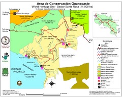
Guanacaste Conservation Area Tourist Map
Tourist map of Guanacaste Conservation Area, a World Heritage Site, in state of Guanacaste, Costa...
3587 miles away

Map of Anegada
Map of Anegada island of the British Virgin Islands.
3590 miles away
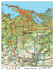
San Juan Road Map
Road map of San Juan, Puerto Rico area. Shows shaded elevation.
3590 miles away
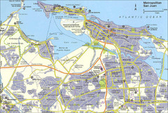
San Juan City Map
City Map of San Juan with information
3590 miles away
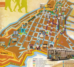
Old Town San Juan and El Morro Map
3593 miles away
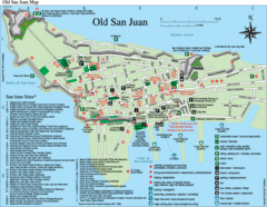
Old San Juan Tourist Map
City tourist map
3593 miles away

Tourist Map of Rincón Puerto Rico
Tourist map of Rincón and surrounding area. Features businesses and points of interest.
3600 miles away

Panoramic view of Nicaragua Canal route Map
3606 miles away
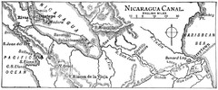
Route of Nicaragua Canal 1906 Map
3608 miles away
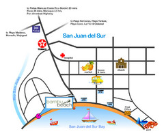
San Juan Del Sur Tourist Map
3623 miles away
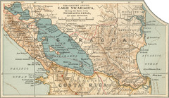
Early map of Nicaragua Canal
This was the original route for a canal across Central America
3630 miles away
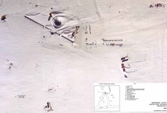
Amundsen Scott South Pole Station Aerial Map
Aerial photo map of the US Amundsen Scott South Pole Station at the South Pole, Antarctica
3633 miles away
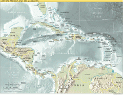
Overview map of Central America and the Caribbean
Shows the entire Caribbean region with names of islands/countries and major towns/cities.
3635 miles away
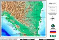
Nicaragua City and Town Elevation Map
Elevation map of Nicaragua with cities, towns, and airports detail.
3637 miles away
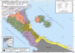
Political divisions of southern Nicaragua Map
3652 miles away
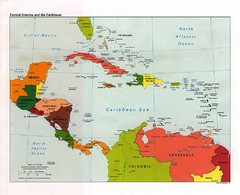
Caribbean Political Map
Political map of the Caribbean region. Scanned.
3654 miles away
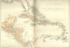
Central America and the West Indies Map
Historical Map of Central America and the West Indies Map
3662 miles away
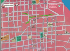
Granada, Nicaraugua Map
3665 miles away
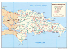
Dominican Republic Tourist Map
3671 miles away
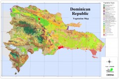
Dominican Republic Vegetation Map
Shows vegetation of Dominican Republic, 1:500,000 scale
3671 miles away
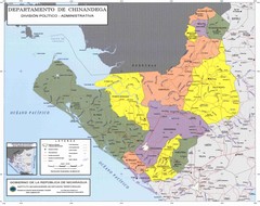
Political divisions of northeastern Nicaragua Map
3672 miles away
Belize Hurricane Tracking Map
Hurricane Tracking Map for Belize, Central America. Includes warning flags and their meanings.
3675 miles away
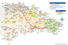
Dominican Republic Tourist Map
Overview tourist map of the Dominican Republic
3682 miles away
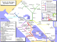
Nicaragua Transit system Map
3683 miles away
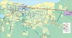
Managua Map
3688 miles away

