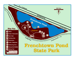
Frenchtown Pond State Park Map
Plan to bring everyone in the family to this day-use-only park for a whole afternoon of picnicking...
545 miles away
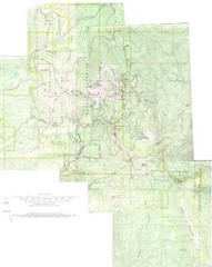
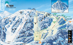
Mount Spokane Trail Map
Contour map of Mount Spokane
545 miles away
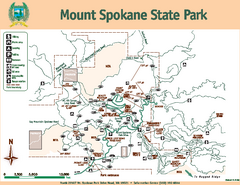
Mount Spokane State Park Map
Map of park with detail of trails and recreation zones
545 miles away
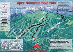
Apex Mountain Resort Biking Ski Trail Map
Trail map from Apex Mountain Resort, which provides downhill and terrain park skiing. It has 5...
547 miles away
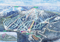
Apex Mountain Ski Trail Map
Official ski trail map of Apex Mountain ski area
547 miles away
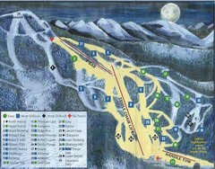
Marshall Mountain Ski Trail Map
Trail map from Marshall Mountain.
547 miles away
Silver Mountain Resort Ski Trail Map
Trail map from Silver Mountain Resort, which provides downhill, night, and terrain park skiing. It...
548 miles away
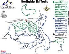
Nickel Plate Nordic Centre North Ski Trail Map
Trail map from Nickel Plate Nordic Centre.
549 miles away
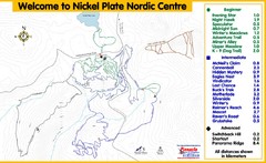
Nickel Plate Nordic Centre Ski Trail Map
Trail map from Nickel Plate Nordic Centre.
549 miles away

Helena, Montana City Map
550 miles away
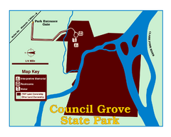
Council Grove State Park Map
Clearly marked map.
551 miles away

Missoula, Montana City Map
551 miles away
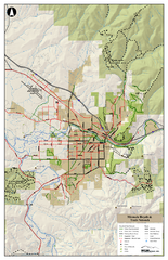
Missoula Bike Trails Map
Road and Mt. Bike trails with a bit of topology near Missoua
551 miles away

Missoula Trail System Map
Basic Map of Hike/Bike/Run Trail system for Missoula MT
551 miles away
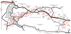
Trail of the Coeur d'Alenes Map
Shows the Trail of the Coeur d'Alenes, a 72 mile bike path that follows the Union Pacific...
554 miles away
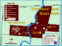
Travelers' Rest State Park Map
The Lewis and Clark expedition camped here twice during their historic journey to locate the...
556 miles away
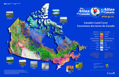
Canada Land Cover Map
Shows color-coded land cover regions of Canada. In French and English.
560 miles away
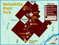
Makoshika State Park Map
To the Sioux Indians, Ma-ko-shi-ka meant bad earth or bad land. Today, as Montana’s largest...
561 miles away
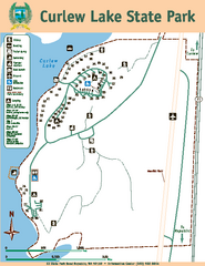
Curlew Lake State Park Map
Map of park with detail of trails and recreation zones
561 miles away
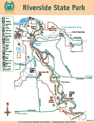
Riverside State Park Map
Map of park with detail of trails and recreation zones
564 miles away
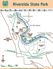
Riverside State Park Map
Map of park with detail of trails and recreation zones
564 miles away
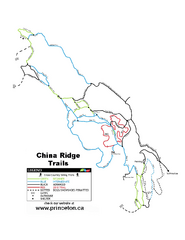
China Ridge XC Ski Trail Map
Trail map from China Ridge XC, which provides nordic skiing.
565 miles away
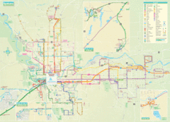
Spokane Guide Map
Roads and areas in and around Spokane, Washington
568 miles away
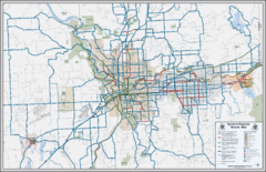
Spokane, Washington Bike Map
568 miles away
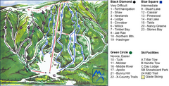
Murray Ridge Ski Trail Map
Trail map from Murray Ridge, which provides downhill and nordic skiing. This ski area has its own...
569 miles away
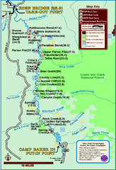
Smith River State Park Map
The Smith River is a unique 59-mile river corridor. Permits are required to float the stretch of...
572 miles away
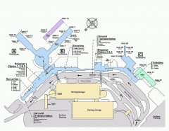
Spokane International Airport Terminal Map
Official Map of Spokane International Airport in Washington state. Shows all terminals.
573 miles away
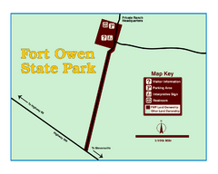
Fort Owen State Park Map
Fort Owen’s adobe and log remains preserves the site of the first permanent white settlement...
576 miles away
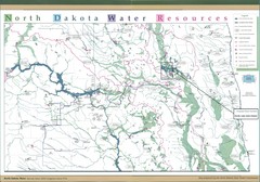
North Dakota Water Resources Map
North Dakota Counties, Rivers and Lakes Map
582 miles away
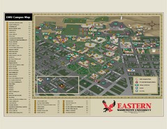
Eastern Washington University Campus Map
Campus map of Eastern Washington University in Cheney, Washington
582 miles away
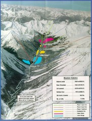
Cayoosh Resort (Melvin Creek) Ski Trail Map
Trail map from Cayoosh Resort (Melvin Creek), which provides downhill skiing.
583 miles away
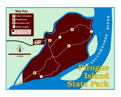
Pirogue Island State Park Map
Visitors find this isolated and undeveloped cottonwood-covered Yellowstone River island an...
583 miles away
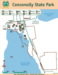
Conconully State Park Map
Map of park with detail of trails and recreation zones
583 miles away
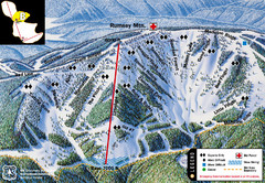
Discovery Basin Ski Area B Ski Trail Map
Trail map from Discovery Basin Ski Area.
584 miles away
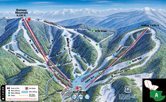
Discovery Basin Ski Area A Ski Trail Map
Trail map from Discovery Basin Ski Area.
584 miles away
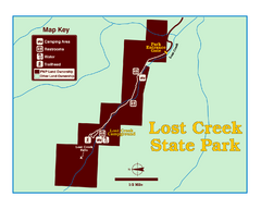
Lost Creek State Park Map
These spectacular gray limestone cliffs and pink and white granite formations rise 1,200 feet above...
584 miles away
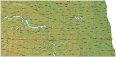
North Dakota Map
585 miles away

