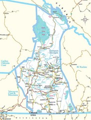
British Columbia, Canada Tourist Map
715 miles away

Pacific Northwest Inside Passage Map
Amazing Pacific Northwest Inside Passage Legendary map.
715 miles away

3-D Panoramic Map of the Puget Sound
A 3D panoramic map of a view from a private residence over Puget Sound toward the Olympic mountains.
715 miles away
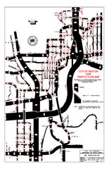
Renton WA Traffic Flow Map
City of Renton, WA traffic flow map
716 miles away
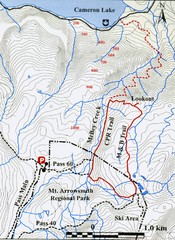
Mt. Arrowsmith Park CPR Historic Trail Map
Trail map of Mt. Arrowsmith Regional Park CPR Historic Trail, Vancouver Island
716 miles away
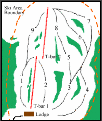
Mount Arrowsmith (Upper) Ski Trail Map
Trail map from Mount Arrowsmith (Upper).
716 miles away
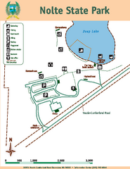
Nolte State Park Map
Map of park with detail of trails and recreation zones
717 miles away
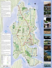
Bainbridge Island Hiking and Biking Map
Shows trails and bike routes on Bainbridge Island, Washington in the Puget Sound. Also shows...
717 miles away
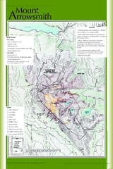
Mount Arrowsmith Climbing Route Map
Climbing routes on Mount Arrowsmith, Vancouver Island
717 miles away
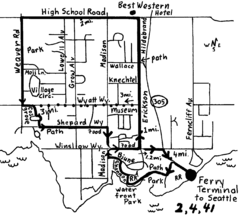
Bainbridge Walking Map
From Seattle Ferry Terminal, take the Bainbridge Ferry to Winslow. The walk is 4 miles with...
717 miles away
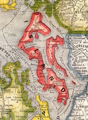
Island County Washington, 1909 Map
718 miles away
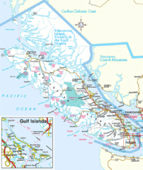
Vancouver Island Park Map
Parks and roads on Vancouver Island.
718 miles away
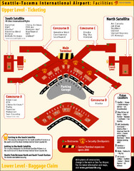
SeaTac Airport Map
720 miles away

Red River State Recreation Area Map
map of recreation area with detail of trails and recreation zones
720 miles away
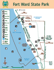
Fort Ward State Park Map
Map of park with detail of trails and recreation zones
720 miles away
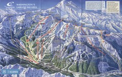
Crystal Mountain Resort Ski Trail Map
Trail map from Crystal Mountain Resort, which provides downhill skiing. It has 10 lifts servicing...
720 miles away
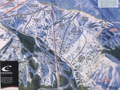
Crystal Mountain Resort Northway Inset Ski Trail...
Trail map from Crystal Mountain Resort, which provides downhill skiing. It has 10 lifts servicing...
720 miles away
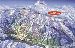
Crystal Mountain Ski Trail Map
Official ski trail map of Crystal Mountain ski area from the 2007-2008 season. 2600 acres of...
721 miles away
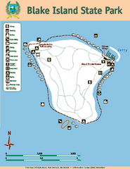
Blake Island State Park Map
Map of park with detail of trails and recreation zones
721 miles away
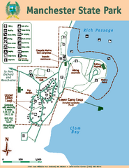
Manchester State Park Map
Map of park with detail of trails and recreation zones
721 miles away
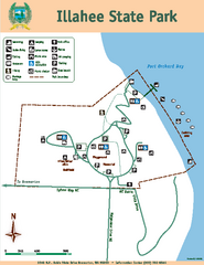
Illahee State Park Map
Map of park with detail of trails and recreation zones
722 miles away
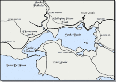
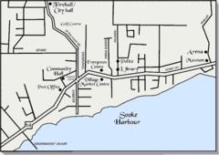
Community of Sooke, British Columbia Map
http://www.sooke.org/maps/map2.htm © Pax Media Inc.
722 miles away
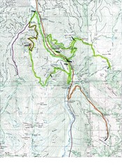
White River 50 Course Map
White River 50 Mile Trail Run
722 miles away
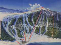
Big Horn Ski Resort Ski Trail Map
Trail map from Big Horn Ski Resort.
722 miles away
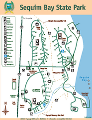
Sequim Bay State Park Map
Map of park with detail of trails and recreation zones
722 miles away
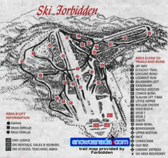
Pre-1999 Forbidden Plateau Map #2
Trail map from Forbidden Plateau.
722 miles away
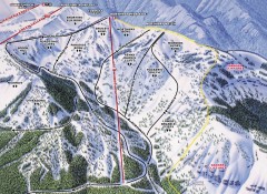
Crystal Mountain Ski Trail Map - Northway Area
Official ski trail map of the Northway area of Crystal Mountain ski area from the 2007-2008 season...
722 miles away

Tourist map of Downtown Des Moines, Washington
Tourist map of Downtown Des Moines, Washington. Shows all businesses.
722 miles away

Des Moines Washington tourist map
Tourist map of Des Moines, Washington, including Kent and SeaTac airport.
722 miles away
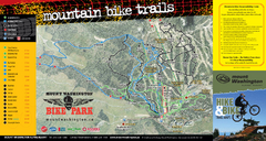
Mt. Washington Resort Summer Mountain Biking Ski...
Trail map from Mt. Washington Resort, which provides downhill and nordic skiing.
724 miles away
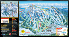
Mt. Washington Resort Ski Trail Map
Trail map from Mt. Washington Resort, which provides downhill and nordic skiing.
724 miles away
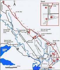
Log Train Trail Map
Trail map of the Log Train Trail near Port Alberni, Vancouver Island
724 miles away
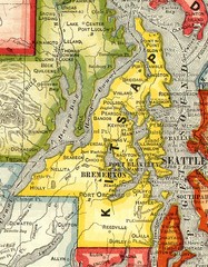
Kitsap County Washington, 1909 Map
725 miles away
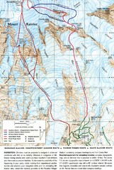
Mount Rainier Topo Map
Map of Mount Rainier Ascent. We ascended the "Muir Snowfield" and then went up the "...
725 miles away
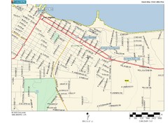
Port Angeles City Map
726 miles away

Oregon Trail Historical Map
726 miles away
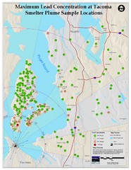
Tacoma Lead Concentration Map
A map of maximum lead concentrations near Tacoma.
726 miles away
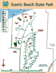
Scenic Beach State Park Map
Map of park with detail of trails and recreation zones
727 miles away
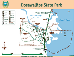
Dosewallips State Park Map
Map of park with detail of trails and recreation zones
727 miles away

