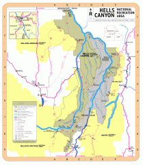
Hells Canyon National Recreation Area Map
Official Forest Service map of the Hells Canyon National Recreation Area. Shows roads, trails...
691 miles away
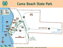
Cama Beach State Park Map
Map of park with detail of trails and recreation zones
691 miles away
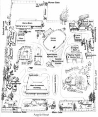
San Juan County Fair Map 2008
Fairgrounds map for the San Juan County Fair, Friday Harbor, Washington
692 miles away
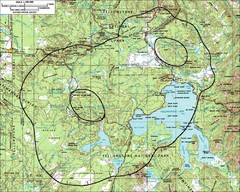
Yellowstone Lake Topographic Map
Topographic guide to Yellowstone Lake in Yellowstone National Park
692 miles away
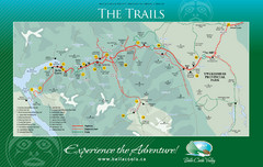
Bella Coola Valley Trail Map
Shows trails in region around Bella Coola, Hagensborg, and Firvale, British Columbia. Shows some...
693 miles away

San Juan Island tourist map
San Juan Island and Friday Harbor tourist map. Shows all businesses.
693 miles away
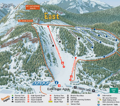
The Summit at Snoqualmie Summit East Ski Trail Map
Trail map from The Summit at Snoqualmie, which provides night and terrain park skiing. It has 30...
693 miles away
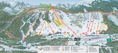
The Summit at Snoqualmie Summit Central Ski Trail...
Trail map from The Summit at Snoqualmie, which provides night and terrain park skiing. It has 30...
693 miles away
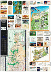
Mukilteo tourist map
Greater Mukilteo, Washington tourist map. Shows all businesses.
693 miles away
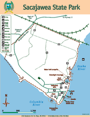
Sacajawea State Park Map
Map of park with detail of trails and recreation zones
694 miles away
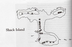
Shack Island Map
Illustration taken from the book "Shack Island" by Ruth English Matson. 2004.
694 miles away
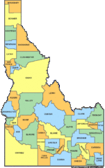
Idaho Counties Map
694 miles away
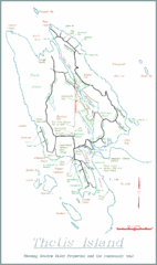
Thetis Island Map
Thetis Island map showing roads, properties, and the community trail.
694 miles away

Coupeville tourist map
Tourist map of Coupeville, Washington. Shows all businesses.
695 miles away
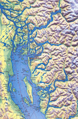
Northern Gulf Map
Map of Northern Gulf Islands
695 miles away
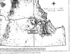
Map of Wolverine Sightings: 1886 -- 1998
695 miles away
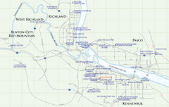
Kennewick Hotel Map
695 miles away
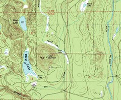
Fuller Mountain Topo Map
Fuller Mountain map with lakes, mountains and elevations identified.
695 miles away
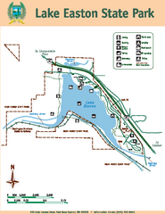
Lake Easton State Park Map
Map of island with detail of trails and recreation zones
695 miles away

City of Kennewick Map
Simple road map of Kennewick.
695 miles away
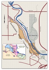
JackRabbit Ridge Natural Area Map
Shows urban wildlands
696 miles away
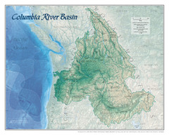
Columbia River Basin Map
696 miles away
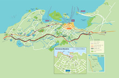
Nanaimo City Map
Map of Nanaimo, BC. Shows trails and parks.
696 miles away
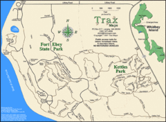
Ft Ebey/Kettle Park Trail Map
Trail map of Fort Ebey Park and Kettle Park, Washington
696 miles away
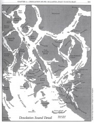
Desolation Sound Detail Map
Shows general geography of Desolation Sound from Malaspina Inlet to Bute Inlet. Shows Cortes Bay...
697 miles away
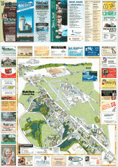
Mukilteo tourist map
Mukilteo, Washington tourist map. Shows all businesses.
697 miles away
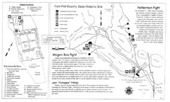
Fort Phil Kearny State Historic Site Map
Fort Phil Kearny State Historic Site is a National Historic Landmark located between Sheridan and...
697 miles away
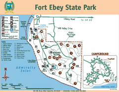
Fort Ebey State Park Map
Map of park with detail of trails and recreation zones
697 miles away

South Whidbey tourist map
Tourist map of South Whidbey, Washington. Shows all businesses.
697 miles away

Whidbey Island tourist map
Tourist map of Whidbey Island and Coupeville, Washington. Shows all businesses.
697 miles away
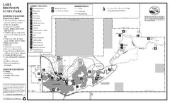
Lake Bronson State Park Summer Map
Summer seasonal map of park with detail of trails and recreation zones
698 miles away
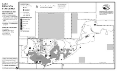
Lake Bronson State Park Winter Map
Winter seasonal map of park with detail of trails and recreation zones
698 miles away

South Whidbey Island tourist map
Tourist map of South Whidbey Island, Washington. Shows all businesses.
698 miles away
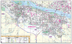
Kennewick, Washington City Map
698 miles away
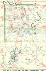
1929 Yellowstone and Grand Teton National Parks...
Map of older smaller boundaries of both national parks
698 miles away
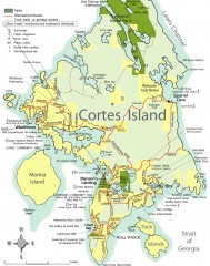
Cortes Island tourist map
Tourist map of Cortes Island in British Columbia, Canada. Shows businesses and roads.
698 miles away
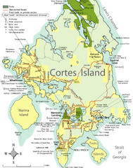
Cortes Island Tourist Map
Places of interest.
698 miles away

Woodinville tourist map
Tourist map of Woodinville, Washington. Shows all businesses.
699 miles away
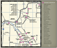
Woodinville Wine Country Map
Map of wineries in the Woodinville, WA area
699 miles away
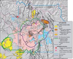
Yellowstone Geologic Map
Guide to geology, volcanic and earthquake activity and caldera outlines in Yellowstone National Park
699 miles away

