
Skagit County Washington, 1909 Map
666 miles away
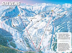
Stevens Pass Ski Area Stevens Pass Mill Valley...
Trail map from Stevens Pass Ski Area, which provides night and terrain park skiing. It has 8 lifts...
666 miles away
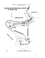
Vancouver Locational Map
Visitor Information Map includes directions from the Vancouver International Airport to the...
666 miles away
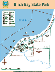
Birch Bay State Park Map
Map of park with detail of trails and recreation zones
667 miles away
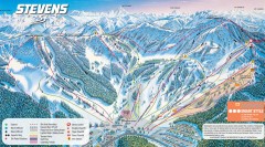
Stevens Pass Ski Trail Map
Official ski trail map of Stevens Pass ski area
667 miles away
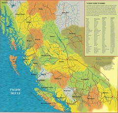
First Nations Peoples of British Columbia Map
"The boundaries between territories are deliberately shown as blending into one another, in...
667 miles away
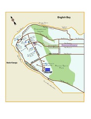
Downtown Vancouver Map
667 miles away
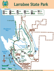
Larrabee State Park Map
Map of island with detail of trails and recreation zones
667 miles away
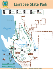
Larrabee State Park Map
Park map of Larrabee State Park, Washington.
667 miles away
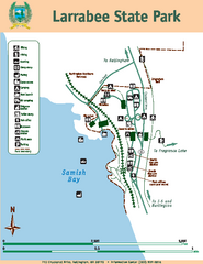
Larrabee State Park Map
Map of island with detail of trails and recreation zones
667 miles away
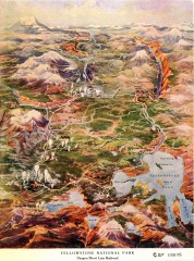
Detail of Yellowstone National Park, 1910 Map
Detail of Yellowstone National Park showing the Oregon Short Line Railroad, 1910
669 miles away
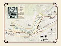
Iron Goat Trail Map
669 miles away
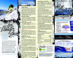
Mission Ridge Ski Area Ski Trail Map
Trail map from Mission Ridge Ski Area, which provides downhill, night, and terrain park skiing. It...
669 miles away
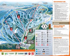
Mission Ridge Ski Trail Map
Official ski trail map of Mission Ridge ski area from the 2007-2008 season.
670 miles away
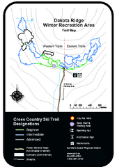
Dakota Ridge Ski Trail Map
Trail map from Dakota Ridge, which provides nordic skiing. This ski area has its own website.
671 miles away
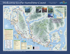
Lower Sunshine Coast Recreation Map
Recreation map of the Lower Sunshine Coast in BC. Shows hiking trails, mountain biking trails...
671 miles away
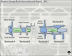
Houston, Airport Terminal Map
672 miles away
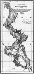
1871 Yellowstone River and Lake Map
Historic guide to the Yellowstone River and Lake in Yellostone National Park
672 miles away
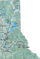
Northern Idaho Road Map
673 miles away
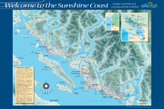
Sunshine Coast Recreation Map
Recreation map of the Sunshine Coast in BC. Shows trails for hiking (in yellow) and mountain...
673 miles away
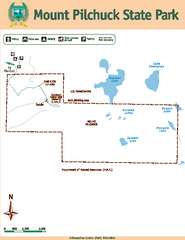
Mount Pilchuck State Park Map
Map of park with detail of trails and recreation zones
673 miles away
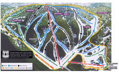
Bluewood Ski Trail Map
673 miles away
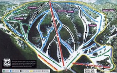
Bluewood Ski Trail Map
Trail map from Bluewood, which provides downhill, nordic, and terrain park skiing. It has 3 lifts...
673 miles away
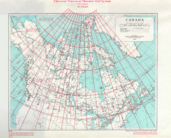
Canada Guide Map
674 miles away
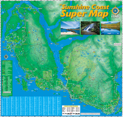
Sunshine Coast Super Map
Sunshine Coast Super Map Poster. 44" X 42". Also Available in folded version.
675 miles away
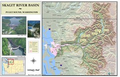
Skagit River Map
Skagit River Basin Overview Map (Pink shading is the FEMA 100 Year Flood)
676 miles away
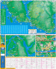
Folded Sunshine Coast Super Map
Folded Sunshine Coast Super Map
676 miles away
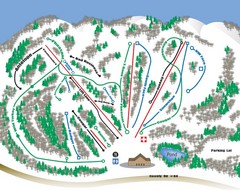
Huff Hills Ski Trail Map
Trail map from Huff Hills.
676 miles away
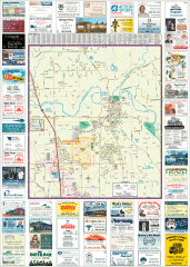
Arlington tourist map
Tourist map of Arlington, Washington. Shows all businesses.
677 miles away
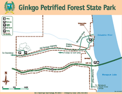
Ginkgo Petrified Forest State Park Map
Map of park with detail of trails and recreation zones
677 miles away
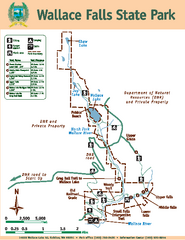
Wallace Falls State Park Map
Map of park with detail of trails and recreation zones
677 miles away
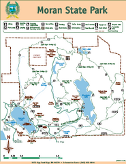
Moran State Park Map
Map of park with detail of trails and recreation zones
679 miles away
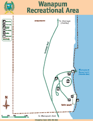
Wanapum Recreational Area Map
Map of park with detail of trails and recreation zones
679 miles away
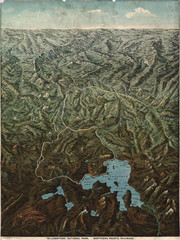
Fee’s map of Yellowstone National Park...
Charles S. Fee's map of Yellowstone in 1895.
679 miles away

Arlington and Smokey Point tourist map
Tourist map of Arlington and Smokey Point, Washington. Shows all businesses.
679 miles away
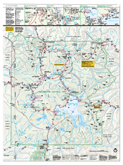
Yellowstone National Park official map
Official NPS map of Yellowstone National Park. Detail map of park with shaded relief. Established...
679 miles away
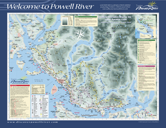
Upper Sunshine Coast Recreation Map
Recreation map of Upper Sunshine Coast in BC. Shows hiking trails, kayaking and canoeing routes...
680 miles away
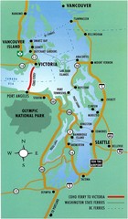
British Columbia, Canada Tourist Map
680 miles away
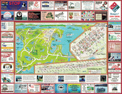
Anacortes tourist map
Tourist map of Anacortes, Washington. Shows recreation and points of interest.
680 miles away


