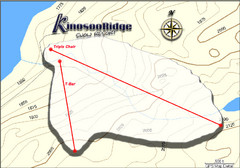
Kinosoo Ridge Topo Ski Trail Map
Trail map from Kinosoo Ridge, which provides downhill skiing. This ski area has its own website.
0 miles away
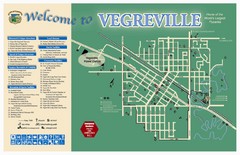
Vegreville Tourist Map
Tourist map of Vegreville, Alberta. Shows points of interest.
106 miles away
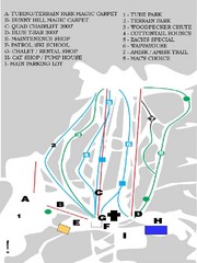
Table Mountain Ski Trail Map
Trail map from Table Mountain, which provides downhill skiing. This ski area has its own website.
126 miles away
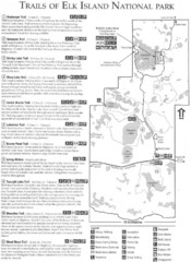
Elk Island National Park Trail Map
Map of hiking trails of Elk Island National Park, Alberta
129 miles away
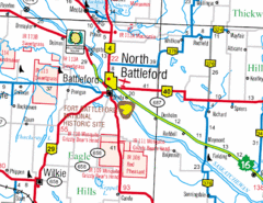
North Battleford, Saskatchewan Map
134 miles away
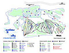
Tawatinaw Valley Ski Trail Map
Trail map from Tawatinaw Valley, which provides downhill and nordic skiing. This ski area has its...
140 miles away
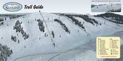
Sunridge Ski Area Ski Trail Map
Trail map from Sunridge Ski Area, which provides downhill skiing. This ski area has its own website.
149 miles away
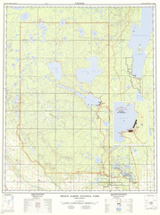
Prince Albert National Park Topo Map
Topographical map of Prince Albert National Park in Saskatchewan, Canada. From atlas.nrcan.gc.ca...
152 miles away
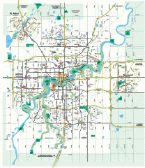
Edmonton Map
City street map of the metro Edmonton area in Alberta.
154 miles away
Edmonton, Alberta Tourist Map
154 miles away
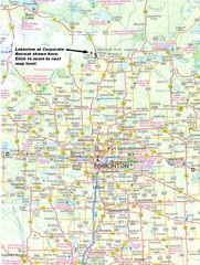
Edmonton, Alberta Tourist Map
154 miles away
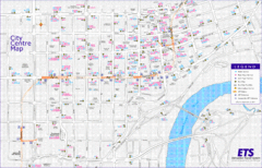
Edmonton Center Transportation Map
Bus and light rail public transportation map of center of Edmonton, Alberta, Canada.
154 miles away
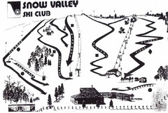
Snow Valley Ski Club ? Ski Trail Map
Trail map from Snow Valley Ski Club, which provides downhill skiing. This ski area has its own...
158 miles away
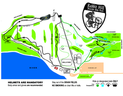
Rabbit Hill Ski and Snowboard Center Mountain...
Trail map from Rabbit Hill Ski and Snowboard Center, which provides downhill skiing. This ski area...
166 miles away
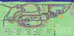
Devon Lions Park Campgrounds Map
168 miles away
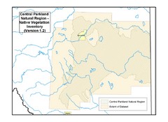
Aspen Parkland Natural Region Map
Map of area defined in the current vegetation / land use database for the Aspen Parkland Natural...
172 miles away
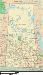
Saskatchewan Overview Map
Overview map of the Canadian province of Saskatchewan.
174 miles away

Map of Canada Circa 1900
186 miles away
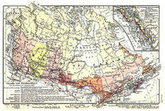
1911 Map of Canada and Newfoundland by Shepherd
This map was from the beautiful 1911 Historical Atlas by William R. Shepherd. Enjoy it!
186 miles away
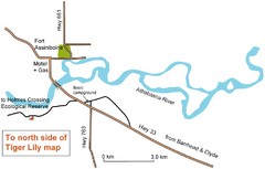
Fort Assiniboine Location Map
189 miles away
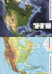
North America Satellite Relief Pair Map
A satellite image of North America twinned with a relief (or physical) representation of the same...
191 miles away
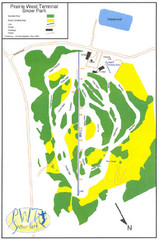
Prairie West Terminal Snow Park (Twin Towers) Ski...
Trail map from Prairie West Terminal Snow Park (Twin Towers), which provides downhill skiing. This...
201 miles away
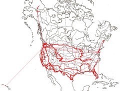
North America Layout Map
Countries, states and provinces in North America
211 miles away

Canyon Ski Area Ski Trail Map
Trail map from Canyon Ski Area, which provides downhill skiing. This ski area has its own website.
211 miles away
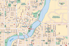
Saskatoon, Saskatchewan Tourist Map
211 miles away
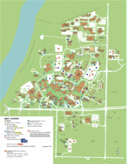
University of Saskatchwan Campus Map
Campus Map of the University of Saskatchwan in Canada. Includes all buildings and detailed parking...
212 miles away
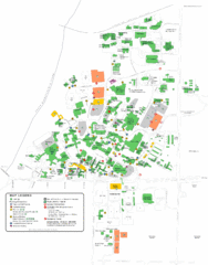
University of Saskatchewan Campus Map
Campus map of the University of Saskatoon in Saskatoon, Saskatchewan, Canada. Shows all buildings...
212 miles away
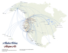
Alaska Airlines Route Map
230 miles away
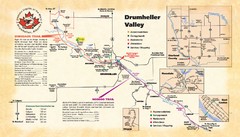
Drumheller Valley Tourist Map
Tourist map shows trails and points of interest of area around Drumheller, Alberta.
235 miles away
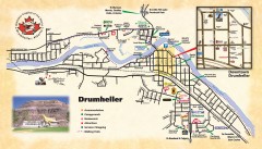
Drumheller Tourist Map
Tourist map of Drumheller, Alberta. Shows accommodations, campgrounds, restaurants, attractions...
235 miles away
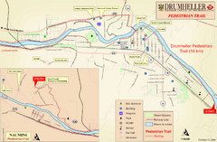
Drumheller Pedestrian Trail Map
235 miles away

Edmonton, Alberta Tourist Map
Edmonton, Alberta and the area west of it
239 miles away

Wapiti Valley Ski Trail Map
Trail map from Wapiti Valley, which provides downhill skiing. This ski area has its own website.
242 miles away
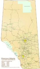
Alberta Tourist Map
Cities and areas in Alberta, Canada
268 miles away
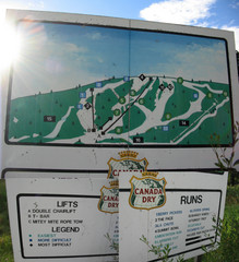
Silver Summit Ski Trail Map
Trail map from Silver Summit, which provides downhill and nordic skiing. This ski area has its own...
268 miles away
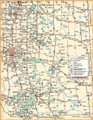
Southern Alberta Map
Shows highways, cities and towns, national/provincial parks and recreation areas, UNESCO World...
270 miles away
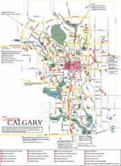
Calgary Map
289 miles away


