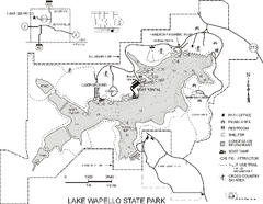
Lake Wapello State Park Map
Map of trails, lake depths and fishing spots at Lake Wapello State Park.
215 miles away
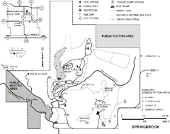
Springbrook State Park Map
Map of trails, hunting and fishing areas, and park facilities in Springbrook State Park.
215 miles away

Salt Creek Map
Picnic Areas and Trail Map
215 miles away
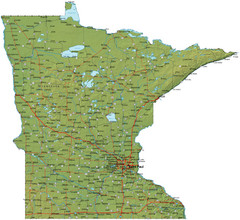
Minnesota Road Map
Minnesota road map with relief
215 miles away
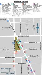
Chicago Lincoln Square Map
215 miles away
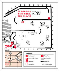
LaSalle Lake, Illinois Site Map
216 miles away
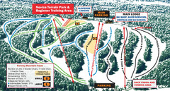
Norway Mountain Ski Trail Map
Trail map from Norway Mountain.
216 miles away
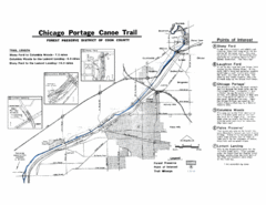
Chicago Portage Canoe Trail Map
Map of the Chicago Portage Canoe Trail in western Cook County on the Des Plaines River, Illinois...
217 miles away

Shimek State Forest Horse Trail Map
Map of Horse Trail Sytem within Shimek State Forest.
217 miles away
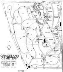
Graceland Cemetery Map
Map of the sections of Graceland cemetery with notable burials marked Key here: http://mappery.com...
217 miles away
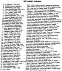
Graceland Cemetery Map key
key for the map of Graceland Cemetery: http://mappery.com/Graceland-Cemetery-Map
217 miles away
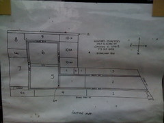
Map of Wunders Cemetery in Chicago, IL
Map of the burial sections for Wunders Cemetery
217 miles away
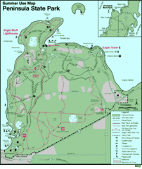
Peninsula State Park Map
Beautiful trails.
218 miles away

Illinois and Michigan Canal - West Site Map
218 miles away
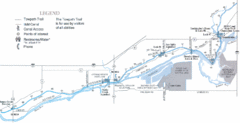
Illinois and Michigan Canal - East Site Map
218 miles away

Shimek State Forest Hiking Trail Map
Map of hiking trails in Shimek State Forest.
218 miles away
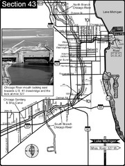
Chicago, IL Sanitary & Ship Canal/Chicago...
This is the beginning of the Illinois Waterway that connects Lake Michigan to the Mississippi River...
218 miles away

Red Haw State Park Map
Map of trails, lake depths, fishing spots and park facilities in Red Haw State Park.
218 miles away
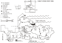
Honey Creek State Park Map
Map of trails, fishing spots and park facilities for Honey Creek State Park.
218 miles away
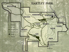
Hartley Park Map
Trail map
219 miles away
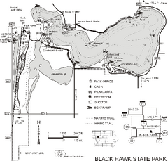
Black Hawk State Park Map
Map of trails, lake depths and facilities for Black Hawk State Park.
219 miles away
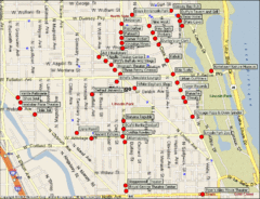
Lincoln Park Chicago Tourist Map
219 miles away
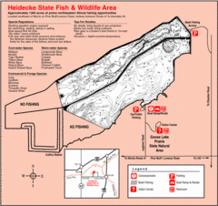
Heidecke Lake, Illinois Site Map
219 miles away

Palos & Sag Valley Map
Picnic Areas and Trail Map
220 miles away
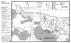
Sibley State Park Winter Map
Winter seasonal map of park with detail of trails and recreation zones
220 miles away
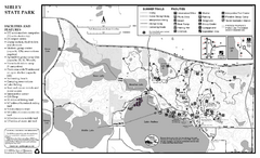
Sibley State Park Summer Map
map of park with detail of trails and recreation zones
220 miles away
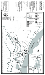
Charles A. Lindbergh State Park Map
Map of park with detail of trails and recreation zones
220 miles away

Porcupine Mountain Ski Trail Map
Trail map from Porcupine Mountain.
220 miles away
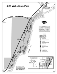
Wells State Park, Michigan Site Map
220 miles away
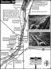
Joliet, IL Illinios river/Des Plaines River/I&...
For boating navigation and river road travel on the Illinois Waterway.
220 miles away
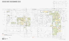
University of Illinois at Chicago Map
University of Illinois at Chicago Campus Map. All buildings shown.
221 miles away
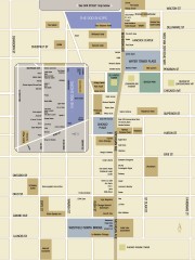
Shopping map of Chicago
Map of all shopping within the 900 Shops district of Chicago
221 miles away
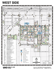
University of Illinois at Chicago - West Map
221 miles away
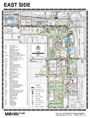
University of Illinois at Chicago - East Map
221 miles away
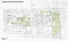
University of Illinois at Chicago Map
221 miles away
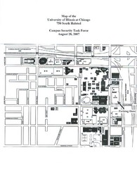
University of Illinios at Chicago Campus Map
221 miles away
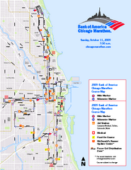
Chicago 2009 Marathon Map
Guide to the 2009 Chicago Marathon
221 miles away
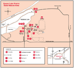
Goose Lake Prairie, Illinois Site Map
221 miles away
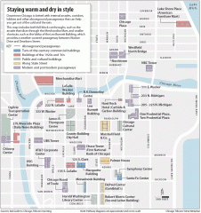
Downtown Chicago tourist map
Incredible pedway map of Downtown Chicago, showing historical architecture and internal arcades to...
221 miles away

