Bellevue State Park Map
Map of hiking trails, public hunting area and facilities of Bellevue State Park.
110 miles away

Granite Peak Ski Trail Map
Trail map from Granite Peak.
110 miles away
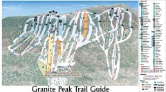
Granite Peak Ski Trail Map
Official ski trail map of Granite Peak ski area from the 2004-2005 season.
110 miles away

Afton Alps Ski Area Ski Trail Map
Trail map from Afton Alps Ski Area, which provides downhill, night, and terrain park skiing. It has...
111 miles away
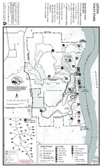
Afton State Park Summer Map
Map of park with detail of trails and recreation zones
111 miles away
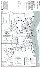
Afton State Park Winter Map
Map of park with detail of trails and recreation zones
111 miles away
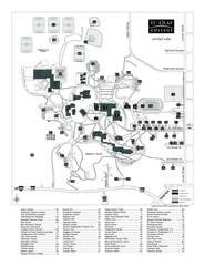
St. Olaf College Map
Campus map of St. Olaf College with index
111 miles away

St. Olaf College Map
Campus map of St. Olaf College
111 miles away
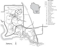
Lake Kegonsa State Park Map
Ball fields, drinking fountains, trails, and more easily guide you around this beautiful park.
111 miles away
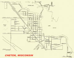
Chetek City Map
City map of Chetek, Wisconsin
112 miles away
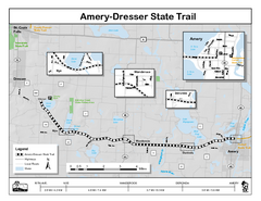
Ammery Dresser Trail Map
Easy to follow trail map.
113 miles away
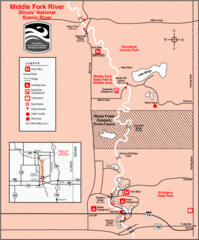
Middle Fork River Park, Illinois Site Map
114 miles away

Maquoketa Caves State Park Map
Map of trails and park facilities for Maquoketa Caves State Park.
114 miles away
Wapsipinicon State Park Map
Map of trails, hunting areas and park facilities in Wapsipinicon State Park.
114 miles away
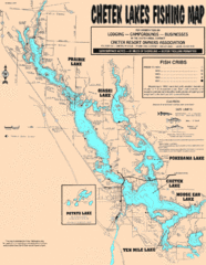
Chetek Lakes Fishing Map
Fishing map of the Chetek Lakes region
115 miles away

Willow River State Park Map
Easily read map with detailed markings.
115 miles away
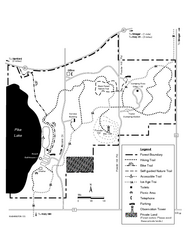
Pike Lake Map
Detailed trail map of area surrounding Pike Lake.
117 miles away
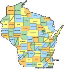
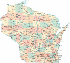
Wisconsin Counties Map
120 miles away
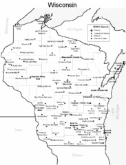
Wisconsin Airports Map
120 miles away
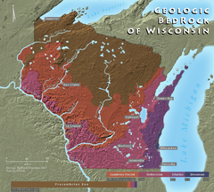
Wisconsin Geologic Bedrock Map
Relief map of geologic bedrock in Wisconsin with cities labeled
120 miles away
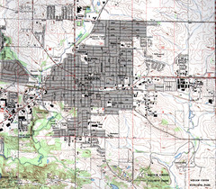
Marion Iowa Topo Map
USGS topo map of Marion, Iowa
120 miles away
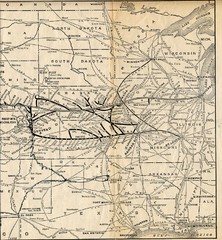
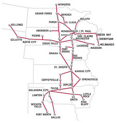
1925 Union Pacific Railroad Map Part 2
Guide to the Union Pacific railroad lines in the Midwest of the United States
120 miles away
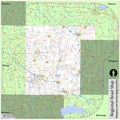
Regional Road Map of Waupaca County, Wisconsin
120 miles away

Sakatah Lake State Park Map
map of park with detail of trails and recreation zones
121 miles away
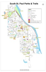
South St. Paul Parks and Trails Map
Park and trail map of South St. Paul, Minnesota.
122 miles away
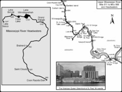
Upper Mississippi River Mile 811 to Mile 1347 Map
Historical Map from book "Mississippi River-Historical Sites and Interesting Places
122 miles away
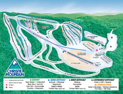
Christie Mountain Ski Area Ski Trail Map
Trail map from Christie Mountain Ski Area.
123 miles away
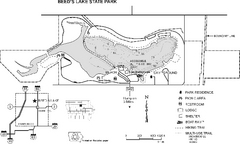
Beeds Lake State Park Map
Map showing lake depths, trails and facilities of Beeds Lake State Park.
124 miles away

Pilot Knob State Park Map
Map of trails and park facilities in Pilot Knob State Park.
124 miles away

Buck Hill Ski Area Ski Trail Map
Trail map from Buck Hill Ski Area, which provides downhill, night, and terrain park skiing. It has...
124 miles away
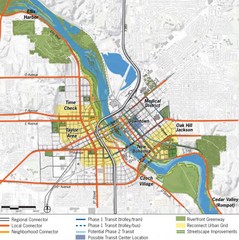
Cedar Rapids Tourist Map
125 miles away
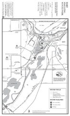
Fort Snelling State Park Winter Map
Winter map of park with detail of trails and recreation zones
126 miles away
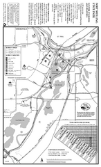
Fort Snelling State Park Summer Map
Summer map of park with detail of trails and recreation zones
126 miles away
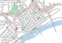
St. Paul, Minnesota City Map
126 miles away
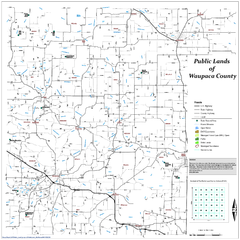
Public Lands of Waupaca County Map
127 miles away
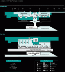
Minneapolis-St. Paul International Airport...
Official Map of Minneapolis-St. Paul International Airport. Shows Humphrey Terminal.
128 miles away
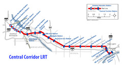
Central Corridor Light Rail in Twin Cities Region...
New Light Rail in Twin Cities Region
129 miles away

William O'Brien State Park Map
map of park with detail of trails and recreation zones
129 miles away

