Cascade Mountain Ski Trail Map
Trail map from Cascade Mountain.
85 miles away

Tyrol Basin Trail Map
Trail map taken from website Jan 2008
85 miles away
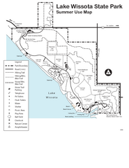
Lake Wissota State Park Map
Easy hiking along the beautiful water front.
86 miles away
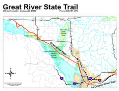
Great River State Trail Map
Nice hike through natural settings along a beautiful river.
86 miles away
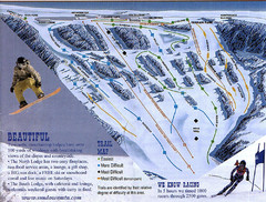
Sundown Mountain Ski Trail Map
Trail map from Sundown Mountain.
86 miles away

Waverly Rail Trail Map
95 miles away

Welch Village Ski Area Ski Trail Map
Trail map from Welch Village Ski Area, which provides downhill, night, and terrain park skiing. It...
95 miles away
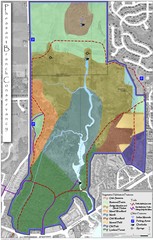
Pheasant Branch Conservancy Vegetation Map
Vegetation map of the Pheasant Branch Conservancy in Middleton, Wisconsin. Shows vegetative...
96 miles away
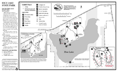
Rice Lake State Park Map
map of park with detail of trails and recreation zones
97 miles away
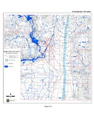
Groundwater Elevation of Portage County Map
Using the water table elevation map, generalized groundwater flow directions can be estimated.
97 miles away
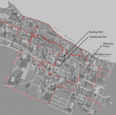
University of Wisconsin-Madison Campus Map
Map of the University of Wisconsin Campus. Includes all buildings, streets, and auditoriums.
99 miles away
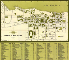
University of Wisconsin-Madison Campus (1964...
University of Wisconsin-Madison (1964) Visitor's Map
99 miles away
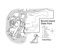
Brunet Island State Park Map
Easy to read legend.
99 miles away

Urban Neighborhood Map: Madison Map
This Urban Neighborhood Poster of Madison is a modern twist on traditional maps. The typography...
101 miles away
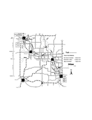
Sugar River Map
Towns, roads and rivers are all clearly marked on this map.
101 miles away
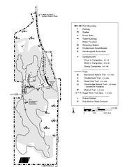
New Glaris Woods Map
Marked bathroom stops, trails, ect.
102 miles away
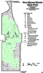
New Glarus Woods State Park Map
102 miles away
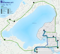
Monona Lift Bus Route Map
103 miles away
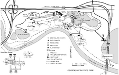
George Wyth State Park Map
Map of trails, lakes, fishing and park facilities in George Wyth State Park
104 miles away
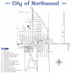
Northwood City Map
City map of Northwood, Iowa with key of churches, parks, and other points of interest.
104 miles away
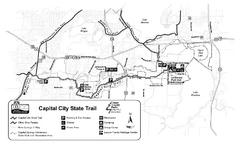
Capitol City State Trail Map
104 miles away

Owatonna Map
Visitor Map of Owatonna, Minnesota. Includes all streets, highways, restaurants, hotels, parks and...
104 miles away
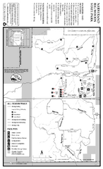
Nerstrand-Big Woods State Park Map
map of park with detail of trails and recreation zones
104 miles away
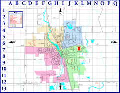
Medford City Map
City map of Medford, Wisconsin. Shows public buildings and districts.
105 miles away
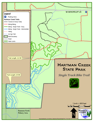
Hartman Creek State Park - Single Track Bike...
106 miles away
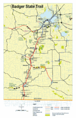
Badger State Trail Map
One of Wisconsin's best trails.
106 miles away
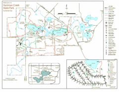
Hartman Creek State Park Map
106 miles away

Chestnut Mountain Resort Farside Ski Trail Map
Trail map from Chestnut Mountain Resort, which provides downhill, night, and terrain park skiing...
106 miles away

Chestnut Mountain Trail Map
Trail map taken from website Jan 2008
106 miles away
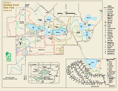
Hartman Creek State Park map
Detailed recreation map for Hartman Creek State Park in Wisconsin
106 miles away
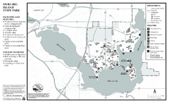
Myre-Big Island State Park Winter Map
Winter seasonal map of park with detail of trails and recreation zones
106 miles away
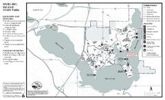
Myre-Big Island State Park Summer Map
Summer seasonal map of park with detail of trails and recreation zones
106 miles away
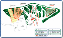
Nordic Mountain Ski Trail Map
Trail map from Nordic Mountain.
107 miles away
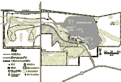
Browntown-Cadiz Springs State Recreation Area Map
Detailed map containing locations on shelters, parks, trails, and toilets.
107 miles away
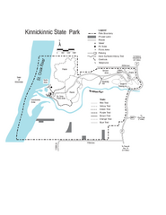
Kinnickinnic State Park Map
Map detailing hiking routes and stops along the way.
108 miles away
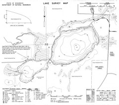
Fireside Lake Survey Map
Survey of Lake and surrounding areas done by State of Wisconsin Department of Natural Resources
109 miles away
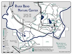
River Bend Nature Center Map
109 miles away
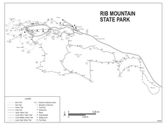
Rib Mountain State Park Map
Simple state park map with nice hiking trails.
110 miles away
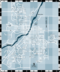
Northfield Street Map
Street map of Northfield, Minnesota
110 miles away

