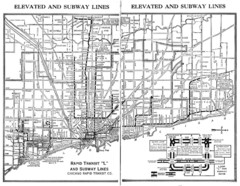
1944 Chicago "L" Elevated Train Map
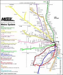
System map of Chicago subway system
222 miles away
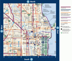
Biking in Downtown Chicago, Illinois Map
Map of bike lanes, bike trails, bike shops, public transportation, museums and other attractions in...
222 miles away
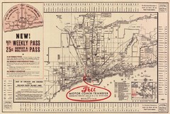
1934 Chicago Rapid Transit Map
222 miles away
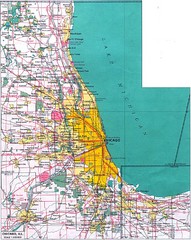
Chicago Map
222 miles away
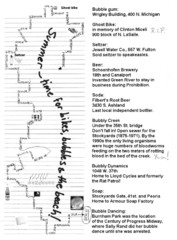
Bubble Ride Route Map
Bubble Ride Route Map from Critical Mass in Chicago
222 miles away
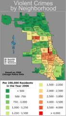
Chicago 2006 Violent Crime Map
Crime in Chicago by neighborhood.
222 miles away
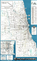
Chicago Transit Map
Map of Chicago Transit circa 1957. Includes roads, some buildings and detailed transit information.
222 miles away
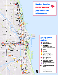
Chicago Marathon Course Map 2008
Official 2008 course map of the Chicago Marathon
222 miles away
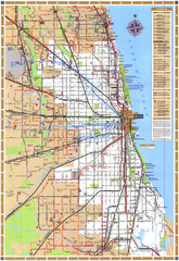
Chicago Train Map
Shows Chicago Transit Authority train routes in the Chicago area.
222 miles away
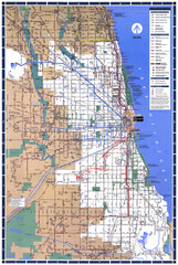
Chicago L System Map
CTA system map for the "L" from 1999
222 miles away
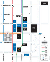
DePaul University Loop Campus Map
222 miles away
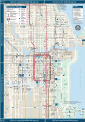
Downtown Chicago Map
222 miles away
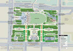
Millenuim Park Chicago Map
222 miles away
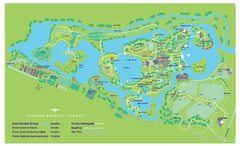
Chicago Botanic Garden Map
222 miles away
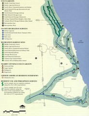
Map of Chicago River with Emphasis on...
A map of the Chicago River with the emphasis on human use and awareness of the river.
222 miles away
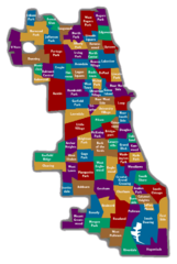
Chicago Neighborhood Map
222 miles away
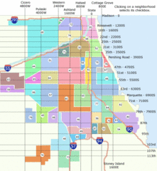
Chicago Neighborhood Map
222 miles away
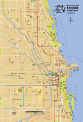
Chicago Neighborhood Map
222 miles away
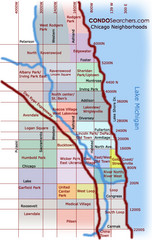
Chicago Neighborhood Map
222 miles away
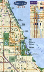
Chicago Bike Map
222 miles away
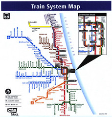
Chicago Train System Map
222 miles away
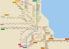
Chicago Public Transportation Map
222 miles away
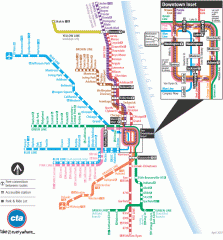
Chicago Train Map
Official map of the Chicago Rail System. CTA's Rail System has seven branches, differentiated...
222 miles away
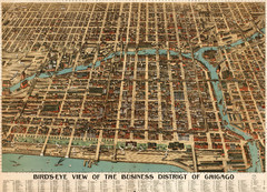
Birdseye of the business district of Chicago...
Poole Brother's beautiful birdseye illustration of the Chicago Loop in 1898.
222 miles away
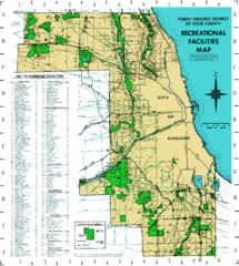
Cook County Recreation Map
Map of forest preserve recreational facilities in Cook County, Illinois.
222 miles away

Lake Michigan Depths Map
222 miles away
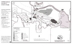
Upper Sioux Agency State Park Summer Map
Summer seasonal map of park with detail of trails and recreation zones
222 miles away
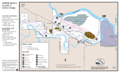
Upper Sioux Agency State Park Winter Map
Winter seasonal map of park with detail of trails and recreation zone
222 miles away
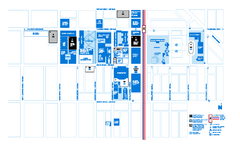
DePaul University - Lincoln Park Campus Map
Campus Map of DePaul University in Chicago, Lincoln Park Campus. All buildings shown.
222 miles away
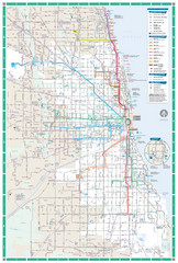
Chicago Transit Map
222 miles away
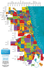
Chicago Neighborhoods Map
Map of Chicago identifying the different neighborhoods in the city
223 miles away
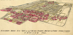
Chicago Meatpacking District and Stockyards (1890...
Charles Rascher's illustration of the Chicago meatpacking district in 1890.
223 miles away
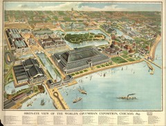
Chicago World's Columbian Exposition 1893...
Panoramic view of the World's Columbian Exposition in Chicago, 1893
223 miles away
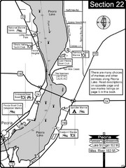
Peoria, IL Illinois River/Peoria Lake Map
For boating navigation and river road travel on the Illinois River.
225 miles away
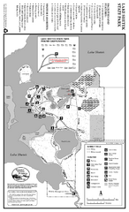
Lake Shetek State Park Summer Map
Summer seasonal map of park with detail of trails and recreation zones
226 miles away
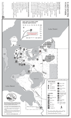
Lake Shetek State Park Winter Map
Winter seasonal map of park with detail of trails and recreation zones
226 miles away
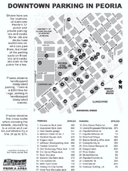
Parking in Downtown Peoria, Illinois Map
Tourist map of downtown Peoria, Illinois, showing locations of public parking.
226 miles away

Tinley Creek Map
Picnic Areas and Trail Map
226 miles away

