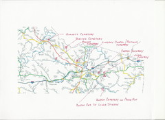
Carter County Cemetery Map
Cemeteries identified in Handwriting on map of Carter County with roads, cities and rivers.
160 miles away
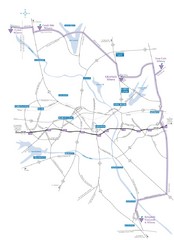
Haw River Wine Trail Map
161 miles away
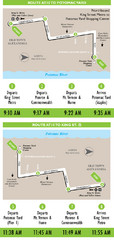
DC Metro Route Between King Street and Potomac...
161 miles away
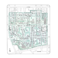
Downtown Wiston-Salem Map
The Holly Avenue neighborhood located on the southwestern edge of downtown Winston-Salem has...
161 miles away
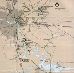
Richmond Area Civil War Battle Map
Richmond, VA area Civil War battle map
161 miles away
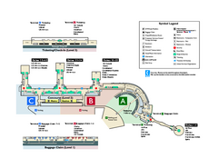
Ronald Reagan Washington National Airport Map
Official Terminal Map of Ronald Reagan Washington National Airport. Shows all areas.
162 miles away
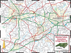
Greensboro, North Carolina City Map
162 miles away
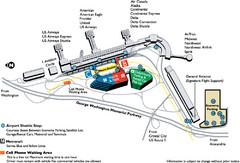
Reagan National Airport DCA Map
162 miles away

Tar Hollow State Park map
Detailed recreation map for tar Hollow State Park in Ohio
162 miles away
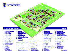
The University of North Carolina - Greensboro Map
The University of North Carolina - Greensboro Campus Map. All buildings shown.
163 miles away
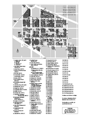
The George Washington University Map
Campus Map of The George Washington University in Washington, D.C. All areas shown.
163 miles away
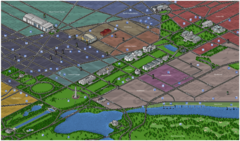
Washington DC Tourist Map
Tourist map of Washington, DC. Bird's-eye view of landmark buildings.
163 miles away
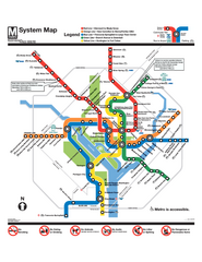
Official Washington DC Metro map
Official color PDF map from the Washington Metropolitan Area Transit Authority. The WMATA operates...
163 miles away
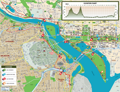
Washington D.C. Marine Corps Marathon Course Map...
Official 2008 course map of the Washington D.C. Marine Corps Marathon
164 miles away
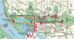
Walking tour of the Washington DC mall Map
Tourist map and walking tour of the National Mall in Washington D.C.
164 miles away
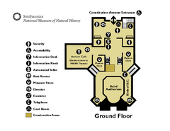
Floor Map of the Smithsonian National Museum of...
Official Floor Map of the Smithsonian National Museum of Natural History in Washington, D.C. Shows...
164 miles away
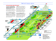
National Mall in Washington, D.C. Map
Official map of the National Mall, including the National Museum of Natural History and other...
164 miles away
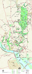
Rock Creek Park map
Map of Rock Creek Park and its immediate surroundings in Washington, DC
164 miles away
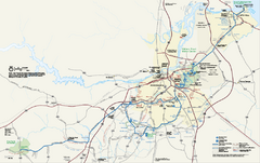
Petersburg National Battlefield Official Map
Official NPS map of Petersburg National Battlefield in Virginia. Petersburg National Battlefield is...
164 miles away
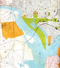
Antique map of Washington D.C. from 1901
Portion of "Map of the District of Columbia" No. D-287, Commission on the Improvement of...
164 miles away
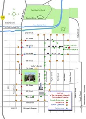
Georgetown Christmas Stroll Paradise Route Map
Walking path through Downtown Georgetown.
164 miles away
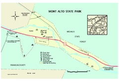
Mont Alto State Park Map
Detailed recreation map for Mont Alto State Park in Pennsylvania
164 miles away

Glendale, Virginia Battle Map
A Civil War Battle Map in Glendale, Virginia
165 miles away
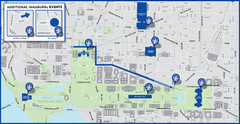
Washington D.C. Tourist Map
Attractions and the city of Washington D.C.
165 miles away
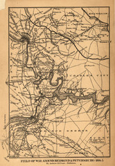
Petersburg, Virginia 1864 Map
165 miles away
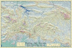
Boone, NC Outdoor Recreation Map
Guide to Boone, NC region
165 miles away

Trough Creek State Park map
Detailed recreation map for Trough Creek State Park in Pennsylvania
165 miles away
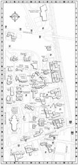
Catholic University of America Campus Map
Campus map of the Catholic University of America in Washington D.C.
165 miles away
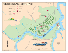
Grayson Lake State Park Map
Map of trails, facilities and golf course in Grayson Lake State Park.
166 miles away
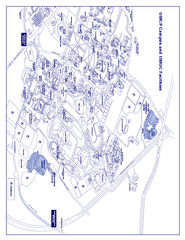
University of Maryland - University College Map
Campus Map of the University of Maryland - University College. All buildings shown.
168 miles away
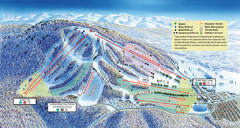
Liberty Mountain Ski Trail Map
Trail map from Liberty Mountain.
169 miles away

Caledonia State Park map
Detailed map of Caledonia State Park area in Pennsylvania.
169 miles away
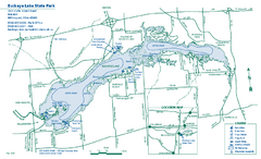
Buckeye Lake State Park map
Detailed recreation map for the Buckeye Lake area in Ohio
169 miles away
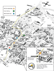
University of Maryland Map
Visitor Map of University of Maryland, shows specific location of the Hornbake building, all other...
169 miles away
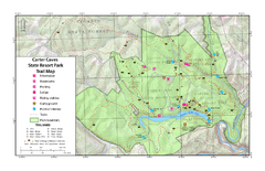
Carter Caves State Resort Park Topographic Trails...
Topographic map of the trails of Carter Caves State Resort Park.
170 miles away
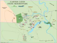
Carter Caves State Resort Park map
Detailed recreation map for Carter Caves State Park in Kentucky
170 miles away
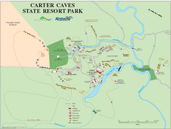
Carter Caves State Resort Park Map
Map of trails and facilities of Carter Caves State Resort Park.
170 miles away

Canoe Creek State Park map
Detailed recreation map for Canoe Creek State Park in Pennsylvania
170 miles away
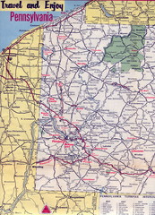
Western Pennsylvania Map
Western Pennsylvania, Northern West Virginia and Eastern Ohio roads
170 miles away
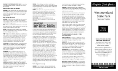
Westmoreland State Park Map
Fishing, hiking, camping and more are all available at this state park.
170 miles away

