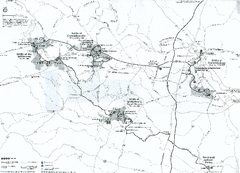
Fredericksburg and Spotsylvania National Military...
Official NPS map of Fredericksburg and Spotsylvania National Military Park in Virginia. The...
128 miles away
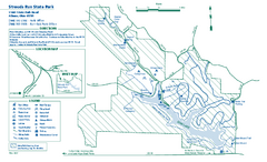
Strouds Run State Park map
Detailed recreation map for Strouds Run State Park in Ohio.
128 miles away
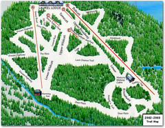
Laurel Mountain Ski Resort Ski Trail Map
Trail map from Laurel Mountain Ski Resort.
129 miles away
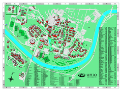
Ohio University Map
Ohio University Campus Map. All buildings shown.
130 miles away

Southpointe Community Map
Tourist map of planned community in Pennsylvania
130 miles away
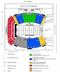
Marshall University Stadium Map
Clear map and legend of Marshall University's stadium.
132 miles away
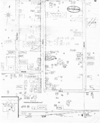
Pipestand Map
Historical map with reference to pipestand for the fire department
132 miles away
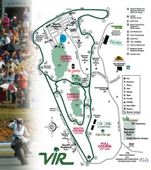
Virginia International Raceway Guide Map
VIR Guide Map
135 miles away
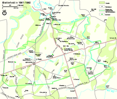
Manassas National Battlefield Park Official Map
Official NPS map of Manassas National Battlefield Park in Virginia.
136 miles away
Hungry Mother State Park Map
Detailed map of this small state park.
136 miles away
Harpers Ferry National Historical Park Official...
Official NPS map of Harpers Ferry National Historical Park in West Virginia-Maryland. Map shows all...
136 miles away

Kennywood Theme Park Map
"America's Finest Traditional Amusement Park" is the slogan for this fun, high rated...
137 miles away
Blue Ridge Parkway Official Map
Official NPS map of the Blue Ridge Parkway. The Parkway meanders 469 miles through Virginia and...
137 miles away
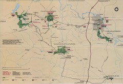
Fredricksburg National Parks Map
National parks in Fredricksburg.
138 miles away
Staunton River State Park Map
Clear map marking trails, rest stops, facilities and more.
139 miles away

Panhandle Rail-Trail Map
139 miles away
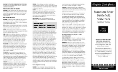
Staunton River Battlefield State Park Map
Clearly labeled state park map.
139 miles away
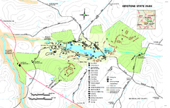
Keystone State Park Map
Detailed recreation map for Keystone State Park in Pennsylvania
139 miles away
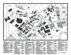
University of Pittsburgh - Main Campus Map
University of Pittsburgh - Main Campus Map. All buildings shown.
140 miles away
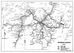
Pittsburgh, Pennsylvania City Map
140 miles away
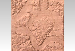
Pittsburgh, PA carved by carvedmaps.com Map
We can carve any location within the United States. Do you have a mountain cabin? We can carve...
140 miles away
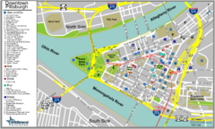
Pittsburgh Tourist Map
140 miles away
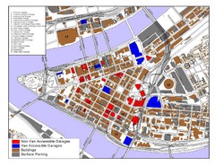
Pittsburgh Tourist Map
140 miles away
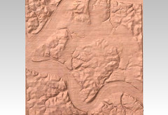
Pittsburgh map carved by CarvedMaps.com
Wood Map of the three rivers area of Pittsburgh, PA. CarvedMaps.com can carve any area within...
140 miles away
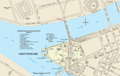
Point State Park Map
Recreation map for Point State Park in Pennsylvania
140 miles away
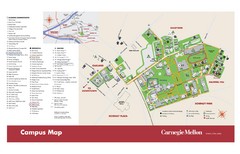
Carnegie Mellon Campus Map
Map of the Carnegie Mellon Campus. Includes all buildings, streets and the location of the campus...
140 miles away
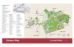
Carnegie Mellon Campus Map
Campus map of Carnegie Mellon University (CMU) in Pittsburgh, PA.
140 miles away
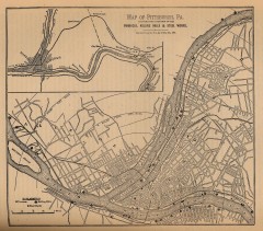
Antique map of Pittsburgh from 1879
"Map of Pittsburgh, Pa. Showing the Location of its Furnaces, Rolling Mills and Steel Works...
141 miles away
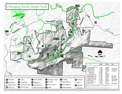
Hanging Rock state park Map
Interior color map of Hanging Rock State Park.
141 miles away
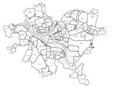
Pittsburgh neighborhoods Map
141 miles away
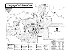
Hanging Rock State Park map
Detailed recreation map for Hanging Rock State Park in North Carolina
141 miles away
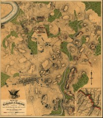
Antietam Battlefield Map
Map of the battlefield of Antietam/Sharpsburg. Shows Union and "Rebel" forces on...
141 miles away
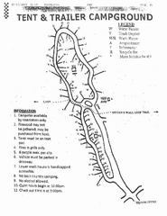
Hanging Rock, campground site map
Hanging Rock State park, map of family campground sites
141 miles away
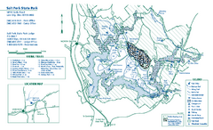
Salt Fork State Park map
Detailed recreation map for Salt Ford State Park in Ohio
141 miles away
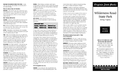
Wilderness Road State Park Map
Clearly marked state park map and legend.
141 miles away
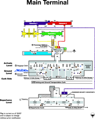
Dulles International Airport Terminal Map
Official Terminal Map of Dulles International Airport. Shows all areas.
141 miles away
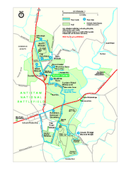
Antietam National Battlefield Official Map
Official NPS map of Antietam National Battlefield in Maryland. Open all year.
142 miles away
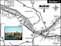
Ohio River at Pittsburgh, PA at the confluence of...
This is a page from the Ohio River Guidebook. The Ohio River begins at this confluence. This map...
142 miles away

Chesapeake & Ohio Canal National Historical...
Official NPS map of Chesapeake & Ohio Canal National Historical Park in Pennsylvania, West...
142 miles away
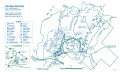
Lake Hope State Park map
Detailed recreation map for Lake Hope State Park in Ohio
142 miles away

