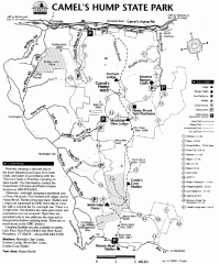
Camel's Hump State Park map
Map of Camel's Hump State Park, Vermont. Shows all hiking, snowmobile, and X-C ski trails...
96 miles away
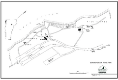
Boulder Beach State Park map
Map of Boulder Beach State Park on Lake Groton in Vermont.
96 miles away
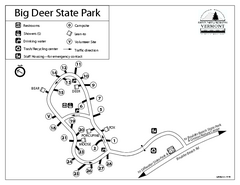
Big Deer State Park map
Campground map for Big Dear State Park in Vermont
96 miles away
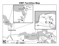
Adirondack Map
Map of Adirondack Park Reserve. Shows Rich Lake Area, Arbutus Area, and the location of the...
97 miles away
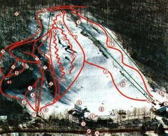
Woodbury Ski Area Ski Trail Map
Trail map from Woodbury Ski Area, which provides downhill, night, nordic, and terrain park skiing...
97 miles away
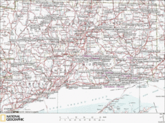
Connecticut Canoeing and Kayaking Lakes Map
A map of the lakes and ponds that are open for canoeing and kayaking in Connecticut. For detailed...
97 miles away
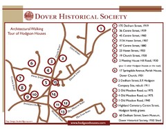
Dover Architectural Walking Map
Architectural walking tour of Hodgson Houses
97 miles away
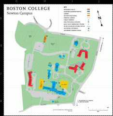
Boston College Newton Campus Map
campus map for Boston College Newton Campus
97 miles away
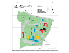
Boston College - Newton Campus Map
Boston College - Newton Campus Map. Shows all buildings.
97 miles away
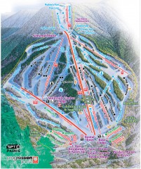
Waterville Valley Ski Trail Map
Official ski trail map of Waterville Valley ski area
97 miles away
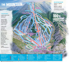
Waterville Valley Ski Trail Map
Trail map from Waterville Valley.
97 miles away
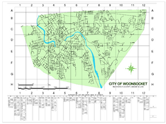
Woonsocket Street Map
Street map of Woonsocket, Rhode Island. Shows street legend.
98 miles away
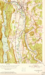
New Milford, Connecticut Map
New Milford, Connecticut topo map with roads, streets and buildings identified
98 miles away
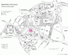
Boston College Chestnut Hill Campus Map
campus map for Boston College's Chestnut Hill Camps
98 miles away
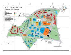
Boston College Main Chestnut Hill Campus Map
The main campus of Boston College, Chestnut Hill. Grid Map with Building Table
98 miles away
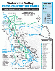
Waterville Valley Nordic Trail Map
Official nordic trail map. Over 70 kilometers (40 + miles) of groomed trails.
98 miles away
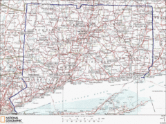
Connecticut State Parks Map
This is statewide map for Connecticut state parks. Go to the source website for detailed hiking...
98 miles away
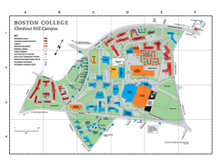
Boston College - Chestnut Hill Campus Map
Boston College - Chestnut Hill Campus Map. Shows all buildings.
98 miles away
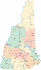
New Hampshire Road Map
Road map of New Hampshire
98 miles away
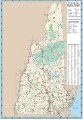
New Hampshire Boating and Fishing Public Access...
Shows public access boating and fishing sites and depth maps for state of New Hampshire
98 miles away
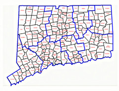
Connecticut Town Map
98 miles away
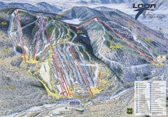
Loon Mountain Ski Trail Map
Official ski trail map of Loon Mountain ski area from the 2007-2008 season.
99 miles away
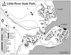
Little River State Park Campground Map
Campground map of Little River State Park in Vermont
99 miles away
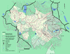
Boxford State Park trail map
Trail map of Boxford State Forest in Massachusetts
99 miles away
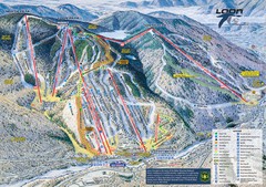
Loon Mountain Ski Trail Map
Trail map from Loon Mountain.
99 miles away
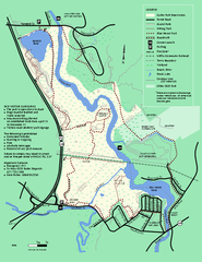
Cutler Park Reservation trail map
Trail map of Cutler Park Reservation in Massachusetts
99 miles away
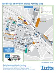
Medford Campus Map
Clear map indicating buildings and parking areas.
99 miles away
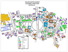
Phillips Exeter Academy Campus Map
Phillips Exeter Academy Campus Map
99 miles away
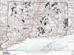
Connecticut State Forests Map
This is a map of all of the state forest boundaries in Connecticut. Follow the source web address...
99 miles away
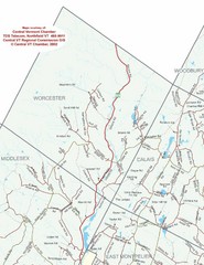
Worcester Town Map
Town map of Worcester, Vermont and surrounding areas
99 miles away
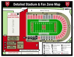
Harvard Stadium Map
Beautiful map of the horse-shoe shaped stadium of Harvard University.
99 miles away

John F. Kennedy School of Government Campus Map
Campus map of the Harvard University John F. Kennedy School of Government in Cambridge...
99 miles away
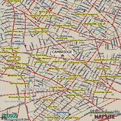
Cambridge, Massachusetts Map
100 miles away
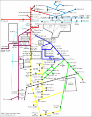
Cambridge Pub Map
100 miles away
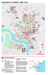
Harvard University campus map
Harvard University campus map
100 miles away
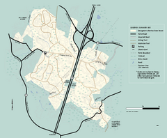
Georgetown-Rowley State Forest summer use map
Summer use map for Georgetown-Rowley State Forest.
100 miles away
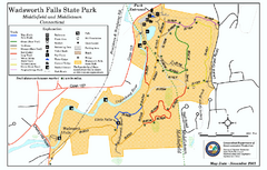
Wadsworth Falls State Park map
Trail map of Wadsworth Falls State Park in Connecticut.
100 miles away
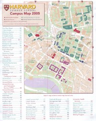
Harvard University Map
Campus map
100 miles away
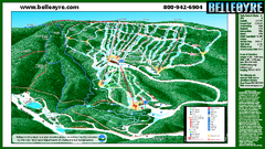
Belleayre Mountain Ski Trail Map
Trail map from Belleayre Mountain.
100 miles away
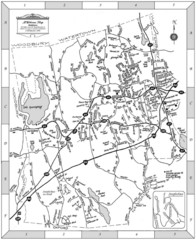
Middlebury, Connecticut Map
100 miles away

