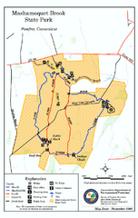
Mashamoquet Brook State Park trail map
Trail map of Mashamoquet Brook State Park in Connecticut.
90 miles away
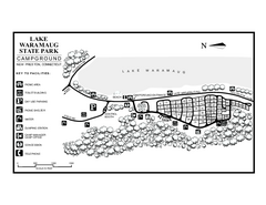
Lake Waramaug State Park campground map
Campground map of Lake Waramaug State Park.
90 miles away
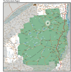
Adirondacks Lakes Map
Guide to lakes and waterways in the Adirondacks Park Preserve
91 miles away
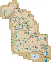
Blackstone Valley tourist map
Tourist map of the Blackston Valley in Rhode Island and Massachusetts. Shows hiking, biking, and...
91 miles away
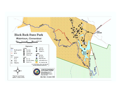
Black Rock State Park trail map
Trail map of Black Rock State Park in Connecticut.
91 miles away
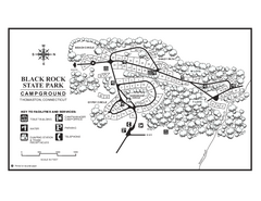
Black Rock Campground map
Map of the Campgrounds in Black Rock State Park.
91 miles away
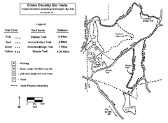
Pulaski State Park Map
91 miles away
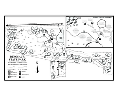
Dinosaur State Park map
Trail map of Dinosaur State Park in Connecticut.
91 miles away
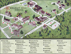
Walnut Hill School Map
Campus Map
92 miles away
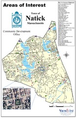
Natick Areas Of Interest Map
Shows points of interest in town of Natick, Massachusetts. Inset of downtown Natick.
92 miles away
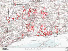
Connecticut Road Cycling Routes Map
A map of road cycling routes throughout Connecticut. Follow the link below for detailed route maps...
92 miles away
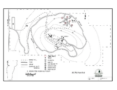
Mt. Philo State Park Campground Map
Campground map for Mt. Philo State Park in Vermont
92 miles away
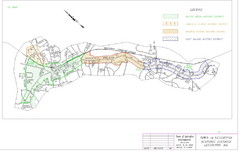
Town of Lexington Historic Districts Map
Identifies the 4 historical districts of Lexington, Massachusetts.
92 miles away
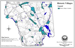
Historic Villages of Mansfield, Connecticut Map
Historical villages outlined on the map of the existing city.
92 miles away
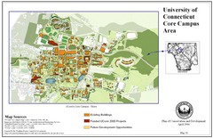
University of Connecticut Campus Map
Map shows current, funded projects and future development for UConn.
92 miles away
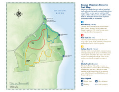
Esopus Meadows Preserve Trail Map
Trail map of Esopus Meadows Preserve park on the Hudson River.
93 miles away
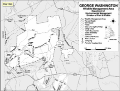
George Washington Wildlife Management Area Map
93 miles away
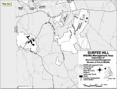
Durfee Hill Wildlife Management Area Map
93 miles away
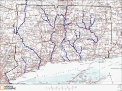
Connecticut Rivers and Coastal Paddling Map
This is a map of paddling areas for rivers and coastal kayaking. Follow the link below for...
93 miles away
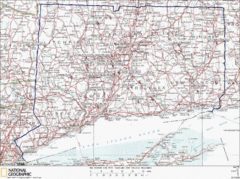
Connecticut Rock Climbing Locations Map
A map of most of the important rock climbing and bouldering areas in Connecticut. Click the link...
93 miles away
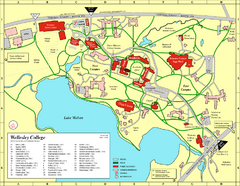
Wellesley College campus map
2008 Wellesley College campus map
94 miles away
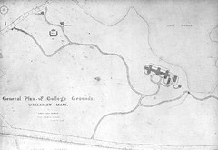
1870s Map of Wellesley College
General plan of college grounds, 1870s.
94 miles away
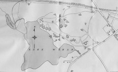
1899 Map of Wellesley College
After College Hall, the original site of Wellesley's faculty, students, classrooms, and...
94 miles away
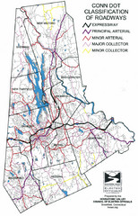
Connecticut Roadway Classification Map
94 miles away
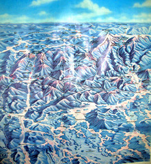
White Mountains New Hampshire Map
Old bird's eye view map of the White Mountain region of New Hampshire by Frank Thomas. Date of...
94 miles away
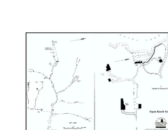
Seyon Lodge State Park Map
Campground map of Seyon Lodge State Park in Vermont
94 miles away
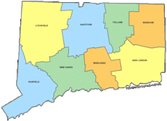
Connecticut Counties Map
94 miles away
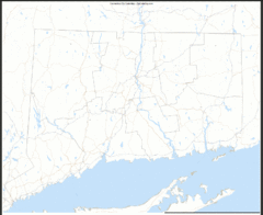
Connecticut Zip Code Map
Check out this Zip code map and every other state and county zip code map zipcodeguy.com.
94 miles away
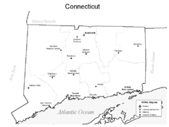
Conneticut Airports Map
94 miles away
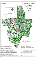
2002 Windham Region Land Use Map
Regional Land Use Guide Map for Planning Purposes
95 miles away
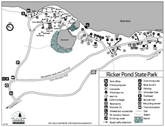
Ricker Pond State Park Campground Map
Campground map of Ricker Pond State Park in Vermont
95 miles away
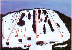
Ski Bradford Ski Trail Map
Trail map from Ski Bradford.
95 miles away
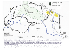
Sprague Farm - Glocester Land Trust Map
95 miles away
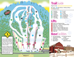
Mt. Southington Ski Area Ski Trail Map
Trail map from Mt. Southington Ski Area, which provides downhill, night, and terrain park skiing...
95 miles away
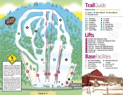
Mount Southington Ski Trail Map
Official ski trail map of Mount Southington ski area from the 2007-2008 season.
95 miles away
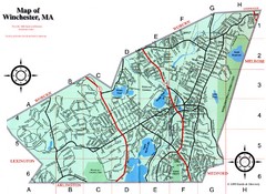
Winchester Town Map
96 miles away
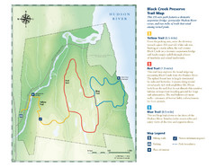
Black Creek Trail Preserve Map
Trail map of Black Creek Preserve on the Hudson River in New York. Shows Yellow Trail, Red Trail...
96 miles away
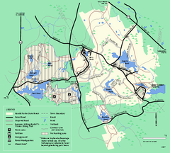
Harold Parker State Forest trail map
Trail map of Harold Parker State Forest in Massachusetts
96 miles away
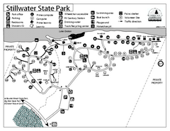
Stillwater State Park Campground Map
Campground map for Stillwater State Park in Vermont
96 miles away
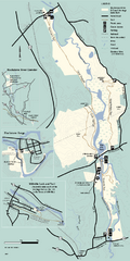
Blackstone Trail Map
Map of Blackstone River State Park in Massachusetts.
96 miles away

