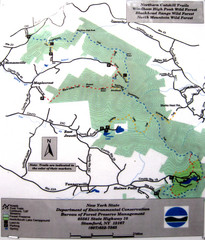
Northern Catskill Trail Map
Trail map shows hiking trails in the northern Catskills of New York. Shows trails in Windham High...
79 miles away
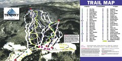
Tenney Mountain Ski Trail Map
Trail map from Tenney Mountain.
79 miles away
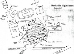
Rockville High School Map
Hand-drawn map of Rockville High School includes all buildings, Parking Lots, and sports fields.
79 miles away
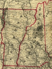
Map of New Hampshire and Vermont 1860
Map of New Hampshire and Vermont, 1860
79 miles away
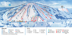
Nashoba Valley Ski Area Ski Trail Map
Trail map from Nashoba Valley Ski Area.
80 miles away
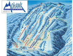
Mohawk Mountain Ski Trail Map
Ski trail map of Mohawk Mountain ski area
81 miles away
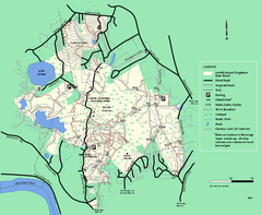
Lowell-Dracut-Tyngsboro State Forest trail map
Trail map for the Lowell-Dracut-Tyngsboro State Forest in Massachusetts
81 miles away

North Mohawk Mountain State Forest (Winter Trails...
Winter trail map for North Mohawk Mountain State Forest in Connecticut.
81 miles away

North Mohawk Mountain State Forest (Summer Trails...
Summer trail map of the North section of Mohawk Mountain State Forest in Connecticut.
81 miles away
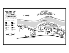
Housatonic State Forest campground map
Campground map of Housatonic State Forest in Connecticut.
81 miles away
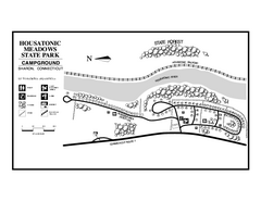
Housatonic Meadows State Park campground map
Campground map for Housatonic Meadows State Park in Connecticut.
81 miles away
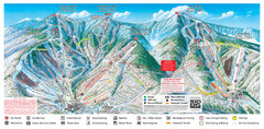
Sugarbush Resort Ski Trail Map
Trail map from Sugarbush Resort.
81 miles away
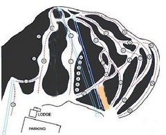
Royal Mountain Ski Trail Map
Trail map from Royal Mountain.
81 miles away

South Mohawk Mountain State Forest (Winter Trails...
Winter trial map for the Southern Section of Mohawk Mountain State Forest in Connecticut.
82 miles away
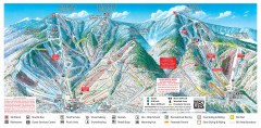
Sugarbush Resort ski trail map 2006-07
Official ski trail map of Sugarbush ski area from the 2006-2007 season.
82 miles away
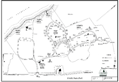
D.A.R. State Park map
Map of D.A.R. State park in Vermont
82 miles away
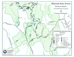
South Mohawk Mountain State Forest (Summer Trails...
Summer trails for South Mohawk State Forest in Connecticut.
82 miles away
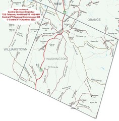
Washington, Vermont Map
83 miles away

Mine Brook Wildlife Management Area Map
83 miles away
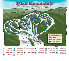
Oak Mountain Ski Center Ski Trail Map
Trail map from Oak Mountain Ski Center.
83 miles away
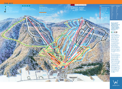
Windham Mountain Ski Trail Map
Trail map from Windham Mountain.
83 miles away
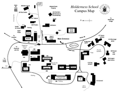
Holderness School Campus Map
A Campus Map of the Holderness School
83 miles away

Wadsworth Athenium Museum Location Map
Wadsworth Athenium visitor location map with locations of major buildings, streets, parks, and...
84 miles away
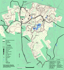
Great Brook Farm State Park trail map
Trail map of Great Brook Farm State Park.
84 miles away
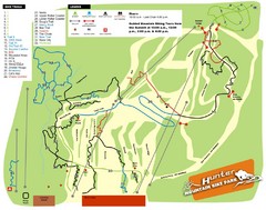
Hunter Mountain Bike Park Map
Map of bike trails in park
84 miles away
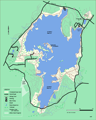
Whitehall State Park trail map
Trail map of Whitehall State Park in Massachusetts.
85 miles away
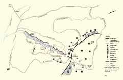
Purgatory Chasm State Reservation trail map
Trail map of Purgatory Chasm State Reservation in Massachusetts.
85 miles away
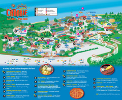
Canobie Lake Park Map
85 miles away
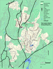
Upton State Forest trail map
Trail map for Upton State Forest in Massachusetts.
85 miles away
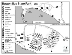
Button Bay State Park Campground Map
Campground map of Button Bay State Park in Vermont
85 miles away
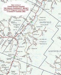
Waitsfield, Vermont City Map
85 miles away
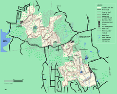
Callahan State Park trail map
Trail map of Callahan State Park in Massachusetts
85 miles away
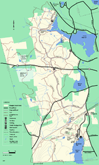
Douglas State Forest trail map
Trail map of the Douglas State Forest in Massachusetts
85 miles away
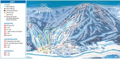
Hunter Mountain ski trail map
Official ski trail map of Hunter Mountain ski area from the 2006-2007 season.
85 miles away
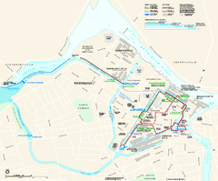
Lowell National Historical Park Official Map
Official NPS map of Lowell National Historical Park in Lowell, Massachusetts. Map shows all of...
85 miles away

Topsmead State Forest map
Trail map for Topsmead State Forest in Connecticut.
85 miles away
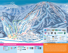
Hunter Mountain Ski Bowl Ski Trail Map
Trail map from Hunter Mountain Ski Bowl.
85 miles away
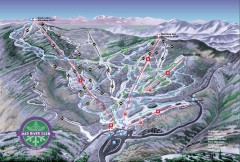
Mad River Glen Ski Area Trail Map
Official ski trail map of Mad River Glen ski area from the 2006-207 season.
86 miles away

Poets Walk Trail Map
Guide to Poet's Walk and Hudson River Overlook
86 miles away
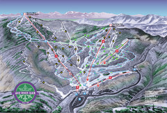
Mad River Glen Ski Trail Map
Trail map from Mad River Glen, which provides downhill skiing. It has 5 lifts servicing 45 runs...
86 miles away

