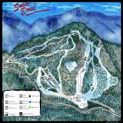
Middlebury Snow Bowl Ski Trail map
Official ski trail map of Middlebury College Snow Bowl ski area.
67 miles away
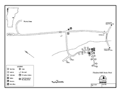
Thetford State Park Campground Map
Campground map for Thetford Hill State Park in Vermont
68 miles away
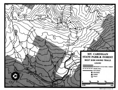
Cardigan State Park map
Topographical map of West Side hiking trails in Cardigan State Park in New Hampshire.
69 miles away
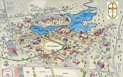
St. Paul's School Campus Map
Campus map of St. Paul's School
69 miles away
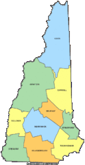
New Hampshire Counties Map
69 miles away
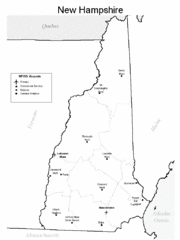
New Hampshire Airports Map
69 miles away
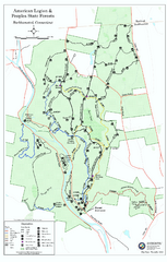
American Legion State Forest trail map
Trail map of American Legion and Peoples State Forests in Connecticut.
70 miles away
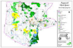
Pepperell Conservation Land and Open Spaces Map
Map showing conservation land and open spaces in Pepperell, MA.
70 miles away
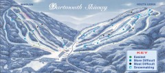
Dartmouth Skiway Trail Map
Official ski trail map of the Dartmouth Skiway. The Skiway is owned by Dartmouth College. Over...
70 miles away
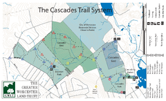
Cascades Park Map
70 miles away
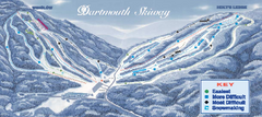
Dartmouth Skiway Ski Trail Map
Trail map from Dartmouth Skiway.
70 miles away
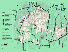
Brimfield State Forest trail map
Trail map of Brimfield State Forest in Massachusetts
70 miles away
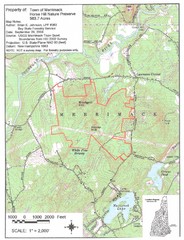
Merrimack Topo Map
A Topographical map Horse Hill Nature Preserve.
71 miles away
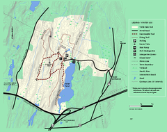
Wells State Park winter trail map
Winter use trail map of Wells State Park in Massachusetts.
71 miles away
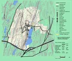
Wells State Park trail map
Trail map of Wells State Park in Massachusetts.
71 miles away
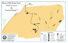
Dennis Hill State Park map
Trail map of Dennis Hill State Park in Connecticut.
72 miles away
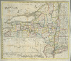
1831 Antique New York State map
The tourist's map of the state of New York : compiled from the latest authorities in the...
73 miles away
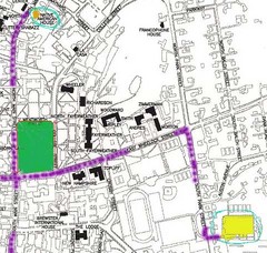
Manchester, New Hampshire City Map
73 miles away
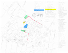
Worcester Polytechnic Institute Campus Map
Map of Worcester Polytechnic Institute. Includes all buildings, parking, streets, and location of...
73 miles away
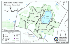
Great Pond State Park trail map
Trail map of Great Pond State Forest in Connecticut.
74 miles away
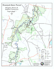
Trail map of Shenipsit State Forest
Trail map of Shenipsit State Forest in Connecticut.
74 miles away
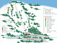
McIntyre Ski Trail Map
Official ski trail map of McIntyre ski area.
74 miles away
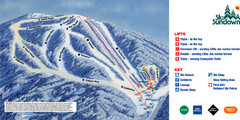
Ski Sundown Ski Trail Map
Trail map from Ski Sundown, which provides downhill and night skiing. It has 5 lifts servicing 15...
75 miles away
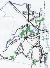
Nashua Parks Map
Map of Nashua, New Hampshire parks
75 miles away
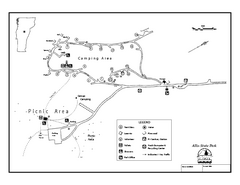
Allis State Park campground map
Campground map of Allis State Park in Vermont.
75 miles away
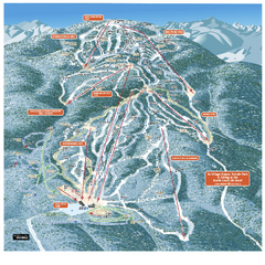
Gore Mountain Ski Trail Map
Trail map from Gore Mountain.
75 miles away
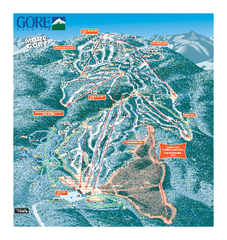
Gore Mountain Ski Trail Map
Trail map from Gore Mountain.
75 miles away
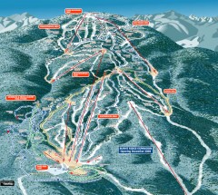
Gore Mountain Ski Trail Map
Official ski trail map of Gore Mountain ski area from the 2007-2008 season.
75 miles away
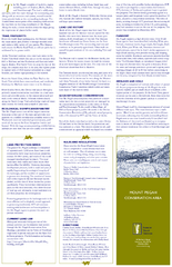
Mt. Pisgah Map - Northboro, Berlin, Boylston Mass
76 miles away
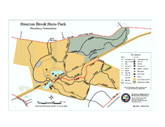
Stratton Brook State Park map
Trail map of Stratton Brook State Park in Connecticut.
76 miles away
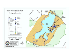
Burr Pond State Park map
Map of Burr Pond State Park in Connecticut.
76 miles away
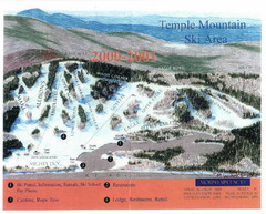
Temple Mountain Last year open—Credited to...
Trail map from Temple Mountain. This ski area opened in 1937.
77 miles away
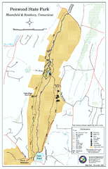
Penwood State Park map
Trail map of Penwood State Park in Connecticut.
77 miles away
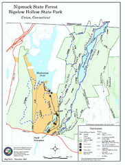
Bigelow Hollow State Park trail map
Trail map of Bigelow Hollow State Park in Connecticut.
77 miles away
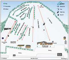
Ski Ward Ski Trail Map
Trail map from Ski Ward.
77 miles away
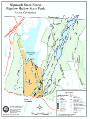
Nipmuck State Forest trail map
Trail map of Nipmuck State Forest and Bigelow Hollow State Park in Connecticut.
77 miles away
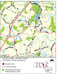
Delaney Conservation Land Map
77 miles away
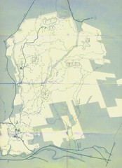
Bear Brook Trails Map
Bear Brook Park Trails and Park map in New Hampshire
78 miles away
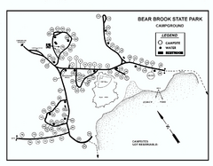
Bear Brook State Park Campground map
Campground map of Bear Brook State Park in New Hampshire
78 miles away
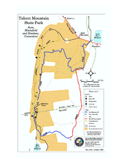
Talcott Mountain State Park map
Trail map of Talcott Mountain State Park in Connecticut.
78 miles away

