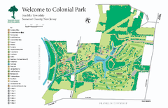
Colonial Park, Somerset, NJ Map
188 miles away
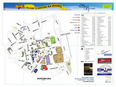
New Brunswick City Map
City map of New Brunswick, New Jersey with tourist information
189 miles away
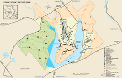
Frances Slocum State Park map
Detailed map of Frances Slocum State Park in Pennsylvania.
190 miles away
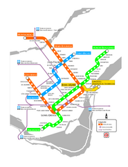
Montreal Metro Map
190 miles away
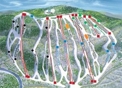
Jack Frost Ski Trail Map
Official ski trail map of Jack Frost ski area from the 2006-2007 season.
190 miles away
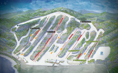
Big Boulder Ski Area Ski Trail Map
Trail map from Big Boulder Ski Area.
192 miles away
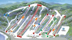
Big Boulder SKi Trail Map
Official ski trail map of Big Boulder ski area from the 2006-2007 season.
192 miles away
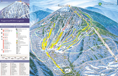
Sugarloaf Ski Trail Map
Trail map from Sugarloaf, which provides downhill, nordic, and terrain park skiing. It has 15 lifts...
193 miles away
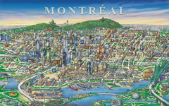
Montreal Downtown pictorial Map
Pictorial illustration of Downtown Montreal
194 miles away

Hickory Run State Park Map
Detailed map of Hickory Run State Park in Pennsylvania.
196 miles away
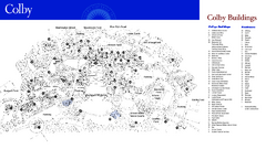
Colby College Campus Map
Official map of the Colby College campus. Colby's campus, on 714 acres overlooking the city...
196 miles away
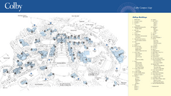
Colby College Campus Map
Official map of the Colby College campus. Colby's campus, on 714 acres overlooking the city of...
196 miles away
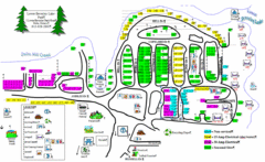
Lower Beverely Park Map
197 miles away
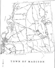
Madison Town Map
197 miles away
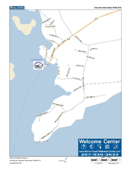
Port Clyde, Maine, USA Map
Maine Coast Welcome Center's local Map of Port Clyde, Me with recommended business locations.
198 miles away
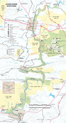
Lehigh Gorge State Park Map
Detailed recreation map for Lehigh Gorge State Park in Pennsylvania
199 miles away
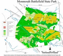
Monmouth Battlefield State Park Map
200 miles away
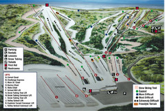
Blue Mountain Ski Area Ski Trail Map
Trail map from Blue Mountain Ski Area.
200 miles away

Beltzville State Park map
Detailed recreation map for Beltzville State Park in Pennsylvania
200 miles away
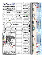
Belmar Tourist Map
Tourist map of Belmar, New Jersey beachfront. Shows beach services.
201 miles away

1978 Bradford County, Pennsylvania Map
202 miles away
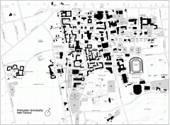
Princeton University Campus Map
Princeton University Campus
202 miles away
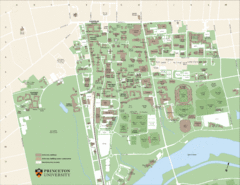
Princeton University Map
Campus map of Princeton University in Princeton, NJ. Shows all buildings
202 miles away

Dining Services at Princeton University Map
202 miles away
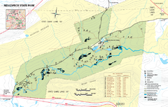
Nescopeck State Park map
Detailed recreation map of Nescopeck State Park in Pennsylvania.
203 miles away

Delaware Canal State Park map
Detailed map of Delaware Canal State Park in Pennsylvania. Long dimension.
203 miles away
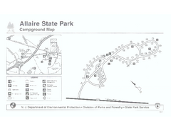
Allaire State Park campground map
Campground map for Allaire State Park in Vermont
204 miles away
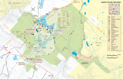
Ricketts Glen State Park map
Detailed recreation map of Ricketts Glen State Park in Pennsylvania
206 miles away
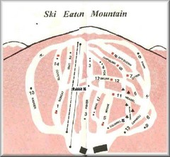
Eaton Mountain Ski Area Ski Trail Map
Trail map from Eaton Mountain Ski Area.
206 miles away
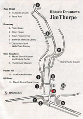
Jim Thorpe Tourist Map
Tourist map of historic Jim Thorpe, Pennsylvania. Scanned from a tourist brochure
206 miles away
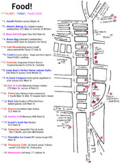
Rockland, Maine Restaurant Map
206 miles away
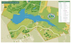
Mercer County Park Map
207 miles away
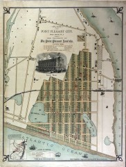
Antique map of Point Pleasant from 1880
Antique map of Point Pleasant, New Jersey from c. 1880.
207 miles away
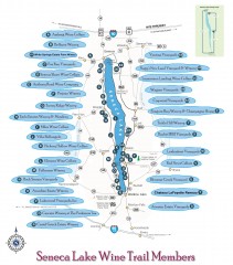
Seneca Lake Wine Trail Map
Winery tour map of Seneca Lake area in New York. Shows all vineyards that are members of the wine...
208 miles away
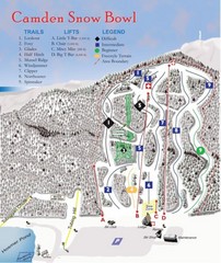
Camden Snow Bowl Ski Trail Map
Trail map from Camden Snow Bowl.
208 miles away
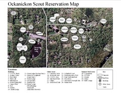
Camp Okanickon Scout Reservation Map
Location Map for Boy Scout Camp in Pennsylvania
208 miles away
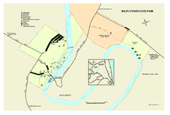
Ralph Stover State Park map
Detailed recreation map for Ralph Stover State Park in Pennsylvania
208 miles away

Mt. Pisgah State Park map
Detailed recreation map for Mt Pisgah State Park in Pennsylvania
209 miles away
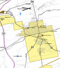
Hazelton Street Map
Clear and descriptive road map.
210 miles away

