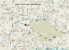
Mount Royal and Surroundings Map
179 miles away
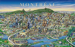
montreal Downtown Map
179 miles away
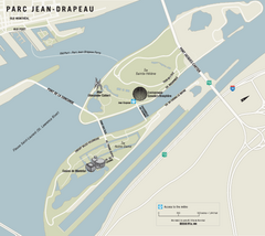
Parc Jean Drapeau Map
Park map of Parc Jean Drapeau in the St. Lawrence River, Montreal
179 miles away
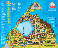
Six Flags La Ronde Theme Park Map
Official Park Map of Six Flags La Ronde Theme Park in Montreal, Quebec.
179 miles away
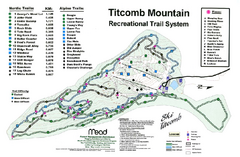
Titcomb Mountain Ski Trail Map
Trail map from Titcomb Mountain.
180 miles away
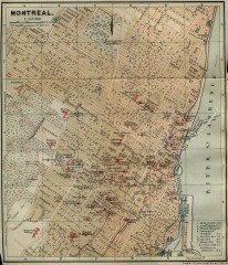
Antique map of Montreal from 1894
"Montreal" from Baedeker, Karl. The Dominion of Canada with Newfoundland and an Excursion...
180 miles away
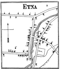
Etna 1897 City Map
Key to the Map of Etna (1897) 1. Mrs. C. Turner. 38. Blacksmith Shop. 2. J. T. Primrose. 39. Houtz...
180 miles away
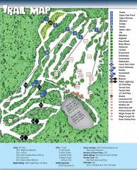
Sno Mountain Ski Trail Map
Official ski trail map of Sno Mountain ski area from the 2007-2008 season.
180 miles away
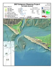
Esther Island Map
DEP Eelgrass map of Esther Island, Nantucket
180 miles away
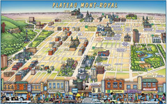
Plateau Mont-Royal Map
Pictorial view of Plateau Mont-Royal
180 miles away
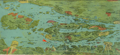
Wellesley Island Illustrated Map
Colorized illustration from "Thousand Islands" viewbook.
180 miles away
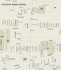
Plateau Mont Royal Map
180 miles away
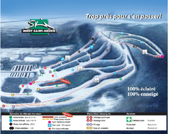
Mont Saint-Bruno Ski Trail Map
Trail map from Mont Saint-Bruno, which provides downhill skiing. This ski area has its own website.
181 miles away
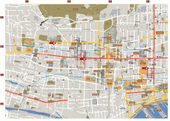
Montreal Downtown Map
Street map of downtown Montreal, Quebec. In French.
181 miles away
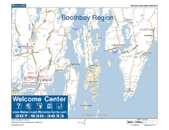
Boothbay Area, Maine, USA Map
Maine Coast Welcome Center's local Map of the Boothbay, Maine area with recommended business...
181 miles away
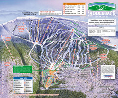
Saddleback Ski Area Ski Trail Map
Trail map from Saddleback Ski Area.
181 miles away
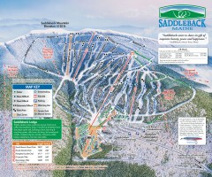
Saddleback Ski Trail Map
Official ski trail map of Saddleback Mountain ski area from the 2006-2007 season.
181 miles away
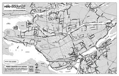
Montreal Bike Route Map
Shows city bike routes. In French.
182 miles away
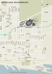
Hochelaga-Maisonneuve Map
182 miles away
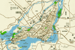
Montreal Tourist Map
182 miles away
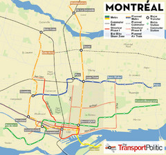
Montreal Tourist Map
182 miles away
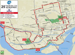
Montreal Tourist Map
182 miles away
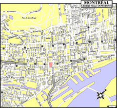
Montreal Tourist Map
182 miles away
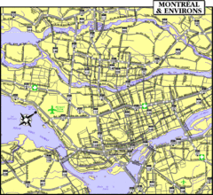
Montreal Tourist Map
182 miles away
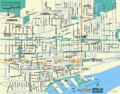
Montreal Tourist Map
182 miles away
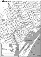
Montreal Tourist Map
182 miles away
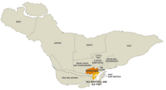
Montreal Neighborhood Map
182 miles away
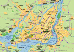
Montreal City Map
City map of Montreal with main roads
182 miles away
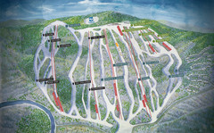
Jack Frost Ski Area Ski Trail Map
Trail map from Jack Frost Ski Area.
183 miles away
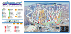
Camelback Ski Trail Map
Ski trail map of Camelback ski area
183 miles away

Big Pocono State Park map
Detailed map for Big Pocono State Park in Pennsylvania.
183 miles away
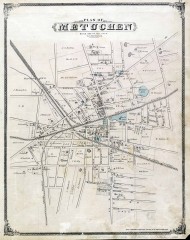
Antique map of Metuchen from 1876
Historic map of Metuchen, New Jersey from 1876
183 miles away
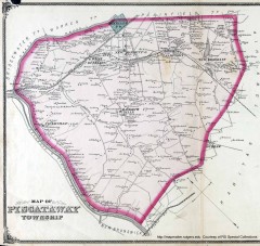
Antique map of Piscataway from 1876
Historic map of Piscataway, New Jersey from 1876.
184 miles away
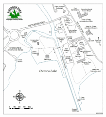
Emerson Park Map
184 miles away
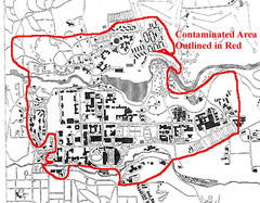
Map of Water contamination at Cornell University...
185 miles away
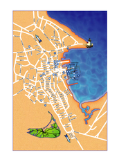
Nantucket Town Street Map
Tourist map of town of Nantucket on Nantucket Island. Shows major streets and points of interest...
185 miles away
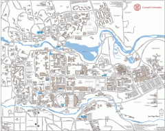
Cornell Campus Map
Map of Cornell University's Ithaca campus
185 miles away

Cornell University Map
185 miles away
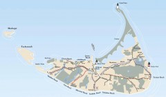
Tourist Map of Nantucket Island
Tourist map of Nantucket Island. Shows all towns and information.
186 miles away
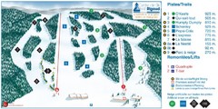
Ski Mont Rigaud Ski Trail Map
Trail map from Ski Mont Rigaud, which provides downhill skiing. This ski area has its own website.
187 miles away

