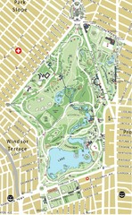
Prospect Park Map
168 miles away
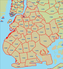
Brooklyn zip codes Map
169 miles away
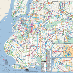
Brooklyn, New York Bus Map
Official MTA Bus Map of Brooklyn, New York. Shows all routes.
169 miles away
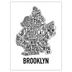
Brooklyn Neighborhood Art Map
Artistic neighborhood map of Brooklyn
169 miles away
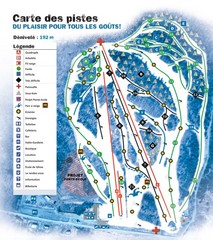
Montjoye Ski Trail Map
Trail map from Montjoye, which provides downhill skiing. This ski area has its own website.
169 miles away

NYC Biking Route Map (Part of Queens, Brookyln...
Official biking route map of part of Queens, Brookyln and Staten Island
169 miles away
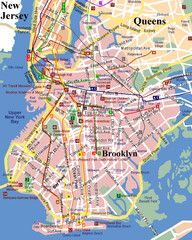
Brooklyn, Attractions Map
169 miles away
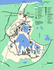
Nickerson State Park trail map
Trail map of Nickerson State Park in Massachusetts.
169 miles away
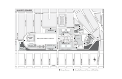
Brooklyn College Campus Map
Brooklyn College Campus Map. All buildings shown.
170 miles away
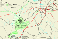
Morristown National Historical Park Official Map
Official NPS map of Morristown National Historical Park in New Jersey. Shows all areas. Tours...
170 miles away
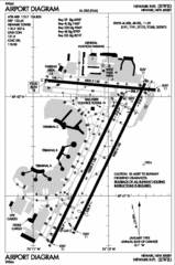
Newark Liberty International Airport Map
170 miles away

Downtown Morriston Map
170 miles away
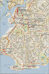
Brooklyn Attractions map
Map of attractions and points of interest in Brooklyn, New York.
170 miles away
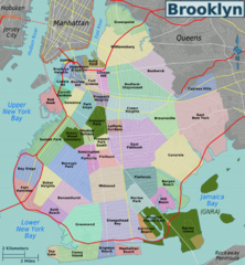
Brooklyn, Neighborhoods Map
170 miles away
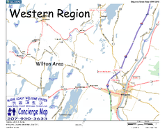
Western Maine, USA Map
Maine Coast Welcome Center's local Map of Western Maine with recommended business locations.
171 miles away
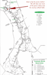
Loantaka Park Map
173 miles away
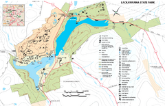
Lackawanna State Park Map
Detailed map of Lackawanna State Park in Pennsylvania.
173 miles away

Lewis Morris Park Trail Map
173 miles away
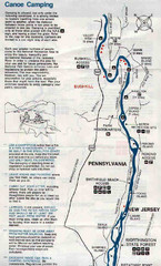
Deleware River Boat Map
173 miles away
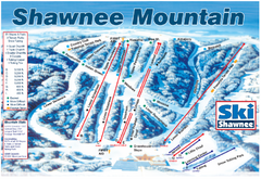
Shawnee Mountain Ski Trail Map
Trail map from Shawnee Mountain.
174 miles away
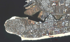
Coney Island Map
Aerial photo Coney Island map
174 miles away
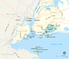
Gateway National Recreation Area Map
Park map of lands in the NPS Gateway National Recreation Area in New York and New Jersey. Shows...
174 miles away
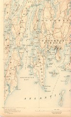
Boothbay Island Map
Topographical map of Boothbay Island and surrounding areas
175 miles away
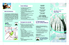
Mont-Bellevue and Nordic Ski Trail Map
Trail map from Mont-Bellevue.
175 miles away
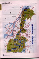
Richelieu River Guide Map
175 miles away

Staten Island Subway/Railway Map
175 miles away
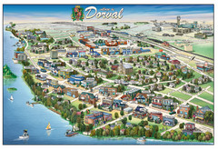
Pictorial map of Dorval
176 miles away
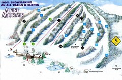
Alpine Mountain Ski Trail Map
Trail map from Alpine Mountain.
176 miles away

Ogdensburg, New York Historical Map
A wonderful highlight are the art reproductions of homes and buildings which surround the map...
176 miles away
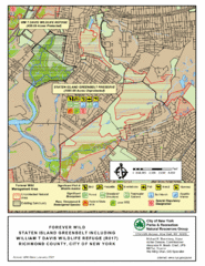
Staten Island Greenbelt Map
176 miles away
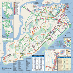
Staten Island Bus Map
Official Bus Map of Staten Island. Shows all routes.
177 miles away
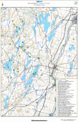
Kennebec Land Trust Map
Map of properties of the Kennebec Land Trust in Maine.
177 miles away
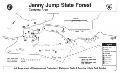
Jenny Jump State Forest map
Trail and camping map of Jenny Jump State Forest in New Jersey.
177 miles away

Marcellus Snowmobile Trail Map
Map of snowmobile trails throughout Marcellus area
177 miles away
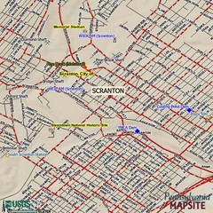
Scranton, Pennsylvania City Map
178 miles away
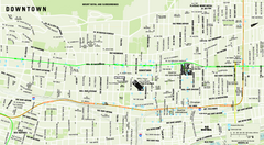
Downtown Montreal Map
Street map of central Montreal. Shows access to the metro and commuter train
178 miles away
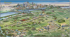
Pictorial map of Brossard
Brossard pictorial map
178 miles away
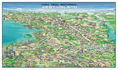
The West-Island Map
Panoramic illustration of High tech business in Montreal's West-Island
178 miles away
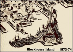
Blockhouse Island Map 1874
Bird’s Eye view map of Brockville created by artist Herman Brosius and the lithographers...
178 miles away
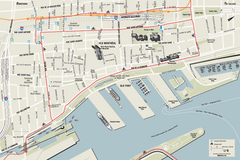
Old Montreal and Old Port Bike Map
Bike route map of Old Montreal and Old Port area
179 miles away

