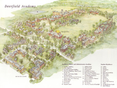
Deerfield Academy Campus Map
Shows buildings and facilities of Deerfield Academy. Scanned.
33 miles away
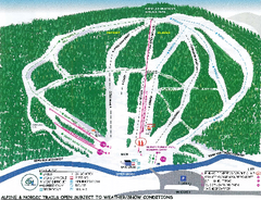
Granite Gorge Ski Trail Map
Trail map from Granite Gorge. This ski area opened in 2005.
33 miles away
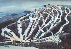
Brodie Ski Trail Map
Trail map from Brodie.
34 miles away
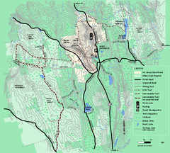
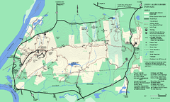
Mt. Grace State Forest trail map
Trail map of Mt. Grace State Forest near Warwick, Massachusetts.
34 miles away
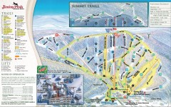
Jiminy Peak Ski Trail Map
Official ski trail map of Jiminy Peak ski area from the 2007-2008 season.
34 miles away
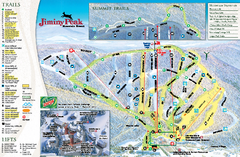
Jiminy Peak Resort Ski Trail Map
Trail map from Jiminy Peak Resort.
34 miles away
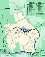
Erving Summer trail map
Summer use map of Erving State Park in Massachusetts.
36 miles away
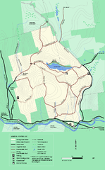
Erving State Park winter use map
Winter use map of the Erving State Park in Massachusetts
36 miles away
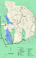
DAR State Forest winter map
Winter use map of the Daughters of the American Revolution State Forest.
37 miles away
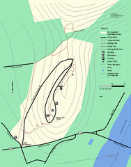
Mt. Sugarloaf State Reservation trail map
Trail map of Mount Sugarloaf State Reservation
37 miles away
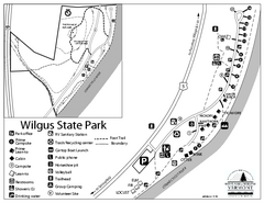
Wilgus State Park Campground Map
Campground map for Wilgus State Park in Vermont
39 miles away
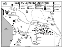
Lake St. Catherine State Park Campground Map
Campground map of St. Catherine State Park in Vermont
39 miles away
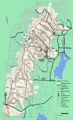
Pittsfield State Forest winter trail map
Winter use trail map of Pittsfield State Forest in Massachusetts.
39 miles away
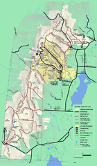
Pittsfield State Forest summer trail map
Summer use trail map of Pittsfield State Forest in Massachusetts.
39 miles away
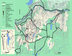
Wendell State Forest trail map
Trail map of Wendell State Forest in Massachusetts.
39 miles away
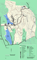
DAR State Forest summer map
Summer use map of the Daughters of the American Revolution state forest.
39 miles away
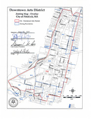
Pittsfield,, Massachusetts City Map
40 miles away
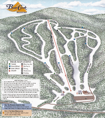
Bear Creek Mountain Club Ski Trail map
Official ski trail map of Bear Creek Mountain ski area.
40 miles away
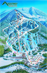
Ascutney Mountain Ski Trail Map 2006-07
Official ski trail map of Ascutney ski area from the 2006-2007 season.
41 miles away
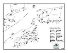
Coolidge State Park Campground Map
Campground map of Coolidge State Park in Vermont
41 miles away
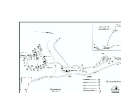
Ascutney State Park map
Campground map of Ascutney State Park in Vermont
41 miles away
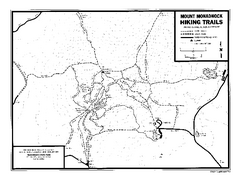
Mount Monadnock State Park Map
Official hiking map of the park. With its thousands of acres of protected highlands, 3,165-ft...
41 miles away
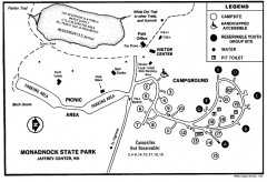
Monadnock State Park map
Campground map of Monadnock State Park in New Hampshire
42 miles away
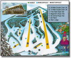
Bousquet Ski Area Ski Trail Map
Trail map from Bousquet Ski Area.
42 miles away
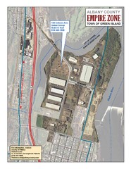
Green Island Map
Aerial town map of Green Island, New York on the Hudson River
42 miles away

Camp Morgan Trail Map
43 miles away
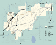
Windsor State Forest trail map
Trail map of Windsor State Forest in Massachusetts.
43 miles away
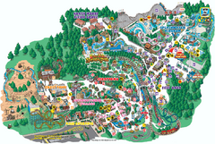
Six Flags Great Escape Theme Park Map
Official Park map of Six Flags Great Escape Theme Park in Lake George, NY.
44 miles away
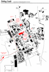
University of Massachusetts Amherst Parking Map
Map of the University of Massachusetts. Includes all buildings, streets, and parking information.
44 miles away
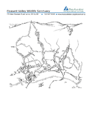
Pleasant Valley Wildlife Sanctuary Trail Map
Trail map of Pleasant Valley Wildlife Sanctuary
44 miles away
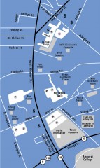
Downtown Amherst, Massachusetts Map
Tourist map of downtown Amherst, Massachusetts, showing attractions, government buildings, atms...
45 miles away
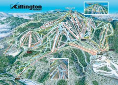
Killington Ski Trail Map
Official ski trail map of Killington ski area.
45 miles away
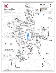
University of Massachusetts - Amherst Map
Campus Map of the University of Massachusetts - Amherst. All buildings shown.
45 miles away
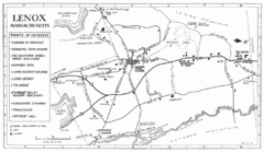
Lenox Town Map
Hand-drawn town map of Lenox, Mass. Bordered by Lenox Mountain and October Mountain. Shows points...
45 miles away
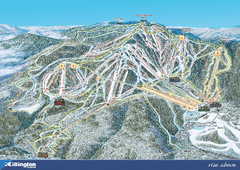
Killington Ski Trail Map 2008
Ski trail map of Killington ski area as of 2008
46 miles away
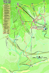
Killington Hiking Trail Map
Hiking trail map of Killington Ski Area summer trails. Shows life zones and geologic features.
46 miles away
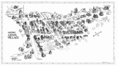
Lenox Village Map
Hand-drawn village map of historic center of Lenox, Massachusetts
46 miles away
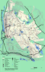
October Mountain State Forest trail map
Trail map of October Mountain State Forest in Massachusetts.
46 miles away

Killington Ski Trail Map
Guide to Killington area ski trails
47 miles away

