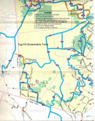
Tug Hill Trail Map
Tug Hill Area Snow Mobile Trail Map
144 miles away
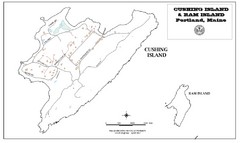
Cushing Island Map
Also shows Ram Island
144 miles away
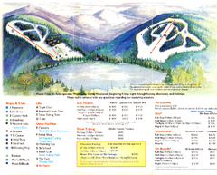
Mount Tone Ski Trail Map
Trail map from Mount Tone.
144 miles away
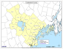
Cumberland County Map
Map showing all city divisions of Cumberland County, Maryland with specific location of the CPCOG.
145 miles away
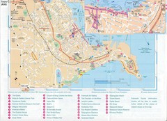
Falmouth Map
Map of Falmouth town and bay. Includes roads, parks, accommodations and attractions.
145 miles away

Sunday River Ski Trail map 2006-07
Official ski trail map of Sunday River ski area from the 2006-2007 season.
145 miles away
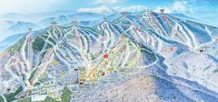
Sunday River Ski Resort Ski Trail Map
Trail map from Sunday River Ski Resort.
145 miles away
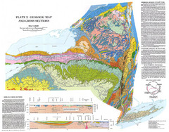
New York State Geologic Map
1:1,000,000 scale geological map of New York State
146 miles away
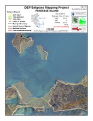
Penekese Island Eelgrass Map
147 miles away
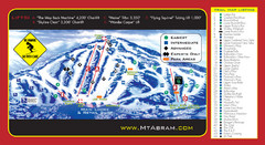
Mt. Abram Ski Resort Ski Trail Map
Trail map from Mt. Abram Ski Resort.
147 miles away

Hidden Valley Ski Trail Map
Trail map from Hidden Valley.
147 miles away
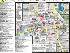
Huntington, New York Restaurant Map
147 miles away

Mountain Creek South Ski Trail Map
Trail map from Mountain Creek.
148 miles away
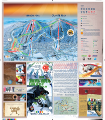
Mountain Creek North Ski Trail Map
Trail map from Mountain Creek.
148 miles away
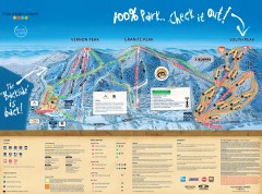
Mountain Creek Ski Trail Map
Official ski trail map of Mountain Creek ski area from the 2007-2008 season. (formerly Vernon...
149 miles away
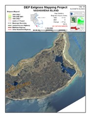
Nashawena Island Eelgrass Map
149 miles away
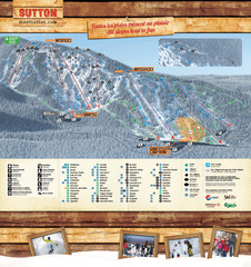
Mont Sutton Trail map
149 miles away
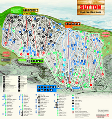
Mont Sutton Ski Trail Map
Trail map from Mont Sutton, which provides downhill skiing. This ski area has its own website.
149 miles away
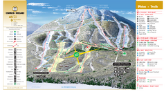
Owl’s Head Ski Trail Map
Trail map from Owl’s Head, which provides downhill skiing. This ski area has its own website.
149 miles away
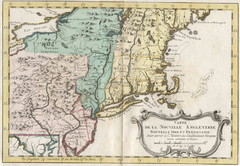
1773 New England Map
French map of New England
149 miles away
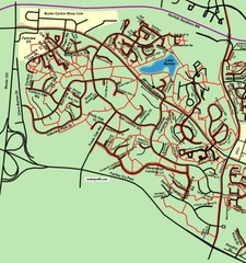
Burke Centre Area Trail Map
149 miles away

Ski Big Bear Ski Trail Map
Trail map from Ski Big Bear.
150 miles away
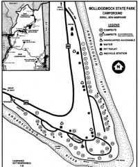
Mollidgewock State Park map
Campground map of Mollidgewock State Park in New Hampshire.
151 miles away
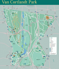
Van Cortlandt Park Trail Map
Trail map of Van Cortlandt Park in the Bronx. Covers 573 acres.
152 miles away
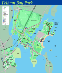
Pelham Bay Park NYC Map
Official detailed map of Pelham bay park, the largest park in New York City at 2,700 acres. Map...
152 miles away
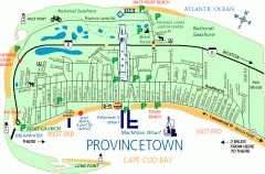
Provincetown, Massachusetts Map
Tourist map of Provincetown, Massachusetts. Shows beaches, visitor's center, bike trails, and...
152 miles away
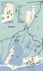
Waquoit Bay National Estuarine Research Preserve...
Trail map of Waquoit Bay National Estuarine Research Preserve in Massachusetts.
152 miles away
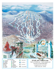
The Balsams—Wilderness Ski Trail Map
Trail map from The Balsams—Wilderness.
153 miles away

City Island Street Map
Street map of City Island, New York
153 miles away
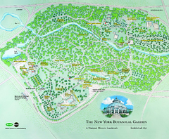
The New York Botanical Garden Map
Official Map of The New York Botanical Garden in New York. Shows all areas and different gardens.
154 miles away
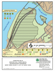
Inwood Hill Park Map
Park map of Inwood Hill Park in the Shorakapok Preserve, New York. 136 acres.
154 miles away
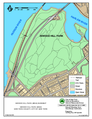
Inwood Hill Park Trail Map
Trail map of Inwood Hill Park located at the extreme northern tip of Manhattan. 136 acres.
154 miles away
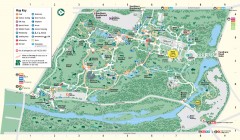
Bronx Zoo Map
Bronx Zoo. The Zoo is open 365 days a year. "Now through November 4, 2007, our hours are 10...
154 miles away
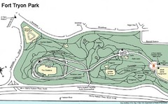
Fort Tyron Park Map
155 miles away
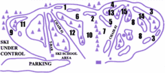
Lost Valley Ski Area Ski Trail Map
Trail map from Lost Valley Ski Area.
155 miles away
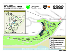
Highbridge Park mountain bike trail map
Mountain biking trail network opened in May 2007. Only mountain biking trails in Manhattan. 25...
155 miles away
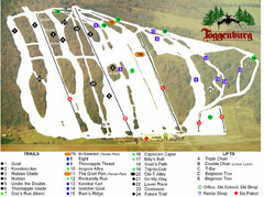
Toggenburg Ski Center Ski Trail Map
Trail map from Toggenburg Ski Center.
155 miles away

New York State Fairgrounds Map
156 miles away
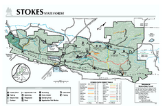
Stokes State Forest map
Trail map of Stokes State Park in New Jersey.
156 miles away
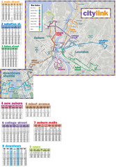
Citylink Route Map
Map of citylink bus routes throughout Auburn and Lewiston, Maine
156 miles away

