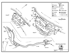
Maidstone State Park Campground Map
Campground map of Maidstone Lake State Park in Campground
133 miles away
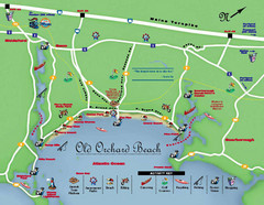
Old Orchard Beach Tourist Map
133 miles away
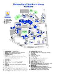
University of Southern Maine - Gorham Map
133 miles away
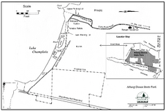
Alburg Dunes State Park map
Map of Alburg Dunes State Park in Vermont.
133 miles away
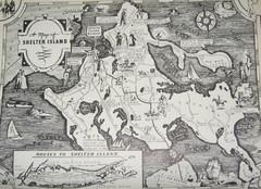
Shelter Island Map
Old Shelter Island map circa 1930s
134 miles away
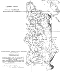
Frye Island Archaeological Map
134 miles away
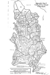
Frye Island Watershed Boundary Map
134 miles away
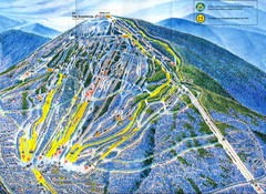
Sugarloaf Trail Map
Ski trail map of Sugarloaf mountain
134 miles away

Olympic Scenic Byway Map
Overview map showing the length of the Olympic Scenic Byway, which runs from Lake Ontario (Sackett...
135 miles away
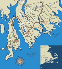
Southeastern New England Wine Trail Map
Map of the Southeastern New England Wine Trail, showing all vineyards and wineries that are members...
135 miles away
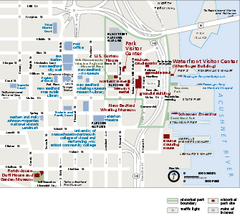
New Bedford Whaling National Historical Park...
Official NPS map of New Bedford Whaling National Historical Park in Massachusetts. Map shows all...
136 miles away

Tuxedo Ridge Ski Trail Map
Trail map from Tuxedo Ridge.
137 miles away
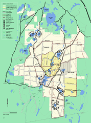
Myles Standish State Forest trail map
Summer trail map for Myles Standish State Forest.
137 miles away
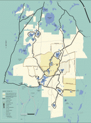
Myles Standish State Forest winter trail map
Winter activity map of all the trails and roads in Myles Standish State Park, MA. Cross country...
137 miles away
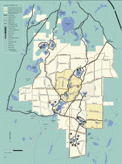
Myles Standish State Forest summer trail map
Map of all the trails and roads in Myles Standish State Park, MA. 15 miles of bicycle trails, 35...
137 miles away
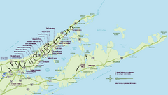
Long Island Wineries Map
Map of LIWC member wineries offering wine tastings to the public.
137 miles away
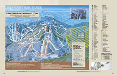
Jay Peak Ski Trail Guide Map
Official ski trail map of Jay Peak ski area from the 2006-207 season.
137 miles away
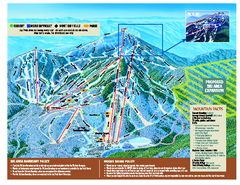
Jay Peak Ski Trail Map
Trail map from Jay Peak.
138 miles away
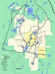
Myles Standish State Forest Winter trail map
Myles Standish State Forest winter use trail map.
138 miles away
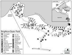
Brighton State Park map
Campground map of Brighton State Park in Vermont
138 miles away
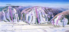
Snow Ridge Ski Trail Map
Trail map from Snow Ridge.
138 miles away
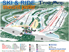
Mt. Peter Ski Area Ski Trail Map
Trail map from Mt. Peter Ski Area.
138 miles away
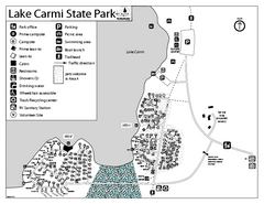
Lake Carmi State Park Campground Map
Capground of Lake Carmi State Park in Vermont
138 miles away
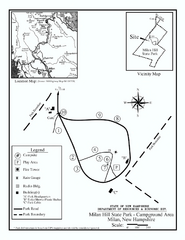
Milan Hill State Park Campground map
Campground map for Milan Hill State Park in New Hampshire.
139 miles away

Eastern Long Island Placemat map
Photo of a placemat map from Gosman's Dock Restaurant in Montauk, NY. Shows eastern Long...
139 miles away
Appalachian National Scenic Trail Map
Scenic trail Maine to Georgia
140 miles away
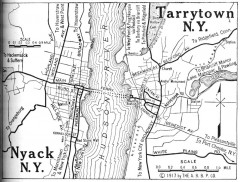
Antique map of Nyack and Tarrytown from 1917
Map of Nyack and Tarrytown, NY from Automobile Blue Book, 1917, Vol. 3
140 miles away
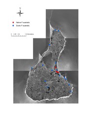
Native and Exotic Phragmites on Block Island Map
140 miles away
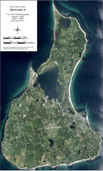
Block Island Aerial Map
Aerial map of Block Island, RI (New Shoreham, RI). True color orthophotography from August 2006.
141 miles away
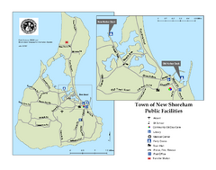
Block Island Road Map
Shows roads and major facilities on Block Island, RI (New Shoreham)
141 miles away

University of Southern Maine - Portland Map
141 miles away
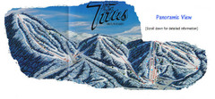
Titus Mountain Ski Trail Map
Trail map from Titus Mountain.
141 miles away

Urban Neighborhood Map: Long Island Map
This Urban Neighborhood Poster of Long Island is a modern twist on traditional maps. The typography...
141 miles away
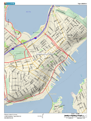
Portland, Maine City Map
141 miles away
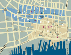
Portland, Maine Tourist Map
142 miles away
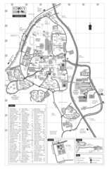
Stony Brook University Map
142 miles away
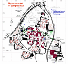
University of New York at Stony Brook Campus Map
143 miles away
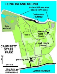
Caumsett State Park Map
Park map of Caumsett State Park on Long Island Sound, New York
144 miles away


