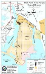
Bluff Point State Park map
Trail map for Bluff Point State Park and Coastal Reserve.
122 miles away
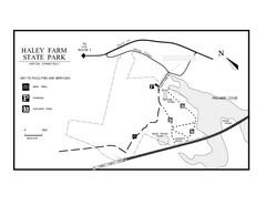
Haley Farm State Park map
Trail map of Haley Farm State Park in Connecticut.
122 miles away
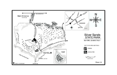
Silver Sands State Park map
Trail and campground map of Silver Sands State Park in Connecticut.
122 miles away
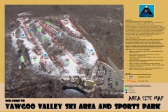
Yawgoo Valley Ski Trail map
Map of Yawgoo Valley Ski area in Exeter, Rhode Island. It is the only skiing resort in Rhode...
122 miles away
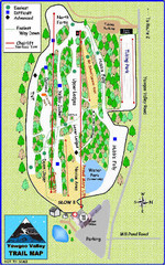
Yawgoo Valley Ski Area Ski Trail Map
Trail map from Yawgoo Valley Ski Area.
122 miles away
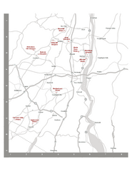
Shawangunk Wine Trail Map
Map of the Shawangunk Wine Trail on the Hudson River in New York. Shows all vineyards and wineries...
122 miles away
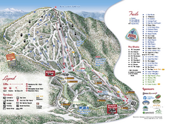
Burke Mountain Ski Trail Map
Official ski trail map of Burke Mountain ski area.
123 miles away
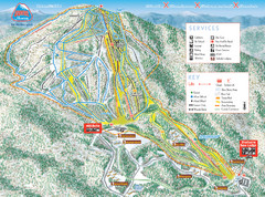
Burke Mountain Ski Trail Map
Trail map from Burke Mountain.
123 miles away
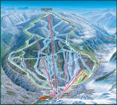
Wildcat Ski trail Map
Official ski trail map of Wildcat ski area
123 miles away
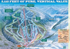
Wildcat Mountain Ski Trail Map
Trail map from Wildcat Mountain.
123 miles away
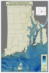
Rhode Island Shaded Bathymetry Map
Bathymetric map of Rhode Island with Narrangansett Bay and Rhode Island Sound. Graduated...
123 miles away
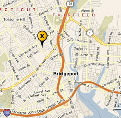
Bridgeport, Connecticut City Map
123 miles away
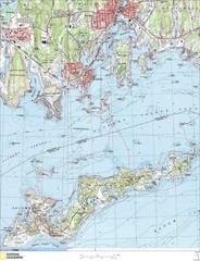
Fishers Island Map
In Long Island Sound
124 miles away
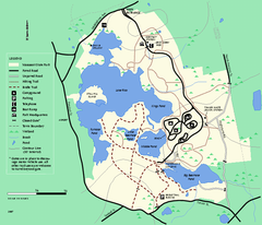
Massasoit State Park trail map
Trail map of Massasoit State Park in Massachusetts
124 miles away
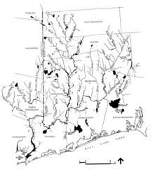
Rhode Island Coastal Watershed Map
Paddling Guide of Pawcatuck River Watershed
124 miles away
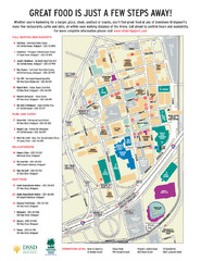
Arena at Harbor Yard Restaurants Map
List of many delicious restaurants and eateries.
125 miles away
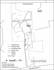
Parker Farm Trail Map
125 miles away
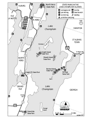
State Parks of the Champlain Islands Map
Map of the various State Parks of the Inland Sea / Lake Champlain area in Vermont
125 miles away
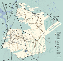
Freetown-Fall River State Forest trail map
Trail map of Freetown-Fall River State Forest in Massachusetts
125 miles away
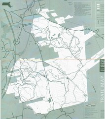
Freetown State Forest Map
Freetown State Forest Map showing mountain biking trails
126 miles away
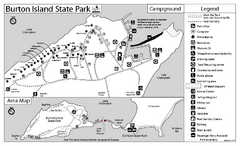
Burton Island State Park map
Campground map of Burton Island State Park in Vermont
126 miles away
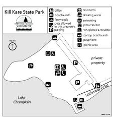
Kill Kare State Park map
Campground map of Kill Kare State park in Vermont
127 miles away
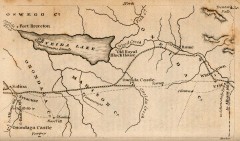
Antique map of Utica, NY from 1830
Map of Utica, NY from The Northern Traveller, and Northern Tour; with the Routes to The Springs...
127 miles away
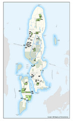
Conanicut Island Land Trust Map
Shows 430 acres of property on Conanicut Island, RI stewarded by the Conanicut Island Land Trust
127 miles away
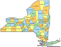
New York Counties Map
127 miles away
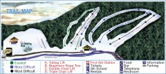
Holiday Mountain Ski Trail Map
Official ski trail map of Holiday Mountain ski area
127 miles away
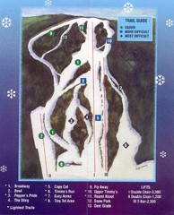
Woods Valley Ski Area Ski Trail Map
Trail map from Woods Valley Ski Area.
127 miles away
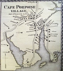
Cape Porpoise Village Map
127 miles away
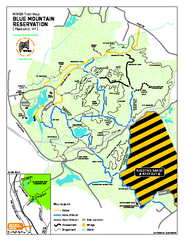
Blue Mountain Reservation Mountain Bike Trail Map
Mountain biking map of the Blue Mountain Reservation from the Westchester Mountain Biking...
128 miles away
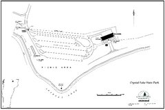
Crystal Lake State Park Map
Trail map of Crystal Lake State Park in Vermont
128 miles away
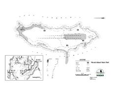
Woods Island State Park Campground Map
Campground map of Woods Island State Park in Vermont
128 miles away
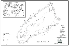
Knight Island State Park Campground Map
Map of Knight Island State Park in Vermont
129 miles away
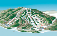
Shawnee Peak Ski Trail Map
Trail map from Shawnee Peak.
129 miles away
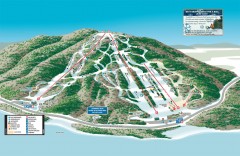
Shawnee Peak Ski Trail Map
Official ski trail map of Shawnee Peak ski area.
129 miles away
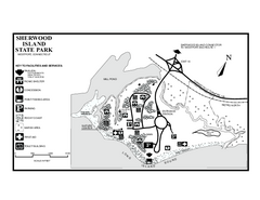
Sherwood Island State Park map
Trail and campground map of Sherwood Island State Park in Connecticut.
130 miles away
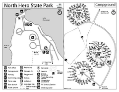
North Hero State Park Campground Map
Campground map of North Hero in Vermont
130 miles away
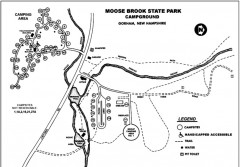
Moose Brook State Park map
Campground map of Moose Brook State Park in New Hampshire.
130 miles away
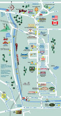
Mt. Washington Valley Restaurant Guide Map
Restaurants in Mt. Washington Valley, New Hampshire
131 miles away
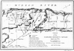
Harlem Hieghts Affair Map
Topography of the field during the battle on Sept 16 1776
132 miles away
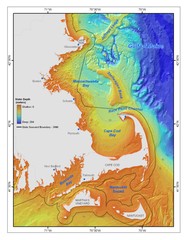
Massachusetts Bay sea floor Map
132 miles away

