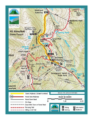
Smugglers Notch Trail Map
Trail map for Smugglers Notch State Park in Vermont
108 miles away
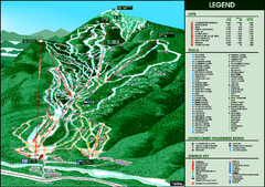
Whiteface Mountain—Lake Placid Ski Trail Map
Trail map from Whiteface Mountain—Lake Placid.
108 miles away
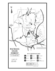
Pachaug State Forest map
Trail map of Pachaug State Forest in Connecticut.
109 miles away
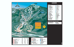
Whiteface Ski Trail Map
Official ski trail map of Whiteface 2006-2007 season.
109 miles away

Cockaponset State Forest South Section trail map
Trail map for the South Section of Cockaponset State Forest in Connecticut.
109 miles away
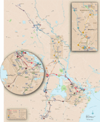
New Hampshire Transit Map
Guide to COAST and Wildcat Transit lines in New Hampshire
109 miles away
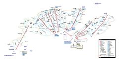
Stowe Mountain Resort Ski Trail Map
Trail map from Stowe Mountain Resort, which provides downhill, nordic, and terrain park skiing. It...
109 miles away
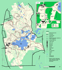
Borderland State Park trail map
Trail map of Borderland State Park in Massachusetts
109 miles away
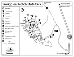
Smugglers Notch State Park Campground Map
Campground map of Smugglers Notch State Park in Vermont
109 miles away
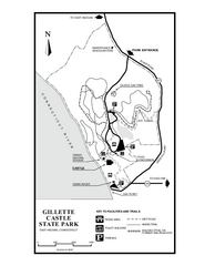
Gillette State Park trail map
Trail map of Gillette Castle State Park in Connecticut.
109 miles away
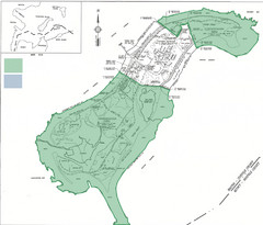
Thompson Island Easement Map
Map of Thompson Island easement. Includes roads, buildings, trails and attractions as well as the...
109 miles away
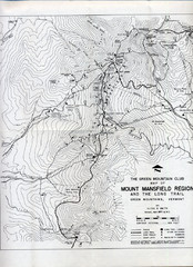
Mount Mansfield Map
Long Trail map for Green Mountains in Vermont
109 miles away
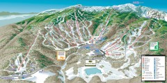
Stowe ski trail map 2006-07
Complete ski trail map of Stowe Mountain resort for 2006-2007 season.
110 miles away
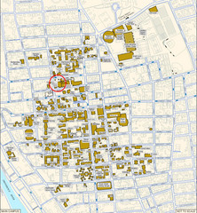
Providence, Rhode Island City Map
110 miles away
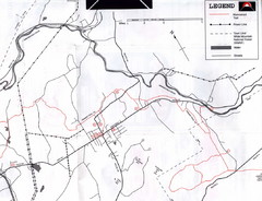
Bethlehem NH Snowmobile Trail Map
Snowmobile trail map of the Bethlehem, NH area along the Ammonoosuc River. Mount Agassiz Trail...
110 miles away
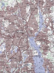
Providence Topo Map
Topo map of Providence, East Providence, Cranston, and Pawtucket, RI. Original scale 1:50,000
110 miles away
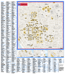
Brown University Campus Map
Official campus map of Brown University.
110 miles away
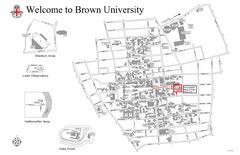
Brown University Map
110 miles away
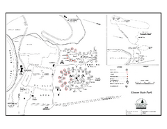
Elmore State Park map
Campground map of Elmore State Park in Vermont
110 miles away
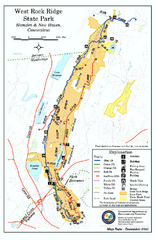
West Rock Ridge State Park map
Trail map of West Rock Ridge State Park in Connecticut.
110 miles away
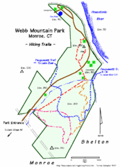
Webb Moutain Park Map
111 miles away
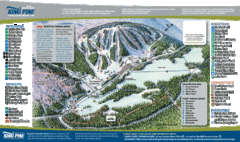
King Pine Ski Area Ski Trail Map
Trail map from King Pine Ski Area.
111 miles away
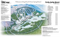
King Pine Ski trail Map
Official ski trail map of King Pine ski area from the 2006-2007 season.
111 miles away
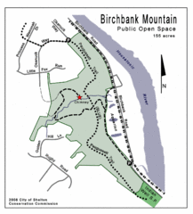
Birchbank Park Map
111 miles away
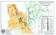
Chatfield Hollow State Park map
Trail map of Chatfield Hollow State Park
111 miles away
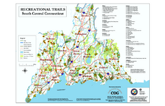
South Central Connecticut Recreational Trail Map
Map of South Central Connecticut showing all recreational trails and open spaces.
112 miles away
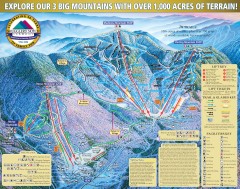
Smugglers' Notch Ski Trail map 2006-07
Official ski trail map of Smugglers' Notch (Smuggs) ski area from the 2006-2007 season.
112 miles away
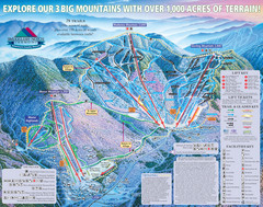
Smugglers’ Notch Resort Ski Trail Map
Trail map from Smugglers’ Notch Resort.
112 miles away
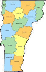
Vermont Counties Map
112 miles away
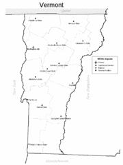
Vermont Airports Map
112 miles away
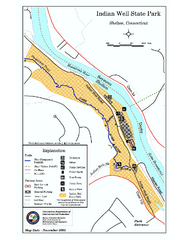
Indian Well State Park map
Trail map for Indian Well State Park in Connecticut.
112 miles away
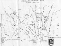
Arcadia Management Area State Map
Trail map for Arcadia Management Area in Rhode Island
112 miles away
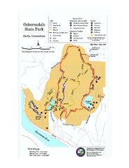
Osbornedale State Park map
Trail map of Osborndale State Park in Connecticut.
113 miles away
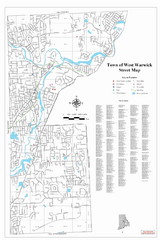
West Warwick Town Map
Street map of W. Warwick
113 miles away
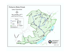
Nehantic State Forest map
Trail map of Nehantic State Forest in Connecticut.
113 miles away
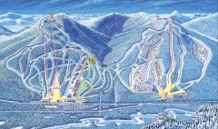
Attitash Bear Peak Ski Trail Map
Official ski trail map of Attitash and Bear Peak ski area from the 2006-2007 season.
114 miles away
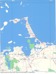
Hull Town Map
114 miles away
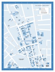
Yale University Campus North Map
Yale University Campus Map - North Campus, including School of Forestry & Environmental Studies...
114 miles away
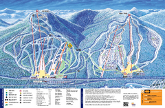
Attitash Ski Trail Map
Trail map from Attitash, which provides downhill skiing.
114 miles away
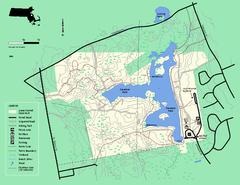
Ames Nowell State Park Map
Trail map of Ames Nowell State Park in Massachusetts
114 miles away

