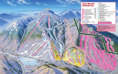
Cannon Mountain Ski Trail Map
Trail map from Cannon Mountain.
103 miles away
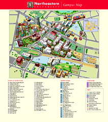
Northeastern University Map
Northeastern University Campus Map. All areas shown.
103 miles away
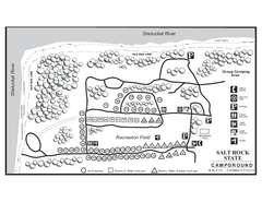
Salt Rock State Park campground map
Campground Map of Salt Rock State Campground in Connecticut.
103 miles away
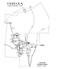
Onteora District Map
Boy Scouts Map of Onteora
103 miles away
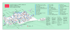
Boston University Medical Campus and Boston...
Boston University Medical Campus and Boston Medical Center area map. All buildings shown.
103 miles away
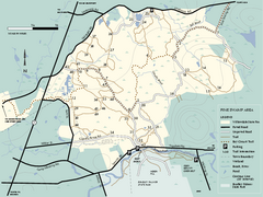
Willowdale State Forest map of Pine Swamp
Trail map of the Pine Swamp area of Willowdale State Park in Massachusetts.
104 miles away
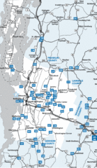
Chittenden County Map
104 miles away
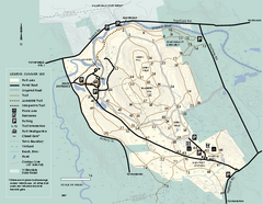
Bradley Palmer State Park summer map
Summer use map of Bradley Palmer State Park in Massachusetts
104 miles away
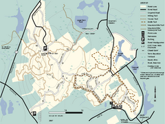
F. Gilbert Hills State Forest trail map
F. Gilbert Hills State Forest trail map in Massachusetts.
104 miles away
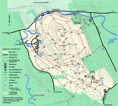
Bradley Palmer State Park winter map
Winter trail map of Bradley Palmer State Park.
104 miles away
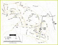
Trapp Ski Center Trail Map
Map of trails in the ski center at the Trapp Family Lodge
104 miles away
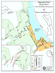
Squantz Pond State Park map
Trail and campground map for Squantz Pond State Park in Connecticut.
105 miles away
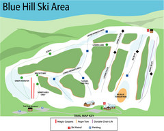
Blue Hills Ski Area Ski Trail Map
Trail map from Blue Hills Ski Area.
105 miles away
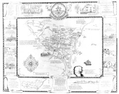
Hampton, New Hampshire Historical Map
Historical map of Hampton, New Hampshire. Illustrated map includes roads and historical buildings.
105 miles away
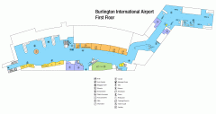
Burlington International Airport Terminal Map
Official Terminal Map of Burlington International Airport. All areas shown.
105 miles away
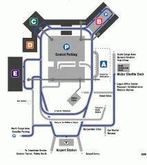
Boston/General Edward Lawrence Logan...
Terminal map of Boston/General Edward Lawrence Logan International Airport. Shows all areas.
105 miles away
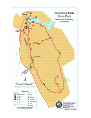
Southford Falls State Park map
Trail map for Southford Falls State Park in Connecticut.
105 miles away
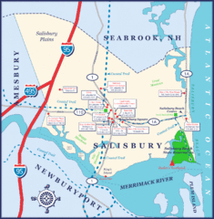
Salisbury Town Map
105 miles away
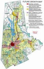
Danbury Regional Growth Map
Guide to future growth of Danbury, CT and surrounds
105 miles away
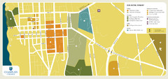
Burlington, Vermont City Tourist Map
The city of Burlington, Vermont
105 miles away
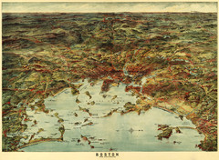
Walker's Map of Boston Harbor and Environs...
Walker's map of Boston Harbor and immediate environs from 1905.
106 miles away
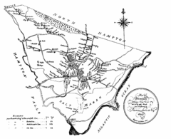
Hampton NH Map 1806
1806 map of Hampton, NH. Shows roads and settlements.
106 miles away
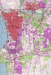
Burlington Vt 87 Map
Topographical map of the city of Burlington, Vt.
106 miles away

Cockaponset State Forest North Section trail map
Trail map for the north section of Cockaponset State Forest in Connecticut
106 miles away
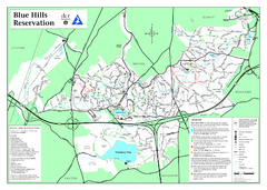
Blue Hills State Park Map
Clearly marked state park map of this beautiful state park.
106 miles away
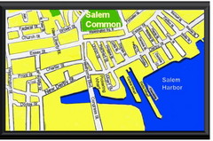
Salem, Massachusetts Guide Map
106 miles away
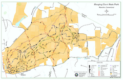
Sleeping Giant State Park map
Trail map for Sleeping Giant State Park in Connecticut.
106 miles away
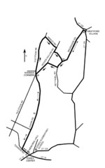
30K Race Course Map
Green Mountain Athletic Association Common to Common 30K Course Map in Essex Junction, VT
106 miles away
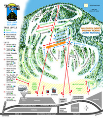
Thunder Ridge Ski Trail Map
Trail map from Thunder Ridge.
106 miles away
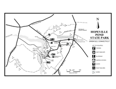
Hopeville Pond State Park trail map
Trail map for Hopevill Pond State Park in Connecticut
106 miles away
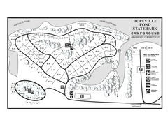
Hopeville Pond campground map
Campground map of Hopeville Pond State Park in Connecticut.
106 miles away
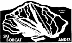
Bobcat Ski Center Ski Trail Map
Trail map from Bobcat Ski Center.
107 miles away
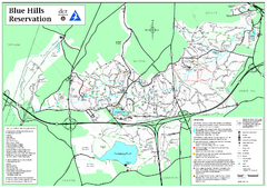
Blue Hills Reservation Trail Map
Trail map of the Blue Hills Reservation in Massachusetts
107 miles away
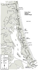
Parker River Map
Map of Parker River National Wildlife Refuge for birdlife
107 miles away
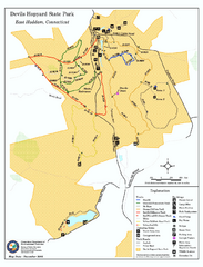
Devils Hophard State Park map
Trail and camprground map for Devils Hopyard State Park in Connecticut.
107 miles away
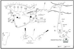
Underhill State Park Campground Map
Campground map for Underhill State Park in Vermont.
107 miles away
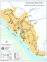
Kettletown State Park trail map
Trail map for Kettletown State Park in Connecticut.
108 miles away
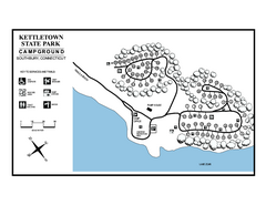
Kettletown State Park campground map
Campground map for Kettletown State Park in Connecticut.
108 miles away
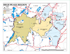
Adirondacks Canoeing Map
Guide to canoeing in the Adirondacks
108 miles away

