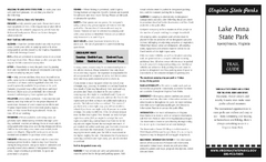
Lake Anna State Park Map
Detailed state park map.
113 miles away
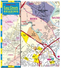
Reading, Pennsylvania City Map
114 miles away
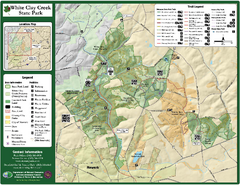
White Clay Creek State Park Map
Clear map and legend of this beautiful state park.
115 miles away

White Clay Creek Preserve map
White Clay Creek Preserve State Park recreation and trail map
115 miles away

University of Delaware Map
University of Delaware Campus Map. All buildings shown.
116 miles away
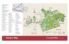
Carnegie Mellon Campus Map
Campus map of Carnegie Mellon University (CMU) in Pittsburgh, PA.
117 miles away
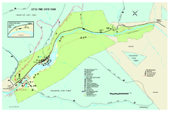
Little Pine State Park Map
Detailed recreation map for Little Pine State Park in Pennsylvania
117 miles away
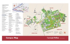
Carnegie Mellon Campus Map
Map of the Carnegie Mellon Campus. Includes all buildings, streets and the location of the campus...
117 miles away
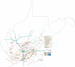
Southern West Virginia Tourist Map
Cities in the southern part of West Virginia.
117 miles away
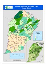
Chester County Tree Cover Map
Poster map of tree cover in Chester County, Pennsylvania
117 miles away
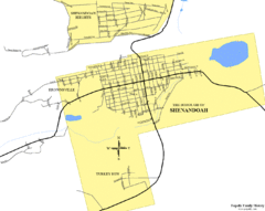
Shenandoah, Pennsylvania Map
118 miles away
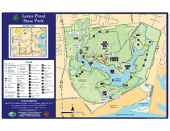
Lums Pond State Park Map
Clear legend and map of this wonderful state park.
119 miles away
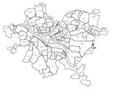
Pittsburgh neighborhoods Map
119 miles away
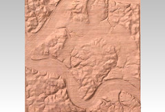
Pittsburgh map carved by CarvedMaps.com
Wood Map of the three rivers area of Pittsburgh, PA. CarvedMaps.com can carve any area within...
119 miles away
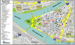
Pittsburgh Tourist Map
119 miles away
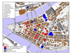
Pittsburgh Tourist Map
119 miles away
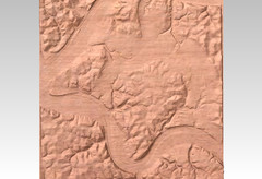
Pittsburgh, PA carved by carvedmaps.com Map
We can carve any location within the United States. Do you have a mountain cabin? We can carve...
119 miles away
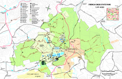
French Creek State Park map
Detailed recreation map for French Creek State Park in Pennsylvania
119 miles away

Locust Lake State Park map
Detailed map of Locust Lake State Park in Pennsylvania
119 miles away
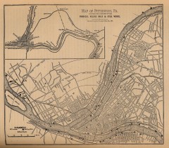
Antique map of Pittsburgh from 1879
"Map of Pittsburgh, Pa. Showing the Location of its Furnaces, Rolling Mills and Steel Works...
119 miles away
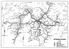
Pittsburgh, Pennsylvania City Map
119 miles away
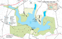
Marsh Creek State Park map
Detailed map of Marsh Creek State Park in Pennsylvania.
120 miles away
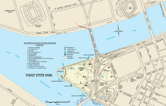
Point State Park Map
Recreation map for Point State Park in Pennsylvania
120 miles away
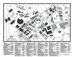
University of Pittsburgh - Main Campus Map
University of Pittsburgh - Main Campus Map. All buildings shown.
120 miles away
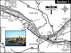
Ohio River at Pittsburgh, PA at the confluence of...
This is a page from the Ohio River Guidebook. The Ohio River begins at this confluence. This map...
121 miles away
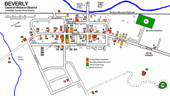
Beverly Historic District map
Tourist map of Historic Beverly of Randolph County, West Virginia.
121 miles away
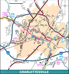
Charlottesville, Virginia City Map
122 miles away
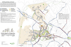
University of Virginia SMART Transportation Map
UVA Bicycle Map and Guide, including transit
122 miles away
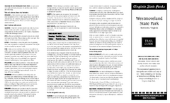
Westmoreland State Park Map
Fishing, hiking, camping and more are all available at this state park.
124 miles away
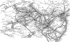
Reading Railroad System Map
Reading Railroad system map
124 miles away
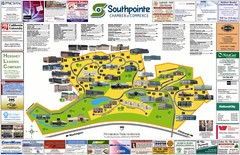
Southpointe Community Map
Tourist map of planned community in Pennsylvania
124 miles away

Bucktail State Park Natural Area map
Detailed map of Bucktail State Park Natural Area in Pennsylvania
124 miles away

Ole Bull State Park Map
Detailed recreation map of Ole Bull State Park in Pennsylvania
125 miles away

Tuscarora State Park Map
Detailed recreation map for Tuscarora State Park in Pennsylvania
125 miles away

Clear Creek State Park map
Detailed map of Clear Creek State Park in Pennsylvania
125 miles away
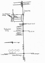
Delaware City Map
City map of Delaware City with Fort Delaware Society highlighted
125 miles away
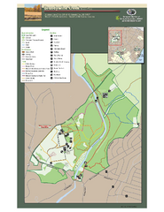
Brandywine Creek State Park Map
Easy to read map and legend of this beautiful state park.
126 miles away
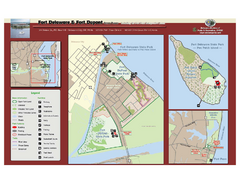
Fort Delaware State Park Map
Nice park on a beautiful island.
126 miles away
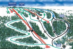
Eagle Rock Ski Trail Map
Official ski trail map of Eagle Rock Resort ski area from the 2007-2008 season.
126 miles away
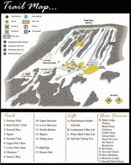
Ski Sawmill Ski Trail Map
Trail map from Ski Sawmill.
127 miles away

