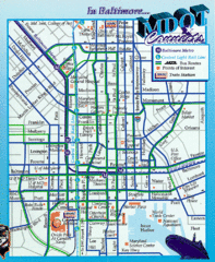
Baltimore, Maryland City Map
77 miles away
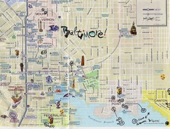
Baltimore Tourist Map
77 miles away
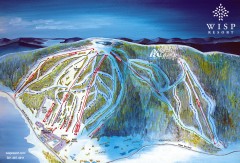
Wisp Ski Trail Map
Official ski trail map of Wisp Resort ski area in McHenry, MD
77 miles away
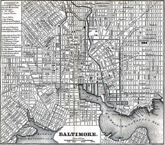
Antique Map of Baltimore from 1869
Antique map of Baltimore Maryland from Appletons' Hand-Book of American Travel. Published in...
77 miles away
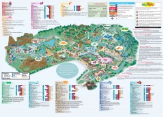
Hershey Park Official Map
Official 2007 map of the Hershey Theme Park in Hershey, PA
77 miles away
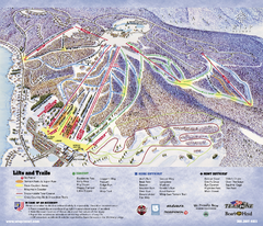
Wisp at Deep Creek Mountain Resort Ski Trail Map
Trail map from Wisp at Deep Creek Mountain Resort.
77 miles away
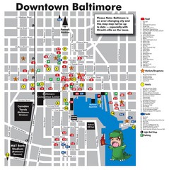
Downtown Baltimore Tourist Map
Map of Food, Hotels and Major Attractions surrouding the Baltimore Convention Center in Baltimore...
77 miles away
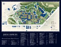
The Johns Hopkins University Map
The Johns Hopkins University Campus Map. All buildings shown.
77 miles away
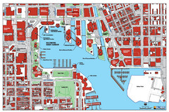
Baltimore Harbor Map
Guide to Baltimore, Maryland harbor
78 miles away
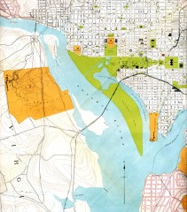
Antique map of Washington D.C. from 1901
Portion of "Map of the District of Columbia" No. D-287, Commission on the Improvement of...
78 miles away
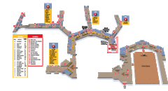
Baltimore Washington International Airport Map
78 miles away
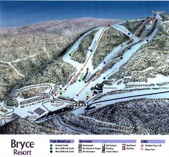
Bryce Resort Ski Trail Map
Trail map from Bryce Resort.
78 miles away
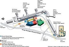
Reagan National Airport DCA Map
78 miles away
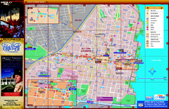
Alexandria City Tourist Map
Tourist street map of city
78 miles away
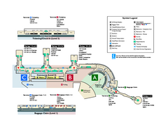
Ronald Reagan Washington National Airport Map
Official Terminal Map of Ronald Reagan Washington National Airport. Shows all areas.
78 miles away

Poe Valley State Park map
Detailed recreation map for Poe Valley State Park in Pennsylvania
78 miles away
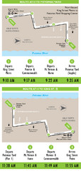
DC Metro Route Between King Street and Potomac...
79 miles away

Black Moshannon State Park map
Detailed map for Moshannon State Park in Pennsylvania.
80 miles away

Yellow Creek State Park map
Recreation map for Yellow Creek State Park in Pennsylvania
81 miles away
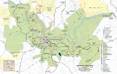
Ohiopyle State Park map
Detailed recreation map for Ohiopyle State Park in Pennsylvania.
82 miles away
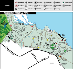
Pohick Bay Regional Park Map
Park map of Pohick Bay Regional Park near Lorton, VA on the Potomac River. Shows trails and...
84 miles away
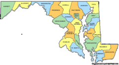
Maryland Counties Map
84 miles away
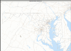
Maryland Zip Code Map
Check out this Zip code map and every other state and county zip code map zipcodeguy.com.
84 miles away
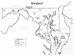
Marylands Airports Map
84 miles away
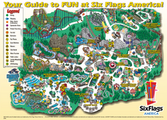
Six Flags America Theme Park Map
Official Park Map of Six Flags America in Washington D.C.
85 miles away
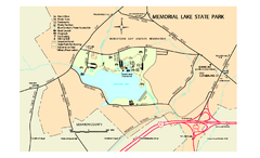
Memorial Lake State Park map
Detailed map of Memorial Lake State Park in Pennsylvania
85 miles away
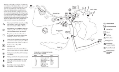
Mason Neck State Park Map
Trail map of Mason Neck State Park near Lornton, Virginia. Shows approx. 3 miles of hiking trails...
86 miles away
Mystic Mountain at Nemacolin Woodlands Resort Ski...
Trail map from Mystic Mountain at Nemacolin Woodlands Resort.
86 miles away
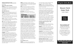
Mason Neck State Park Map
Descriptive map detailing trails, rest stops, and more.
86 miles away
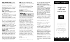
Leesylvania State Park Map
Clear map of this small state park.
87 miles away
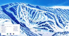
Canaan Valley Resort Ski Trail Map
Trail map from Canaan Valley Resort.
88 miles away
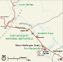
Fort Necessity National Battlefield Official Map
Official NPS map of Fort Necessity National Battlefield in Pennsylvania. The park is open daily...
88 miles away
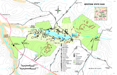
Keystone State Park Map
Detailed recreation map for Keystone State Park in Pennsylvania
88 miles away

Susquehannock State Park map
Detailed recreation map for Susquehannock State Park in Pennsylvania
88 miles away
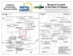
Culpeper, Virginia City Map
Locations and resources in Culpeper
88 miles away
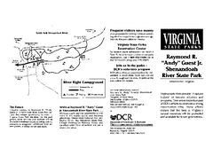
Shenandoah River State Park Map
Detailed map and legend of this beautiful state park.
89 miles away
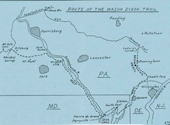
Mason Dixon Trail Map
Hand drawn map of the Mason-Dixon Trail. The 193 mile long Mason-Dixon Trail starts on the...
89 miles away
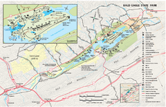
Bald Eagle State Park map
Detailed trail map of Bald Eagle State Park in Pennsylvania.
90 miles away

Shenandoah National Park map
Official NPS map of Shenandoah National Park.
92 miles away
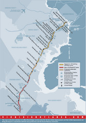
Proposed Expansion of I-95/395 HOV/Bus/Hot Lanes...
92 miles away

