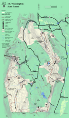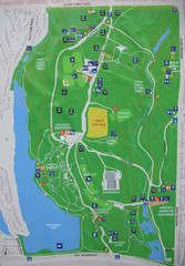
High Park Map
281 miles away

Toronto Subway Map
Official RT/subway map of the Toronto Transit Commission.
281 miles away
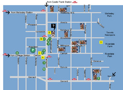
Cabbagetown Tour of Houses Map
281 miles away
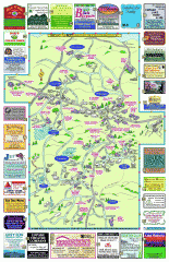
Columbia County - Boston Corners, Copake, Copake...
Tourist map of Columbia County, Mass. Includes towns of Boston Corners, Copake, Copake Falls...
281 miles away
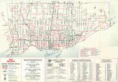
1976 Toronto City Map
Guide to transit and subway systems, points of interest and major roads
281 miles away
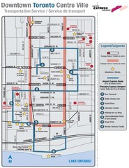
Downtown Toronto Tourist Map
282 miles away
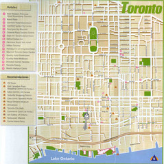
Toronto Tourist Map
282 miles away
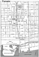
Toronto Tourist Map
282 miles away
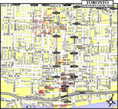
Toronto Tourist Map
282 miles away
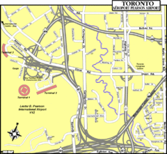
Toronto Airport Map
282 miles away
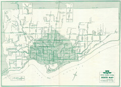
1962 Transit Toronto Guide Map
282 miles away
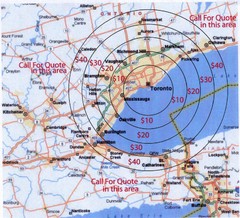
Transportation Rates in Toronto Map
Travel rates in Toronto, Canada
282 miles away
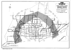
1954 Metro Transit System Map
282 miles away
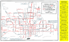
1952 Totonto Transit System Map
282 miles away
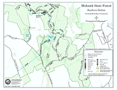
South Mohawk Mountain State Forest (Summer Trails...
Summer trails for South Mohawk State Forest in Connecticut.
282 miles away

North Carolina Counties Map
282 miles away
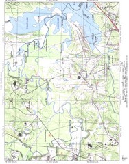
North Carolina Rivers Map
282 miles away
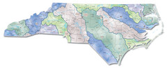
Watersheds North Carolina Map
North Carolina’s rivers link the Blue Ridge, Piedmont, and Coastal Plain. This map shows the...
282 miles away
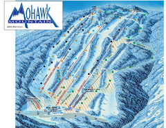
Mohawk Mountain Ski Trail Map
Ski trail map of Mohawk Mountain ski area
282 miles away

South Mohawk Mountain State Forest (Winter Trails...
Winter trial map for the Southern Section of Mohawk Mountain State Forest in Connecticut.
282 miles away
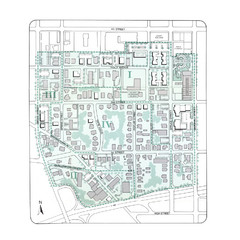
Downtown Wiston-Salem Map
The Holly Avenue neighborhood located on the southwestern edge of downtown Winston-Salem has...
282 miles away

North Mohawk Mountain State Forest (Summer Trails...
Summer trail map of the North section of Mohawk Mountain State Forest in Connecticut.
282 miles away

North Mohawk Mountain State Forest (Winter Trails...
Winter trail map for North Mohawk Mountain State Forest in Connecticut.
282 miles away
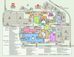
Fanshawe College Map
Campus map of London Campus
282 miles away
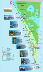
Point Pelee National Park Map
Large and clear national park map
282 miles away
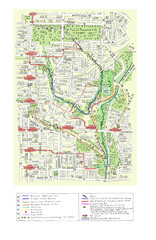
Toronto Brickworks Trail Map
Trail map of area around the Brickworks in Toronto, Canada
283 miles away
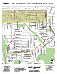
Moore Park Tourist Map
283 miles away

London Ski Club at Boler Mountain and Brochure...
Trail map from London Ski Club at Boler Mountain, which provides downhill skiing. This ski area has...
283 miles away
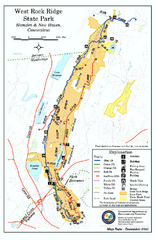
West Rock Ridge State Park map
Trail map of West Rock Ridge State Park in Connecticut.
284 miles away
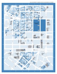
Yale University Campus South and Medical Center...
Yale University Campus South and Medical Center, including the Hewitt Quad, Cross Campus, Old Campus
284 miles away
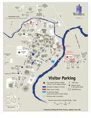
University of Western Ontario Map
Campus map
284 miles away
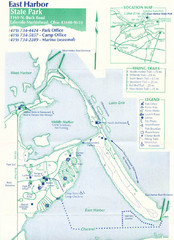
East Harbor State Park Map
284 miles away
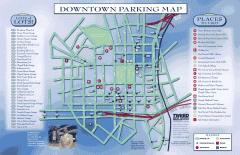
Downtown New Haven Parking Map
Shows locations of all town parking lots and also points of interest
285 miles away

Yale University Map
285 miles away
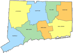
Connecticut Counties Map
285 miles away
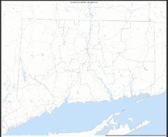
Connecticut Zip Code Map
Check out this Zip code map and every other state and county zip code map zipcodeguy.com.
285 miles away
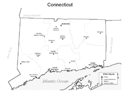
Conneticut Airports Map
285 miles away
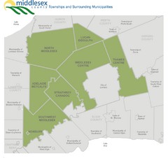
Middlesex County Map
Guide to Middlesex County and surrounds
285 miles away
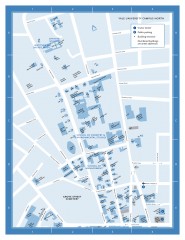
Yale University Campus North Map
Yale University Campus Map - North Campus, including School of Forestry & Environmental Studies...
285 miles away

