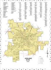
Mohican State Park map
Detailed recreation map for Mohican State Park in Ohio
236 miles away
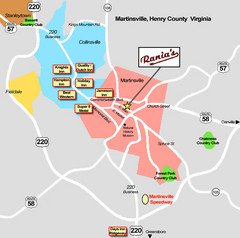
Martinsville Restaurant and Hotel Map
236 miles away
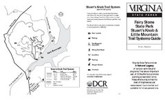
Fairy Stone State Park Map
Clearly marked state park map with trail system.
236 miles away
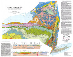
New York State Geologic Map
1:1,000,000 scale geological map of New York State
236 miles away

Rochester, New York City Map
236 miles away
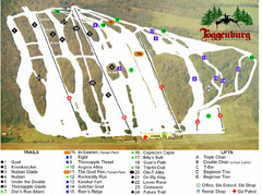
Toggenburg Ski Center Ski Trail Map
Trail map from Toggenburg Ski Center.
236 miles away
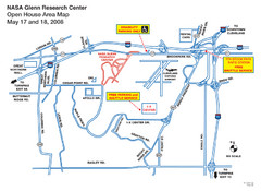
NASA Glenn Research Center Location Map
237 miles away
Claytor Lake State Park Map
Map of this beautiful state park.
237 miles away

Downtown Rochester, New York Map
Tourist map of downtown Rochester, New York. Various areas of interest, parking, and streets are...
237 miles away
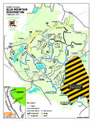
Blue Mountain Reservation Mountain Bike Trail Map
Mountain biking map of the Blue Mountain Reservation from the Westchester Mountain Biking...
237 miles away
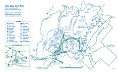
Lake Hope State Park map
Detailed recreation map for Lake Hope State Park in Ohio
237 miles away
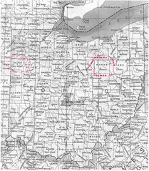
Ohio County Map
238 miles away

Niagara Falls Map
Photographic Map of Niagara Falls - tourist / visitor information.
238 miles away
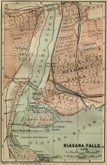
Antique map of Niagara Falls from 1894
"Niagara Falls" from Baedeker, Karl. The Dominion of Canada with Newfoundland and an...
239 miles away
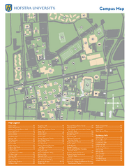
Hofstra University Campus Map
239 miles away
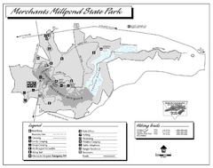
Merchants Millpond State Park map
Detailed recreation map for Merchants Millpond State Park in North Carolina
239 miles away
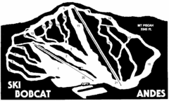
Bobcat Ski Center Ski Trail Map
Trail map from Bobcat Ski Center.
239 miles away
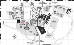
Nassau Community College Map
Campus Map
239 miles away

Brantling Ski Slopes Ski Trail Map
Trail map from Brantling Ski Slopes.
240 miles away
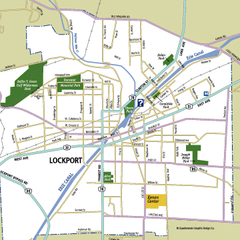
Lockport, New York Map
Map of downtown Lockport, New York, with parks, hospitals, and other points of interest shown.
240 miles away
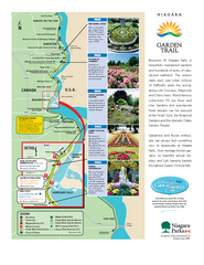
Niagara Garden Trail Map
Tourist map of attractions along the Garden Trail along the Canadian side of the St. Lawrence River...
241 miles away
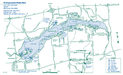
Buckeye Lake State Park map
Detailed recreation map for the Buckeye Lake area in Ohio
241 miles away
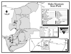
Medoc Mountain State Park map
Detailed recreation map for Medoc Mountain State Park in North Carolina.
241 miles away
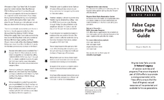
False Cape State Park Map
Clear state park map
243 miles away
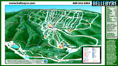
Belleayre Mountain Ski Trail Map
Trail map from Belleayre Mountain.
244 miles away
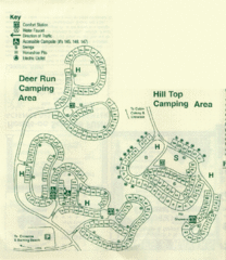
Gilbert Lake State Park Camping Map
244 miles away
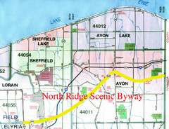
North Ridge Byway Map
The North Ridge Scenic Byway runs along Ohio State Route 254 in Lorain County, Ohio. Variously know...
245 miles away
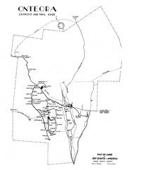
Onteora District Map
Boy Scouts Map of Onteora
245 miles away
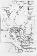
Gilbert Lake State Park Map
245 miles away
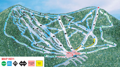
Ski Plattekill Ski Trail Map
Trail map from Ski Plattekill.
246 miles away
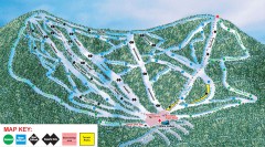
Plattekill Ski Trail Map
Official ski trail map of Plattekill ski area from the 2007-2008 season.
246 miles away
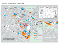
Syracuse University, North Campus Map
Campus map of Syracuse University, North Campus. Maxwell School of Executive Education is...
246 miles away
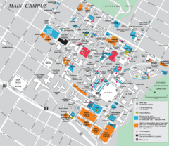
Syracuse University Campus Map
Map of the Syracuse University Campus. Includes buildings, parking, streets, and location of the...
246 miles away

Syracuse University Map
Syracuse University Campus Map. All buildings shown.
247 miles away
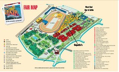
New York State Fairgrounds Map
247 miles away
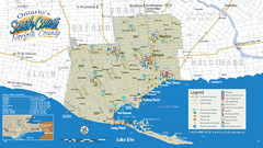
Norfolk County Tourist Map
Tourist map of Norfolk County, Ontario.
247 miles away
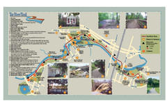
Tar Riverm Trail Map
249 miles away
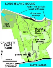
Caumsett State Park Map
Park map of Caumsett State Park on Long Island Sound, New York
249 miles away
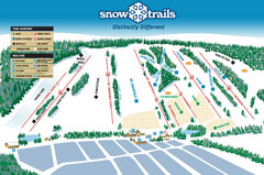
Snow Ski Trail Map
Trail map from Snow Trails.
249 miles away

