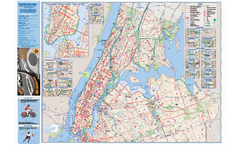
NYC Biking Route Map (Manhattan & Queens)
Official NYC biking map of Manhattan and Queens.
225 miles away
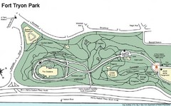
Fort Tyron Park Map
225 miles away
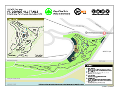
Highbridge Park mountain bike trail map
Mountain biking trail network opened in May 2007. Only mountain biking trails in Manhattan. 25...
225 miles away
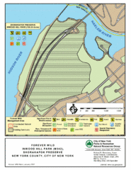
Inwood Hill Park Map
Park map of Inwood Hill Park in the Shorakapok Preserve, New York. 136 acres.
225 miles away
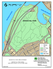
Inwood Hill Park Trail Map
Trail map of Inwood Hill Park located at the extreme northern tip of Manhattan. 136 acres.
225 miles away
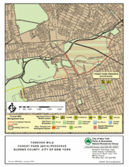
Forest Park Preserve Map
Map of Forest Park Preserve, Queens County, City of New York. 538 acres of trees and fields
226 miles away
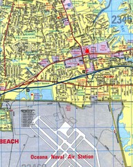
Virginia Beach, Virginia City Map
226 miles away
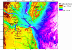
Digital Elevation Relief of Virginia Beach Map
The digital elevation model represents the bare-earth relief of the coastal zone around Virginia...
226 miles away
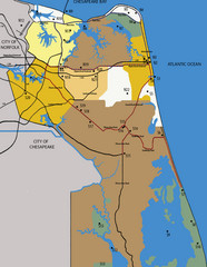
Virginia Beach Tourist Map
227 miles away
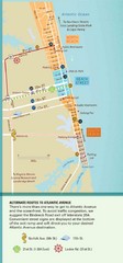
Virginia Beach Tourist Map
227 miles away
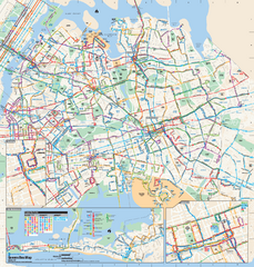
Queens, New York Bus Map
Official MTA Bus Map of Queens, NY. Shows all routes.
227 miles away
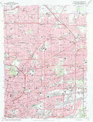
Northeast Buffalo Topo Map
1:24,000 topographic map of the northeast part of Buffalo, New York and surrounding suburbs...
227 miles away
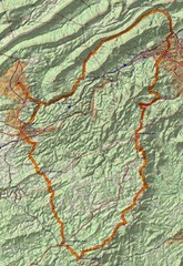
Twelve O'Clock Knob Loop Map
This is a pretty significant ride in Virginia. The main feature is two devastating back-to-back...
227 miles away
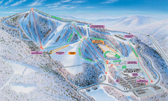
Winterplace Ski Resort Ski Trail Map
Trail map from Winterplace Ski Resort.
227 miles away
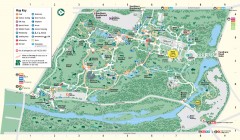
Bronx Zoo Map
Bronx Zoo. The Zoo is open 365 days a year. "Now through November 4, 2007, our hours are 10...
227 miles away
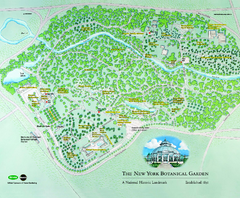
The New York Botanical Garden Map
Official Map of The New York Botanical Garden in New York. Shows all areas and different gardens.
228 miles away
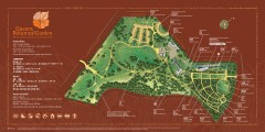
Queens Botanical Garden Map
Shows facilities and names of different gardens. In many languages.
228 miles away

Queens College Campus Map
3D map of Queens College campus. All buildings shown.
228 miles away
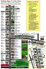
Little Italy Map
Walking tour map with labeled sites.
228 miles away
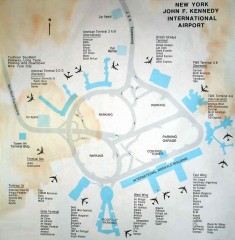
John F. Kennedy International Airport Map
Terminal and Road map of John F. Kennedy International Airport.
228 miles away
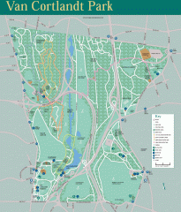
Van Cortlandt Park Trail Map
Trail map of Van Cortlandt Park in the Bronx. Covers 573 acres.
228 miles away
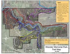
Wooster Memorial Park Trail Map
228 miles away
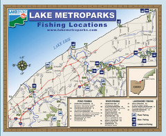
Lake Metroparks Fishing Map
228 miles away

Song Mountain Ski Trail Map
Trail map from Song Mountain.
229 miles away
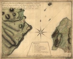
Oyster Bay and Huntington, Huntington Bay Map
A plan of the Narrows of Hells-gate in the East River, near which batteries of cannon and mortars...
229 miles away
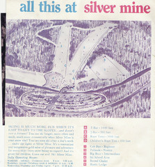
Silver Mine Credit to chris lundquist Ski Trail...
Trail map from Silver Mine, which provides downhill skiing.
229 miles away
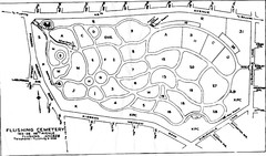
Flushing Cemetery Map
Map of the sections of Flushing Cemetery in Queens
229 miles away
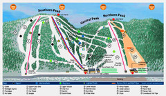
Labrador Mountain Ski Trail Map
Trail map from Labrador Mountain.
229 miles away

Marcellus Snowmobile Trail Map
Map of snowmobile trails throughout Marcellus area
230 miles away
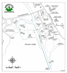
Emerson Park Map
230 miles away
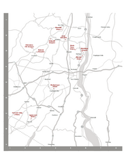
Shawangunk Wine Trail Map
Map of the Shawangunk Wine Trail on the Hudson River in New York. Shows all vineyards and wineries...
231 miles away
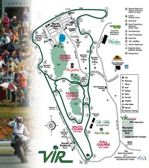
Virginia International Raceway Guide Map
VIR Guide Map
231 miles away
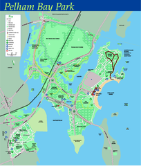
Pelham Bay Park NYC Map
Official detailed map of Pelham bay park, the largest park in New York City at 2,700 acres. Map...
231 miles away
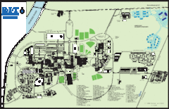
Rochester Institute of Technology Campus Map
Map of RIT campus.
231 miles away

Cleveland Rapid Transit Map
232 miles away

City Island Street Map
Street map of City Island, New York
232 miles away
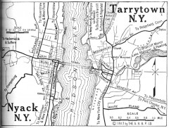
Antique map of Nyack and Tarrytown from 1917
Map of Nyack and Tarrytown, NY from Automobile Blue Book, 1917, Vol. 3
232 miles away
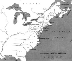
Colonial North America - 1689-1783 Historical Map
233 miles away
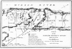
Harlem Hieghts Affair Map
Topography of the field during the battle on Sept 16 1776
233 miles away

St. John Fisher College Map
Campus map
234 miles away

