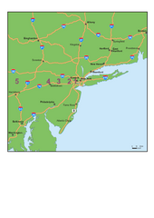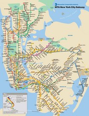
New York City Public Transportation Map
218 miles away
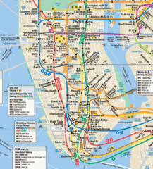
New York City Subway Map
218 miles away

Manhattan Bus Map
218 miles away
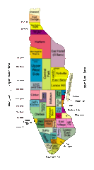
New York Neighborhoods Map
218 miles away
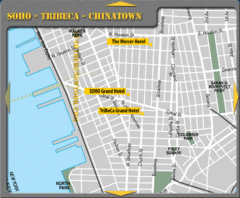
Chinatown New York City Hotel Map
218 miles away

Downtown Manhattan Tourist Map
Detailed tourist map of Downtown Manhattan showing points of interest and modes of transportation
218 miles away
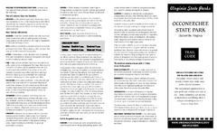
Occoneechee State Park Map
This map clearly marks rest stops, trails, campgrounds and more.
218 miles away
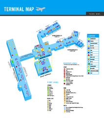
Norfolk International Airport Terminal Map
Terminal Map of Norfolk International Airport in Virginia. Shows all areas.
218 miles away
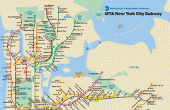
New York City Subway Map
Official MTA map of the NYC subway system... note not drawn to scale.
219 miles away
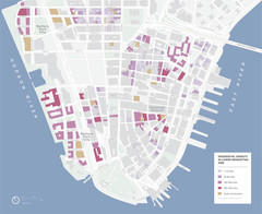
Lower Manhattan Map
219 miles away
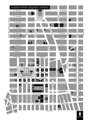
New York University Map
Campus map of New York University. All buildings included.
219 miles away
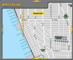
West Village New York City Hotel Map
219 miles away
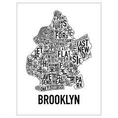
Brooklyn Neighborhood Art Map
Artistic neighborhood map of Brooklyn
219 miles away
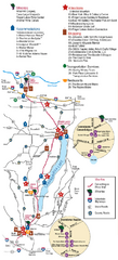
Canadaigua Wine Trail Map
Map of the Canadaigua Wine Map in Canadaigua, New York. Shows all wineries and vineyards in the...
219 miles away
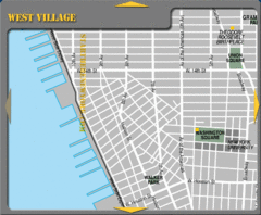
West Village New York City Tourist Map
219 miles away
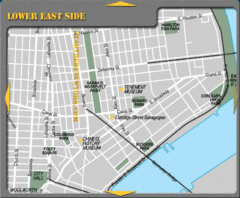
Lower Eastside New York City Tourist Map
219 miles away
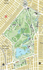
Prospect Park Map
219 miles away

Prospect Park Map
Overview map of Prospect Park, a 585-acre city park located in the heart of Brooklyn. Designed by...
219 miles away
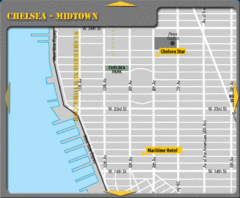
Chelsea Midtown New York City Hotel Map
219 miles away
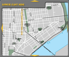
Lower Eastside New York City Hotel Map
219 miles away
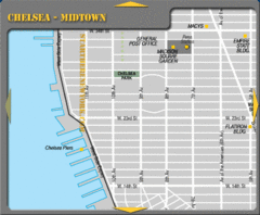
Chelsea Midtown New York City Map
219 miles away
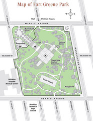
Fort Greene Park Map
Overview map of Fort Greene Park. Shows the park's historic structures and recreational...
219 miles away
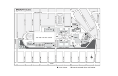
Brooklyn College Campus Map
Brooklyn College Campus Map. All buildings shown.
219 miles away
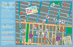
Deli Magazine's Lower East Side Music venues...
219 miles away
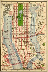
Antique map of Manhattan from 1916
"New York City Battery to 110th Street" from Rider's New York City, Henry Holt and...
219 miles away
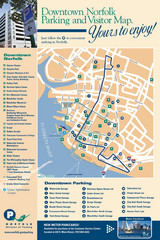
Norfolk, Virginia City Map
219 miles away
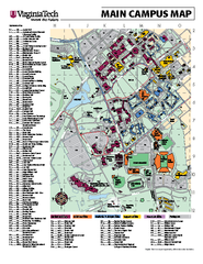
Virginia Tech Campus Map
Virginia Tech Campus Map. Shows all areas.
219 miles away
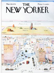
A View of the World from 9th Avenue (Map)
Famous Saul Steinberg New Yorker Magazine cover from 1976 depicts a New Yorker's egocentric...
219 miles away
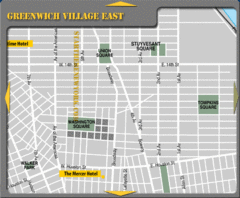
Greenhich Village New York City Hotel Map
220 miles away
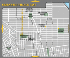
East Greenwich Village New York City Tourist Map
220 miles away
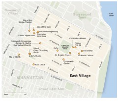
East Village walking tour map
Walking tour of the East Village in New York City, showing points of interest.
220 miles away
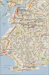
Brooklyn Attractions map
Map of attractions and points of interest in Brooklyn, New York.
220 miles away
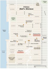
Hells Kitchen tourist map
Detailed tourist map of the Hells Kitchen neighborhood of Manhattan, New York
220 miles away
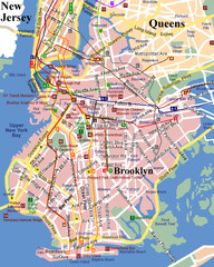
Brooklyn, Attractions Map
220 miles away
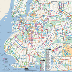
Brooklyn, New York Bus Map
Official MTA Bus Map of Brooklyn, New York. Shows all routes.
220 miles away
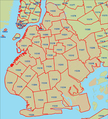
Brooklyn zip codes Map
220 miles away
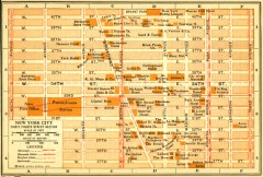
Antique map of Manhattan from 1916
"Thirty Fourth Street Section" from Rider's New York City, Henry Holt and Company...
220 miles away
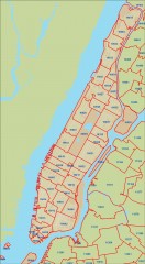
New York City zipcode map
Map of zipcodes in Manhattan and the outer boroughs of New York City.
220 miles away
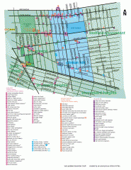
Clinton Hill Neighborhood map
Business and transportation map of the Clinton Hill neighborhood in Brooklyn, New York.
220 miles away

