Staunton River State Park Map
Clear map marking trails, rest stops, facilities and more.
214 miles away
Staunton River Battlefield State Park Map
Clearly labeled state park map.
215 miles away
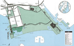
Liberty State Park Map
Map of Liberty State Park, New Jersey on the New York Harbor and next to Ellis Island. Shows...
215 miles away
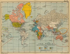
Colonial Posessions and Commercial Highways 1910...
Historical world map (1910) of various colonization and highway expansion
216 miles away
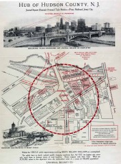
Antique map of Jersey City from 1925
Antique map of Jersey City, New Jersey from 1925.
216 miles away
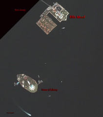
Ellis Island and Statue of Liberty Map
Aerial map of Ellis Island and the Statue of Liberty
216 miles away
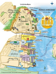
Jersey City, New Jersey City Map
Sketch of Jersey City and Hoboken, New Jersey
216 miles away
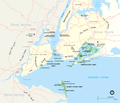
Gateway National Recreation Area Map
Park map of lands in the NPS Gateway National Recreation Area in New York and New Jersey. Shows...
216 miles away
Coney Island Map
Aerial photo Coney Island map
216 miles away
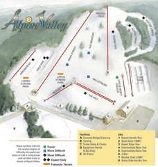
Alpine Valley Ski Area Ski Trail Map
Trail map from Alpine Valley Ski Area.
216 miles away
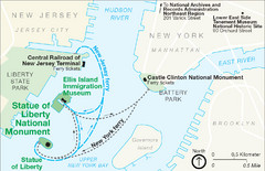
Statue of Liberty National Monument Map
Official NPS map of Statue of Liberty National Monument. Shows Statue of Liberty, Ellis Island, and...
217 miles away
Pipestand Map
Historical map with reference to pipestand for the fire department
217 miles away
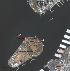
Governor's Island Map
Aerial photo view map of Governor's Island, New York
217 miles away
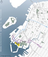
IKEA Brooklyn Map
Location map and map of bus routes and access streets to IKEA in Brooklyn, NY.
217 miles away
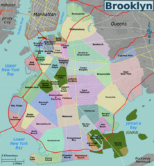
Brooklyn, Neighborhoods Map
217 miles away
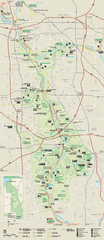
Cuyahoga Valley National Park Official Park Map
Official NPS map of Cuyahoga Valley National Park in Ohio. Map shows all areas. Cuyahoga Valley...
217 miles away
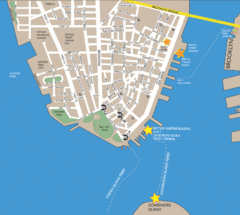
Lower Manhattan Area Map
217 miles away
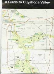
Cuyhoga National Park Map
217 miles away
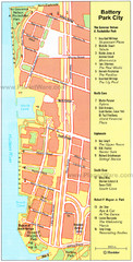
Battery Park City Map
City map of Battery Park City, an area of Manhattan, with art highlighted
218 miles away
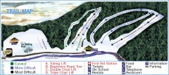
Holiday Mountain Ski Trail Map
Official ski trail map of Holiday Mountain ski area
218 miles away

NYC Biking Route Map (Part of Queens, Brookyln...
Official biking route map of part of Queens, Brookyln and Staten Island
218 miles away
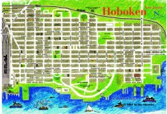
Hoboken Walking Tour map
Walking tour map of Hoboken, NJ. Shows points of interest.
218 miles away
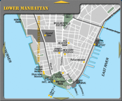
Lowe Manhattan New York City Tourist Map
218 miles away
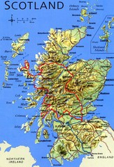
Scotland Tourist Map
218 miles away

Battery Park City Map
218 miles away
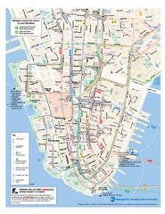
Lower Manhattan Public Transportation Map
Official MTA map of subway, bus, and ferry routes in Lower Manhattan.
218 miles away
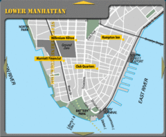
Lower Manhattan New York City Hotel Map
218 miles away
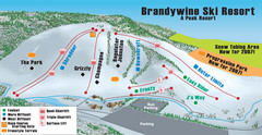
Boston Mills / Brandywine Ski Resort Brandywine...
Trail map from Boston Mills / Brandywine Ski Resort.
218 miles away
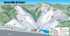
Boston Mills / Brandywine Ski Resort Boston Mills...
Trail map from Boston Mills / Brandywine Ski Resort.
218 miles away
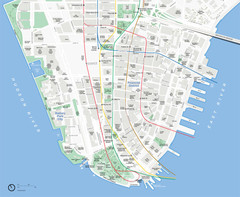
Lower Manhattan Map
218 miles away
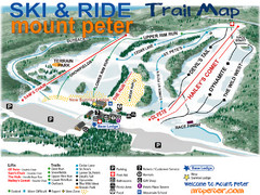
Mt. Peter Ski Area Ski Trail Map
Trail map from Mt. Peter Ski Area.
218 miles away
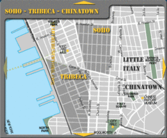
Chinatown New York City Tourist Map
218 miles away
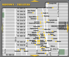
Broadway Theatre New York City Map
218 miles away
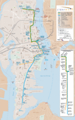
Hudson-Bergen Lightrail Map
Alternative transportation within the city.
218 miles away
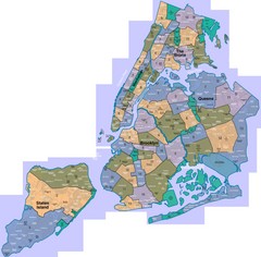
New York: A City of Neighborhoods Map
This is a map of NYC's Community Districts and neighborhoods. This map is pasted together from...
218 miles away

Sanitary & Topographical Map of the City and...
The 1865 Viele Map of Manhattan is still used today to locate springs and streams that have long...
218 miles away
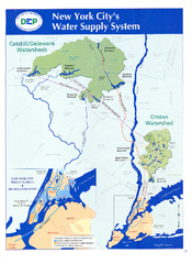
New York City's Water Supply System Map
Map of the reservoirs, aqueducts, and tunnels that supply water to NYC.
218 miles away
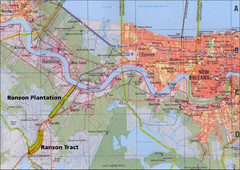
New Orleans Tourist Map
218 miles away
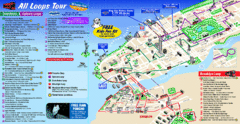
New York City Bus Tour Map
218 miles away
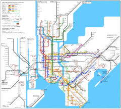
New York City Subway Map
218 miles away

